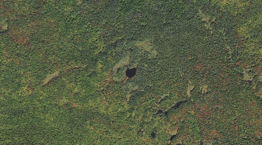
Munn Pond is a lake in Coos County, New Hampshire, located about 30.0 miles northwest of Chapman Inn in Bethel, Maine. It appears on the USGS Teakettle Ridge…
Kilback Pond is a lake in Coos County, New Hampshire, located about 30.0 miles west-northwest of Chapman Inn in Bethel, Maine. It appears on the USGS West Milan…
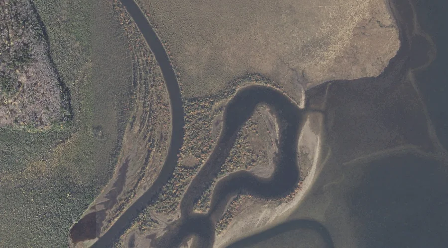
Leonard Pond is a lake in Coos County, New Hampshire, located about 30.0 miles north-northwest of Chapman Inn in Bethel, Maine. It appears on the USGS Umbagog Lake…
South Branch Israel River is a stream in Coos County, New Hampshire, located about 30.1 miles west of Chapman Inn in Bethel, Maine. It appears on the USGS…
Smoky Camp Brook is a stream in Coos County, New Hampshire, located about 30.1 miles northwest of Chapman Inn in Bethel, Maine. It appears on the USGS Teakettle…
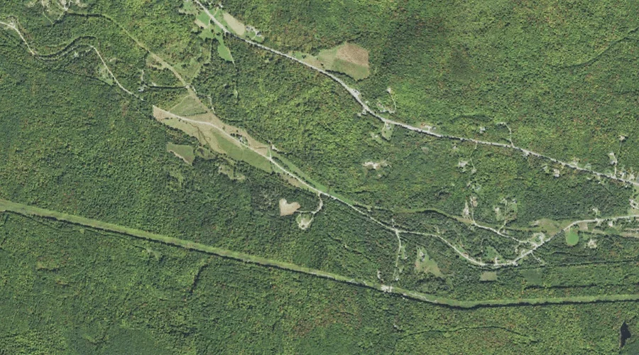
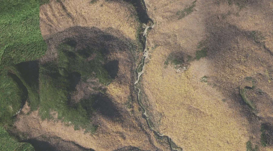
Franklin Brook is a stream in Coos County, New Hampshire, located about 29.8 miles west-southwest of Chapman Inn in Bethel, Maine. It appears on the USGS Mount Washington…
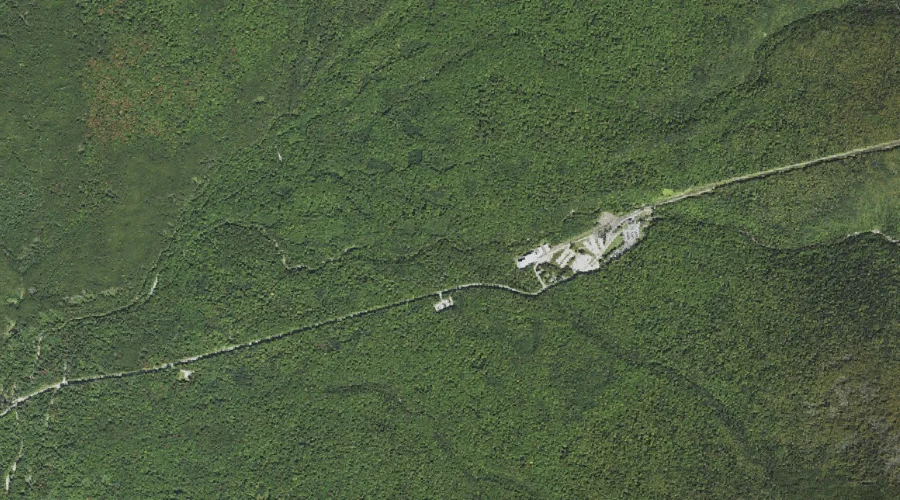
Pliny Mountain is a summit in Coos County, New Hampshire, located about 29.8 miles west of Chapman Inn in Bethel, Maine. It appears on the USGS Jefferson topographic…
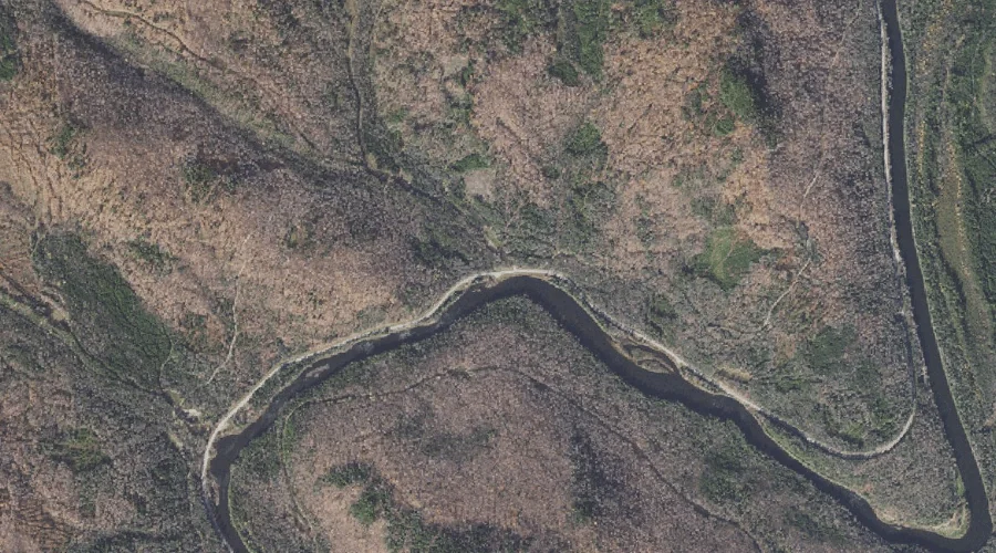
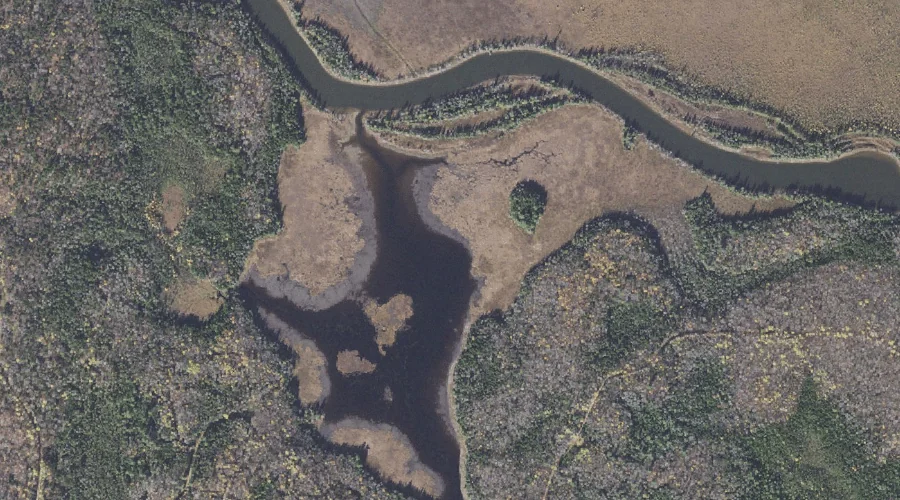
Sweat Meadows is a swamp in Coos County, New Hampshire, located about 29.9 miles north-northwest of Chapman Inn in Bethel, Maine. It appears on the USGS Umbagog Lake…
Upper Stairs Brook is a stream in Coos County, New Hampshire, located about 29.9 miles southwest of Chapman Inn in Bethel, Maine. It appears on the USGS Stairs…
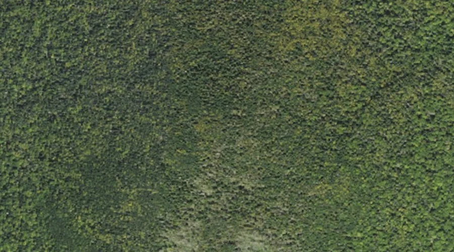
Boy Mountain is a summit in Coos County, New Hampshire, located about 30.0 miles west of Chapman Inn in Bethel, Maine. It appears on the USGS Mount Dartmouth…