 Aerial imagery: USGS National Map (public domain)
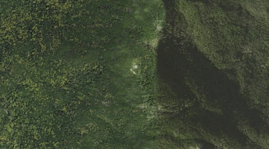
Mount Isolation — Summits 28.9 Miles WSW of Chapman Inn
Coos County, New Hampshire · USGS Stairs Mountain Quadrangle · GNIS 872086
At 4,003 feet of elevation, Mount Isolation rises above Coos County, New Hampshire as a named summit on the USGS Stairs Mountain topographic quadrangle — about 28.9 miles west-southwest of Chapman Inn in Bethel, Maine.
Wikidata short description: “mountain in United States of America”
Landmark Profile
Classification & USGS reference
Catalogued under GNIS Feature ID 872086, Mount Isolation is recorded as a summit on the USGS Stairs Mountain quadrangle in Coos County, New Hampshire (FIPS 33/007). Last revised by the Board on Geographic Names on 12/01/2020.
Coordinates & physical setting
Mount Isolation sits at 44.21478° N, 71.30924° W (DMS 44°12′53″ N, 71°18′33″ W).
Dimensions & elevation
- Summit elevation 4,003 ft / 1,220 m — a serious high-elevation objective.
Other summits in Coos County, New Hampshire
Coos County, NH contains 226 summits catalogued in the USGS Geographic Names Information System, counting Mount Isolation itself. The ones closest to Mount Isolation:
| Feature | USGS Quadrangle | Elevation | Distance |
|---|---|---|---|
| Mount Davis | Stairs Mountain | 3,819 ft | 0.7 mi |
| Engine Hill | Stairs Mountain | — | 1.7 mi |
| Gulf Peak | Stairs Mountain | — | 2.1 mi |
| Mount Eisenhower | Stairs Mountain | — | 2.7 mi |
| Boott Spur | Mount Washington | — | 2.7 mi |
| Mount Franklin | Mount Washington | — | 2.7 mi |
| Mount Monroe | Mount Washington | — | 2.9 mi |
| Mount Pierce | Stairs Mountain | 4,311 ft | 2.9 mi |
| Mount Jackson | Crawford Notch | — | 3.4 mi |
| Mount Washington | Mount Washington | — | 3.9 mi |
Features on the USGS Stairs Mountain Quadrangle
The Stairs Mountain 7.5-minute topographic quadrangle holds 28 catalogued natural features alongside Mount Isolation. A sampling nearest to this location:
| Feature | Type | County | Offset |
|---|---|---|---|
| Mount Davis | Summits | Coos County, NH | 0.7 mi |
| Montalban Ridge | Ridges | Coos County, NH | 1.2 mi |
| Engine Hill | Summits | Coos County, NH | 1.7 mi |
| Rocky Branch Ridge | Ridges | Coos County, NH | 1.9 mi |
| Gulf Peak | Summits | Coos County, NH | 2.1 mi |
| Oakes Gulf | Valleys | Coos County, NH | 2.1 mi |
| Desolation Pond | Lakes | Coos County, NH | 2.2 mi |
| Glen Boulder | Pillars | Coos County, NH | 2.3 mi |
| Gulf of Slides | Valleys | Coos County, NH | 2.5 mi |
| Mount Eisenhower | Summits | Coos County, NH | 2.7 mi |
Ranking & rarity
- Mount Isolation is #7 of 19 summits with recorded elevation in Coos County, New Hampshire.
- Among the 1280 summits catalogued within 80 km of Chapman Inn, Mount Isolation ranks #583 by proximity to the Inn (closer than 54%).
Historical record
Also known as: Mt. Isolation.
Mount Isolation is a mountain located in Coos County, New Hampshire. The mountain is part of the Presidential Range of the White Mountains. Mount Isolation is the highest peak on the Montalban Ridge which extends south from Boott Spur. Extended history on Wikipedia →
Visiting from Chapman Inn
Distance, bearing & drive time
A 50-minute drive along back roads separates the front door of Chapman Inn from Mount Isolation — 28.9 miles west-southwest as the crow flies, on compass bearing WSW.
Best time to visit
Late June through early October, when the summit is reliably snow-free. Being this far north (lat 44.215°), first snows typically arrive by mid-October and linger into early May — narrow the window accordingly. At 28.9 miles from the Inn, block the full day — sunrise start, late return, packed meals. Conditions at Mount Isolation track the nearby Mount Davis summit (0.7 mi away) closely — if that is runnable, so is this.
Nearest features to Mount Isolation
| Feature | Type | County | Distance |
|---|---|---|---|
| Mount Davis | Summits | Coos County, NH | 0.7 mi |
| Montalban Ridge | Ridges | Coos County, NH | 1.2 mi |
| Engine Hill | Summits | Coos County, NH | 1.7 mi |
| Rocky Branch Ridge | Ridges | Coos County, NH | 1.9 mi |
| Gulf Peak | Summits | Coos County, NH | 2.1 mi |
Frequently Asked Questions
Where is Mount Isolation located?
Mount Isolation is in Coos County, New Hampshire, approximately 28.9 miles west-southwest of Chapman Inn in Bethel, Maine. It appears on the USGS Stairs Mountain topographic quadrangle.
How far is Mount Isolation from Chapman Inn?
The drive runs about 50 minutes, 28.9 miles west-southwest (bearing WSW) of the Inn.
What type of natural feature is Mount Isolation?
The U.S. Geological Survey classifies Mount Isolation as a summit, catalogued under GNIS Feature ID 872086 on the Stairs Mountain quadrangle.
When is the best time to visit Mount Isolation?
Late June through early October, when the summit is reliably snow-free.
How tall is Mount Isolation?
Mount Isolation rises to 4,003 feet (1,220 metres) above sea level.
What other names has Mount Isolation been known by?
Alternate or historical names on record: Mt. Isolation.
How many other summits are in Coos County, New Hampshire?
GNIS lists 225 other summits in Coos County, New Hampshire.
Wikidata: Q6921446.