Mount Waumbek is a summit in Coos County, New Hampshire, located about 31.1 miles west of Chapman Inn in Bethel, Maine. It rises to 4,006 feet above sea…
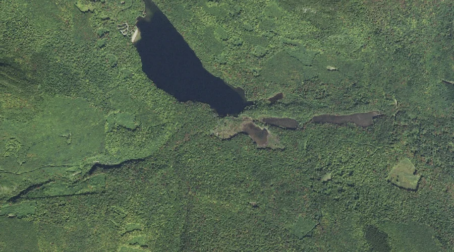
Sokokis Brook is a stream in Coos County, New Hampshire, located about 31.1 miles west-southwest of Chapman Inn in Bethel, Maine. It appears on the USGS Mount Dartmouth…
Mount Pierce is a summit in Coos County, New Hampshire, located about 31.1 miles west-southwest of Chapman Inn in Bethel, Maine. It rises to 4,311 feet above sea…
Phillips Brook is a stream in Coos County, New Hampshire, located about 30.9 miles west-northwest of Chapman Inn in Bethel, Maine. It appears on the USGS West Milan…
Devils Hopyard Stream is a stream in Coos County, New Hampshire, located about 30.9 miles west-northwest of Chapman Inn in Bethel, Maine. It appears on the USGS West…
Currier Mountain is a summit in Coos County, New Hampshire, located about 30.6 miles west of Chapman Inn in Bethel, Maine. It appears on the USGS Mount Dartmouth…
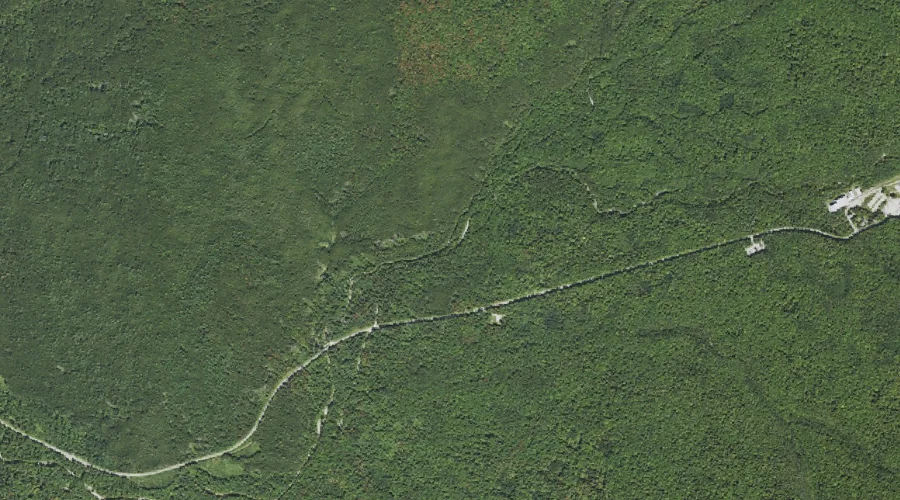
Jefferson Brook is a stream in Coos County, New Hampshire, located about 30.6 miles west-southwest of Chapman Inn in Bethel, Maine. It appears on the USGS Mount Dartmouth…
Cold Stream is a stream in Coos County, New Hampshire, located about 30.8 miles west-northwest of Chapman Inn in Bethel, Maine. It appears on the USGS West Milan…
Terrace Mountain is a summit in Coos County, New Hampshire, located about 30.3 miles west of Chapman Inn in Bethel, Maine. It appears on the USGS Jefferson topographic…
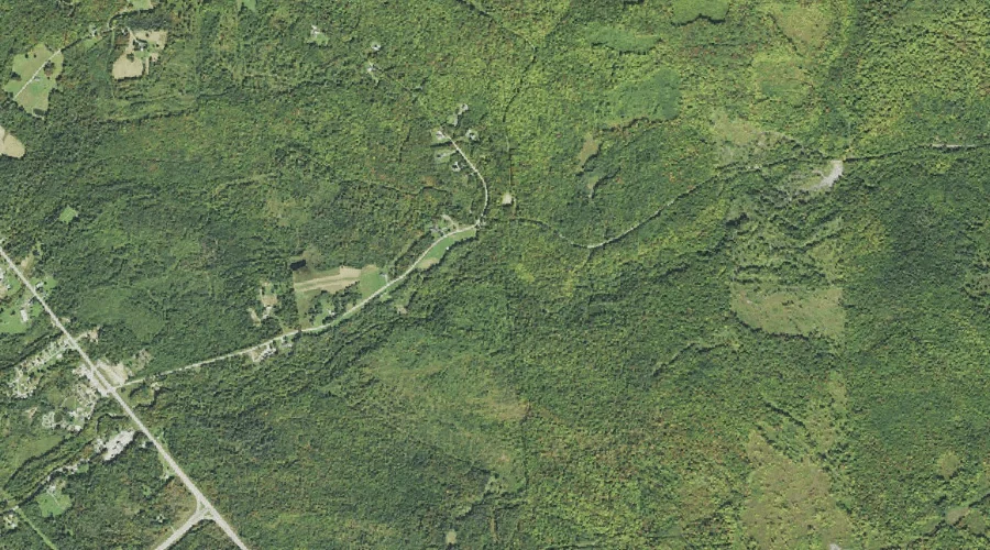
Little Ledge Brook is a stream in Coos County, New Hampshire, located about 30.4 miles west of Chapman Inn in Bethel, Maine. It appears on the USGS Jefferson…