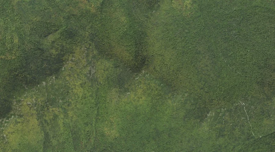
Cow Mountain is a summit in Coos County, New Hampshire, located about 30.4 miles northwest of Chapman Inn in Bethel, Maine. It appears on the USGS Dummer Ponds…
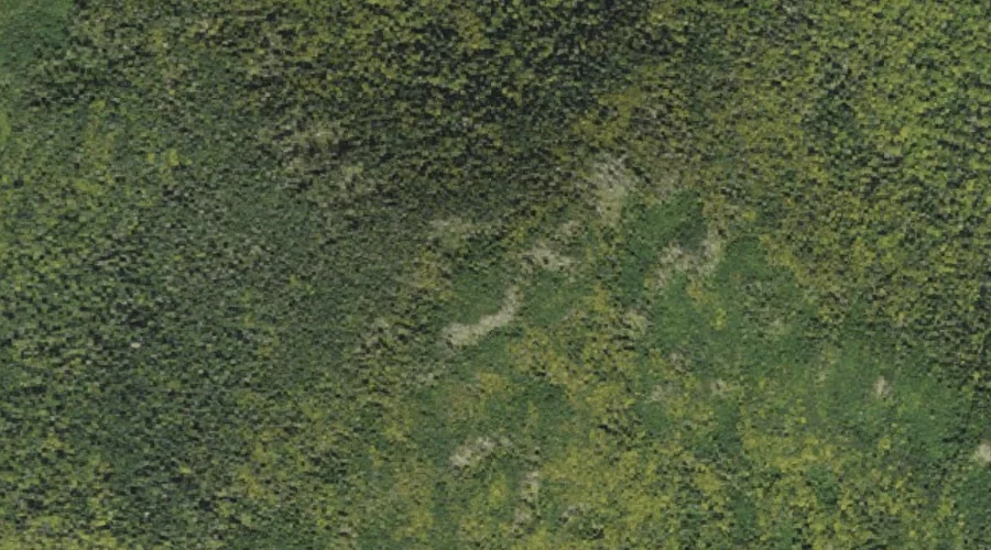
North Peak is a summit in Coos County, New Hampshire, located about 30.4 miles west-northwest of Chapman Inn in Bethel, Maine. It appears on the USGS West Milan…
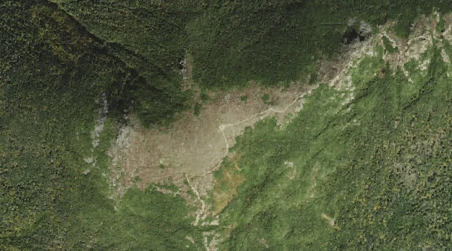
Location Hill is a summit in Coos County, New Hampshire, located about 30.6 miles west-northwest of Chapman Inn in Bethel, Maine. It appears on the USGS West Milan…
Deer Mountain is a summit in Coos County, New Hampshire, located about 30.2 miles northwest of Chapman Inn in Bethel, Maine. It appears on the USGS Teakettle Ridge…
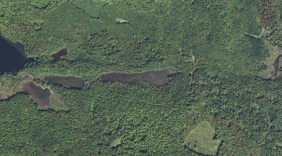
Rocky Pond is a lake in Coos County, New Hampshire, located about 30.2 miles west-northwest of Chapman Inn in Bethel, Maine. It appears on the USGS West Milan…
Dartmouth Range is a mountain range in Coos County, New Hampshire, located about 30.2 miles west-southwest of Chapman Inn in Bethel, Maine. It appears on the USGS Mount…
Mount Dartmouth is a summit in Coos County, New Hampshire, located about 30.2 miles west-southwest of Chapman Inn in Bethel, Maine. It appears on the USGS Mount Dartmouth…
Clay Brook is a stream in Coos County, New Hampshire, located about 30.3 miles west-southwest of Chapman Inn in Bethel, Maine. It appears on the USGS Mount Washington…
Mount Eisenhower is a summit in Coos County, New Hampshire, located about 30.0 miles west-southwest of Chapman Inn in Bethel, Maine. It appears on the USGS Stairs Mountain…
Rogers Ledge is a summit in Coos County, New Hampshire, located about 30.0 miles west-northwest of Chapman Inn in Bethel, Maine. It appears on the USGS West Milan…