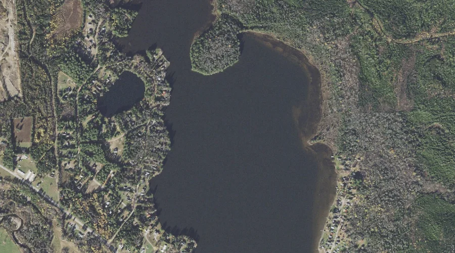
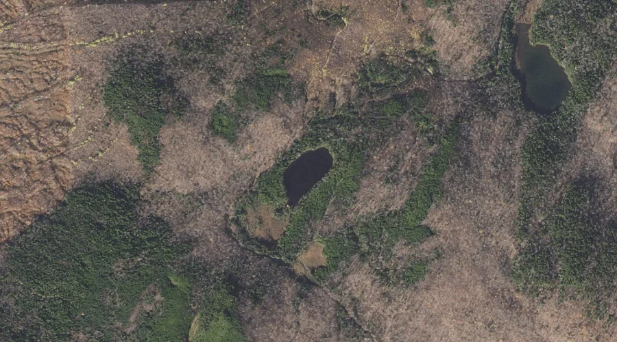
Akers Pond is a reservoir in Coos County, New Hampshire, located about 32.9 miles north-northwest of Chapman Inn in Bethel, Maine. It appears on the USGS Errol topographic…
Mount Webster is a summit in Coos County, New Hampshire, located about 33.0 miles west-southwest of Chapman Inn in Bethel, Maine. It rises to 3,911 feet above sea…
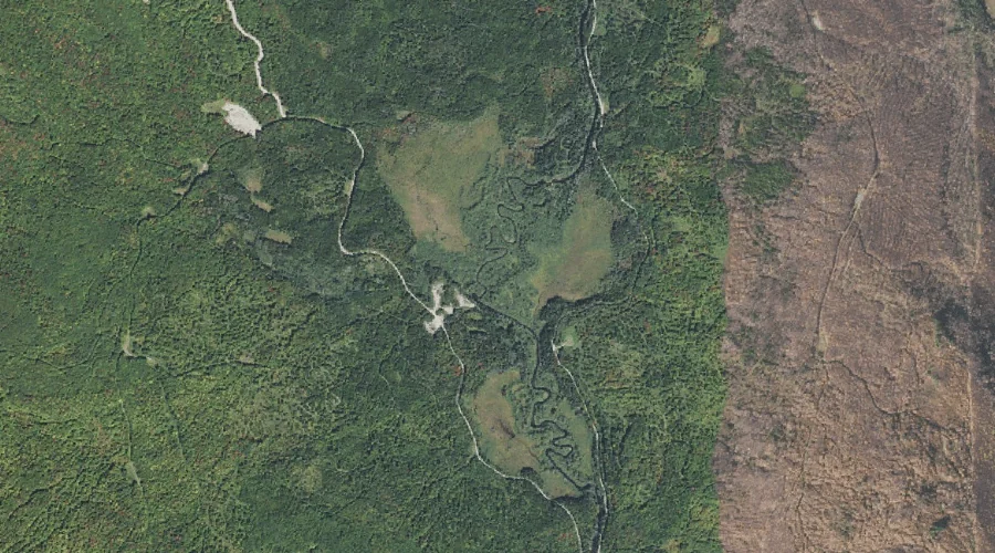
Webster Brook is a stream in Coos County, New Hampshire, located about 32.7 miles west of Chapman Inn in Bethel, Maine. It appears on the USGS Jefferson topographic…
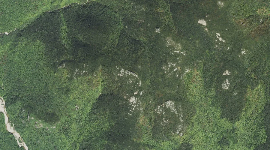
Signal Mountain is a summit in Coos County, New Hampshire, located about 32.7 miles northwest of Chapman Inn in Bethel, Maine. It appears on the USGS Errol topographic…
Jodrie Brook is a stream in Coos County, New Hampshire, located about 32.8 miles northwest of Chapman Inn in Bethel, Maine. It appears on the USGS Dummer Ponds…
Mount Patience is a summit in Coos County, New Hampshire, located about 32.8 miles northwest of Chapman Inn in Bethel, Maine. It appears on the USGS Dummer Ponds…
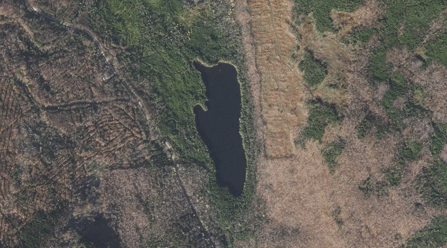
Long Pond is a lake in Coos County, New Hampshire, located about 32.6 miles northwest of Chapman Inn in Bethel, Maine. It appears on the USGS Errol topographic…
Signal Pond is a lake in Coos County, New Hampshire, located about 32.6 miles northwest of Chapman Inn in Bethel, Maine. It appears on the USGS Errol topographic…
Bemis Ridge is a ridge in Coos County, New Hampshire, located about 32.7 miles southwest of Chapman Inn in Bethel, Maine. It appears on the USGS Stairs Mountain…
Mount Crawford is a summit in Coos County, New Hampshire, located about 32.7 miles southwest of Chapman Inn in Bethel, Maine. It rises to 3,119 feet above sea…