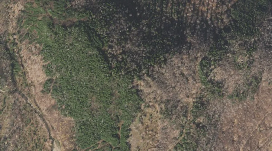
 Aerial imagery: USGS National Map (public domain)
Mount Patience — Summits 32.8 Miles NW of Chapman Inn
Coos County, New Hampshire · USGS Dummer Ponds Quadrangle · GNIS 869017
Catalogued on the USGS Dummer Ponds quadrangle in Coos County, New Hampshire, Mount Patience — a summit — lies 32.8 miles northwest of Chapman Inn.
Wikidata short description: “mountain in United States of America”
Landmark Profile
Classification & USGS reference
Catalogued under GNIS Feature ID 869017, Mount Patience is recorded as a summit on the USGS Dummer Ponds quadrangle in Coos County, New Hampshire (FIPS 33/007). Last revised by the Board on Geographic Names on 09/02/2022.
Coordinates & physical setting
Mount Patience sits at 44.74579° N, 71.25341° W (DMS 44°44′45″ N, 71°15′12″ W).
Other summits in Coos County, New Hampshire
Coos County, NH contains 226 summits catalogued in the USGS Geographic Names Information System, counting Mount Patience itself. The ones closest to Mount Patience:
| Feature | USGS Quadrangle | Elevation | Distance |
|---|---|---|---|
| Signal Mountain | Errol | — | 1.7 mi |
| Deer Mountain | Teakettle Ridge | — | 2.7 mi |
| Cow Mountain | Dummer Ponds | — | 3.4 mi |
| Owlhead Mountain | Dixville Notch | — | 3.4 mi |
| Jackknife Hill | Teakettle Ridge | — | 4.2 mi |
| Pond Hill | Teakettle Ridge | — | 4.5 mi |
| Mount Kelsey | Dixville Notch | 3,472 ft | 4.8 mi |
| Sugar Hill | Teakettle Ridge | — | 5.2 mi |
| Double Top Mountain | Teakettle Ridge | — | 6.6 mi |
| Muise Mountain | Bunnell Mountain | — | 6.7 mi |
Features on the USGS Dummer Ponds Quadrangle
The Dummer Ponds 7.5-minute topographic quadrangle holds 14 catalogued natural features alongside Mount Patience. A sampling nearest to this location:
| Feature | Type | County | Offset |
|---|---|---|---|
| West Branch Phillips Brook | Streams | Coos County, NH | 3.1 mi |
| Cow Mountain | Summits | Coos County, NH | 3.4 mi |
| Mud Pond | Lakes | Coos County, NH | 3.4 mi |
| Number Two Brook | Streams | Coos County, NH | 3.9 mi |
| Dummer Ponds | Lakes | Coos County, NH | 3.9 mi |
| Jodrie Brook | Streams | Coos County, NH | 4.8 mi |
| Whitcomb Mountain | Ridges | Coos County, NH | 5.9 mi |
| Trio Pond | Reservoirs | Coos County, NH | 5.9 mi |
| Trio Ponds | Lakes | Coos County, NH | 5.9 mi |
| Pond Brook | Streams | Coos County, NH | 6.7 mi |
Historical record
Also known as: Mt. Patience.
Visiting from Chapman Inn
Distance, bearing & drive time
A 56-minute drive along back roads separates the front door of Chapman Inn from Mount Patience — 32.8 miles northwest as the crow flies, on compass bearing NW.
Best time to visit
Accessible May through November in most years. Being this far north (lat 44.746°), first snows typically arrive by mid-October and linger into early May — narrow the window accordingly. At 32.8 miles from the Inn, block the full day — sunrise start, late return, packed meals. Conditions at Mount Patience track the nearby Lake Metalak (0.6 mi away) closely — if that is runnable, so is this.
Nearest features to Mount Patience
| Feature | Type | County | Distance |
|---|---|---|---|
| Lake Metalak | Lakes | Coos County, NH | 0.6 mi |
| Long Pond | Lakes | Coos County, NH | 1 mi |
| Rock Pond | Lakes | Coos County, NH | 1.1 mi |
| Bragg Pond | Lakes | Coos County, NH | 1.4 mi |
| Moose Pond | Lakes | Coos County, NH | 1.6 mi |
Frequently Asked Questions
Where is Mount Patience located?
Mount Patience is in Coos County, New Hampshire, approximately 32.8 miles northwest of Chapman Inn in Bethel, Maine. It appears on the USGS Dummer Ponds topographic quadrangle.
How far is Mount Patience from Chapman Inn?
The drive runs about 56 minutes, 32.8 miles northwest (bearing NW) of the Inn.
What type of natural feature is Mount Patience?
The U.S. Geological Survey classifies Mount Patience as a summit, catalogued under GNIS Feature ID 869017 on the Dummer Ponds quadrangle.
When is the best time to visit Mount Patience?
Accessible May through November in most years.
What other names has Mount Patience been known by?
Alternate or historical names on record: Mt. Patience.
How many other summits are in Coos County, New Hampshire?
GNIS lists 225 other summits in Coos County, New Hampshire.
Wikidata: Q34882892.