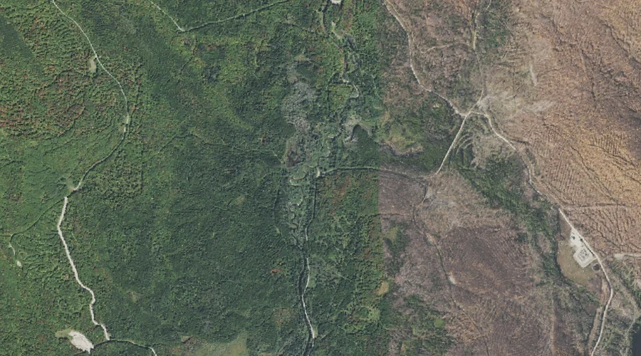
Gibbs Brook is a stream in Coos County, New Hampshire, located about 33.4 miles west-southwest of Chapman Inn in Bethel, Maine. It appears on the USGS Crawford Notch…
Appleby Brook is a stream in Coos County, New Hampshire, located about 33.2 miles west of Chapman Inn in Bethel, Maine. It appears on the USGS Mount Dartmouth…
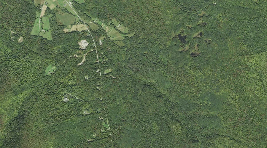
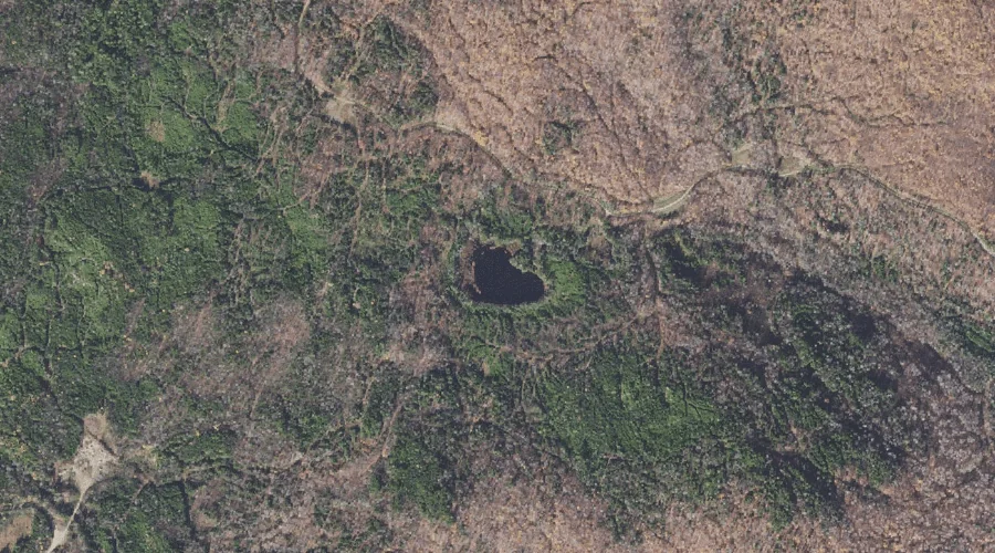
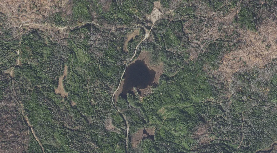
Little Bear Brook Pond is a lake in Coos County, New Hampshire, located about 33.2 miles north-northwest of Chapman Inn in Bethel, Maine. It appears on the USGS…
Number Two Brook is a stream in Coos County, New Hampshire, located about 33.2 miles northwest of Chapman Inn in Bethel, Maine. It appears on the USGS Dummer…
Appleby Mountain is a summit in Coos County, New Hampshire, located about 33.3 miles west of Chapman Inn in Bethel, Maine. It appears on the USGS Mount Dartmouth…
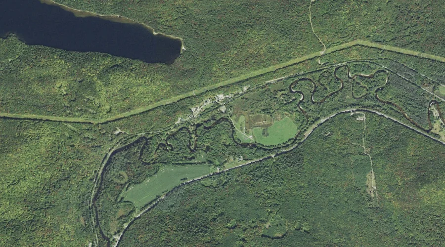
Bear Brook Pond is a lake in Coos County, New Hampshire, located about 33.0 miles north-northwest of Chapman Inn in Bethel, Maine. It appears on the USGS Umbagog…
Mount Joseph Whipple is a summit in Coos County, New Hampshire, located about 33.1 miles west of Chapman Inn in Bethel, Maine. It appears on the USGS Jefferson…
Rowells Brook is a stream in Coos County, New Hampshire, located about 33.1 miles west-northwest of Chapman Inn in Bethel, Maine. It appears on the USGS Stark topographic…
Razor Brook is a stream in Coos County, New Hampshire, located about 33.2 miles southwest of Chapman Inn in Bethel, Maine. It appears on the USGS Bartlett topographic…
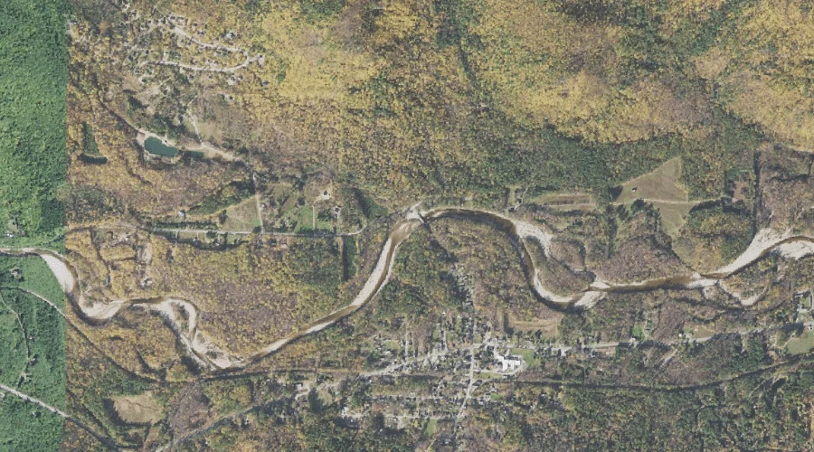
Upper Falls is a waterfall in Coos County, New Hampshire, located about 32.9 miles west-southwest of Chapman Inn in Bethel, Maine. It appears on the USGS Mount Dartmouth…