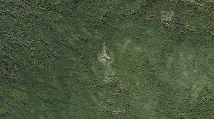
Mount Jackson is a summit in Coos County, New Hampshire, located about 32.2 miles west-southwest of Chapman Inn in Bethel, Maine. It appears on the USGS Crawford Notch…
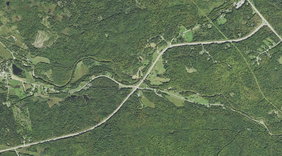
Stag Hollow Brook is a stream in Coos County, New Hampshire, located about 32.2 miles west of Chapman Inn in Bethel, Maine. It appears on the USGS Mount…
Bear Brook is a stream in Coos County, New Hampshire, located about 32.2 miles north-northwest of Chapman Inn in Bethel, Maine. It appears on the USGS Umbagog Lake…
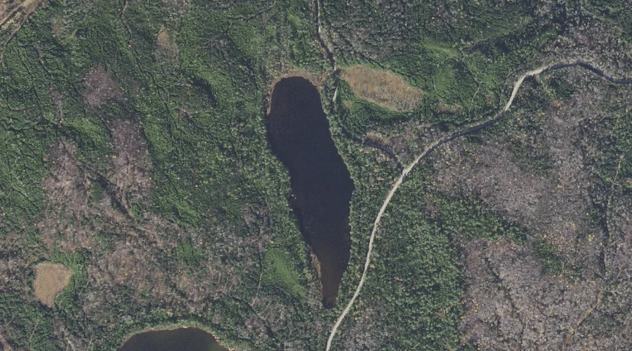
Long Pond is a lake in Coos County, New Hampshire, located about 32.3 miles north-northwest of Chapman Inn in Bethel, Maine. It appears on the USGS Umbagog Lake…
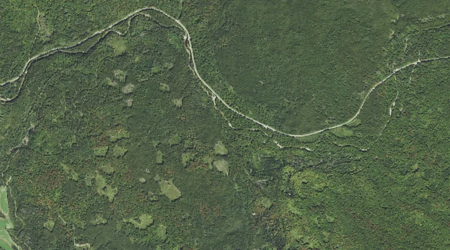
Abenaki Brook is a stream in Coos County, New Hampshire, located about 32.0 miles west-southwest of Chapman Inn in Bethel, Maine. It appears on the USGS Mount Dartmouth…
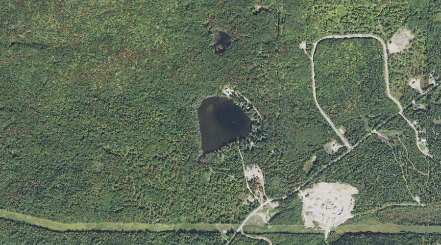
Pike Pond is a lake in Coos County, New Hampshire, located about 31.8 miles west-northwest of Chapman Inn in Bethel, Maine. It appears on the USGS Dummer Ponds…
Assaguam Brook is a stream in Coos County, New Hampshire, located about 31.8 miles west-southwest of Chapman Inn in Bethel, Maine. It appears on the USGS Mount Dartmouth…
Mount Starr King is a summit in Coos County, New Hampshire, located about 31.8 miles west of Chapman Inn in Bethel, Maine. It rises to 3,907 feet above…
Pilot Range is a mountain range in Coos County, New Hampshire, located about 31.6 miles west-northwest of Chapman Inn in Bethel, Maine. It appears on the USGS Stark…
Rock Pond is a lake in Coos County, New Hampshire, located about 31.7 miles northwest of Chapman Inn in Bethel, Maine. It appears on the USGS Teakettle Ridge…