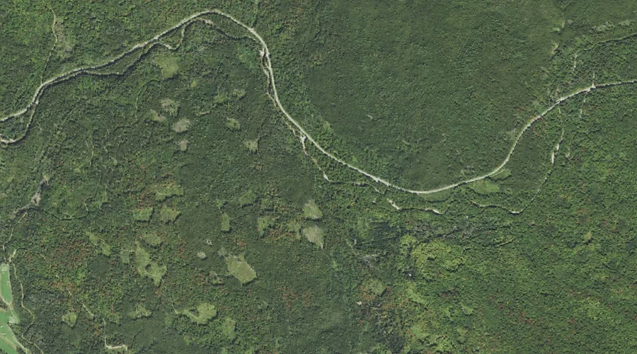
West Branch Mill Brook is a stream in Coos County, New Hampshire, located about 32.4 miles west-northwest of Chapman Inn in Bethel, Maine. It appears on the USGS…
Hickey Brook is a stream in Coos County, New Hampshire, located about 32.4 miles west-northwest of Chapman Inn in Bethel, Maine. It appears on the USGS Stark topographic…
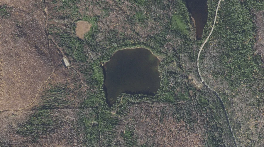
Sweat Pond is a lake in Coos County, New Hampshire, located about 32.5 miles northwest of Chapman Inn in Bethel, Maine. It appears on the USGS Errol topographic…
Haystack Mountain is a summit in Coos County, New Hampshire, located about 32.5 miles west of Chapman Inn in Bethel, Maine. It appears on the USGS Jefferson topographic…
Mount Deception is a summit in Coos County, New Hampshire, located about 32.5 miles west-southwest of Chapman Inn in Bethel, Maine. It appears on the USGS Mount Dartmouth…
Mill Mountain is a summit in Coos County, New Hampshire, located about 32.3 miles west-northwest of Chapman Inn in Bethel, Maine. It appears on the USGS Stark topographic…
Tisdale Spring is a spring in Coos County, New Hampshire, located about 32.3 miles west-southwest of Chapman Inn in Bethel, Maine. It appears on the USGS Crawford Notch…
Abenaki Brook is a stream in Coos County, New Hampshire, located about 32.0 miles west-southwest of Chapman Inn in Bethel, Maine. It appears on the USGS Mount Dartmouth…
Round Pond Lake is a lake in Coos County, New Hampshire, located about 32.0 miles north-northwest of Chapman Inn in Bethel, Maine. It appears on the USGS Umbagog…
East Branch Mill Brook is a stream in Coos County, New Hampshire, located about 32.1 miles west-northwest of Chapman Inn in Bethel, Maine. It appears on the USGS…