 Aerial imagery: USGS National Map (public domain)
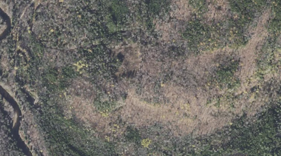
Alice Ledge — Cliffs 36.3 Miles NNW of Chapman Inn
Coos County, New Hampshire · USGS Wilsons Mills Quadrangle · GNIS 871085
Within Coos County, New Hampshire, on the USGS Wilsons Mills quadrangle, the cliff face known as Alice Ledge sits 36.3 miles north-northwest of Chapman Inn.
Wikidata short description: “cliff in Coös County, New Hampshire, United States”
Landmark Profile
Classification & USGS reference
Within Coos County, New Hampshire, the U.S. Geological Survey lists Alice Ledge as a cliff face on the Wilsons Mills topographic quadrangle (FIPS 33/007), under Feature ID 871085. Catalogued in GNIS since 02/01/1990.
Coordinates & physical setting
Alice Ledge sits at 44.88977° N, 71.07341° W (DMS 44°53′23″ N, 71°04′24″ W).
Features on the USGS Wilsons Mills Quadrangle
The Wilsons Mills 7.5-minute topographic quadrangle holds 35 catalogued natural features alongside Alice Ledge. A sampling nearest to this location:
| Feature | Type | County | Offset |
|---|---|---|---|
| Linda Ledge | Cliffs | Coos County, NH | 0.4 mi |
| Dart Wentworth Spring | Springs | Coos County, NH | 0.4 mi |
| Swift Diamond River | Streams | Coos County, NH | 0.5 mi |
| Diamond Peaks | Summits | Coos County, NH | 0.6 mi |
| Windey Ridge | Ridges | Coos County, NH | 1.1 mi |
| Dead Diamond River | Streams | Coos County, NH | 1.5 mi |
| Meadow Brook | Streams | Oxford County, ME | 1.7 mi |
| Alder Brook | Streams | Coos County, NH | 1.8 mi |
| Rands Rock | Summits | Coos County, NH | 1.9 mi |
| Merrill Brook | Streams | Coos County, NH | 2 mi |
Visiting from Chapman Inn
Distance, bearing & drive time
Follow the compass bearing NNW out of Bethel for 36.3 miles (north-northwest) and you reach Alice Ledge; at typical rural speeds the trip runs roughly 62 minutes.
Best time to visit
Accessible May through November in most years. Being this far north (lat 44.890°), first snows typically arrive by mid-October and linger into early May — narrow the window accordingly. At 36.3 miles from the Inn, block the full day — sunrise start, late return, packed meals. Conditions at Alice Ledge track the nearby Linda Ledge cliff face (0.4 mi away) closely — if that is runnable, so is this.
Nearest features to Alice Ledge
| Feature | Type | County | Distance |
|---|---|---|---|
| Linda Ledge | Cliffs | Coos County, NH | 0.4 mi |
| Dart Wentworth Spring | Springs | Coos County, NH | 0.4 mi |
| Swift Diamond River | Streams | Coos County, NH | 0.5 mi |
| Diamond Peaks | Summits | Coos County, NH | 0.6 mi |
| Windey Ridge | Ridges | Coos County, NH | 1.1 mi |
Frequently Asked Questions
Where is Alice Ledge located?
Alice Ledge is in Coos County, New Hampshire, approximately 36.3 miles north-northwest of Chapman Inn in Bethel, Maine. It appears on the USGS Wilsons Mills topographic quadrangle.
How far is Alice Ledge from Chapman Inn?
The drive runs about 62 minutes, 36.3 miles north-northwest (bearing NNW) of the Inn.
What type of natural feature is Alice Ledge?
The U.S. Geological Survey classifies Alice Ledge as a cliff face, catalogued under GNIS Feature ID 871085 on the Wilsons Mills quadrangle.
When is the best time to visit Alice Ledge?
Accessible May through November in most years.
Wikidata: Q34870743.