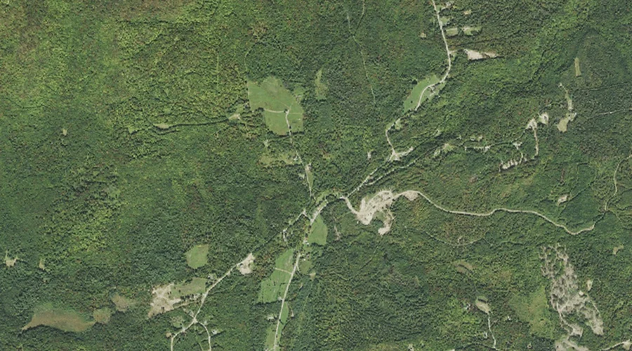
Gay Brook is a stream in Coos County, New Hampshire, located about 41.5 miles west-northwest of Chapman Inn in Bethel, Maine. It appears on the USGS Stratford topographic…
Kimbal Hill is a summit in Coos County, New Hampshire, located about 41.6 miles west of Chapman Inn in Bethel, Maine. It appears on the USGS Bethlehem topographic…
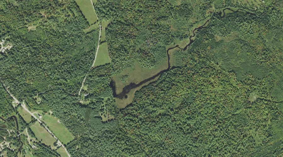
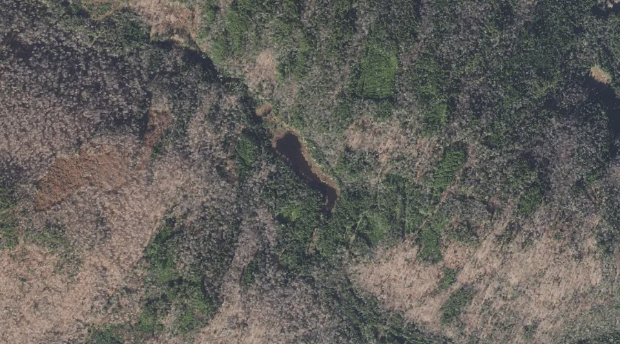
Clark Pond is a lake in Coos County, New Hampshire, located about 41.3 miles west of Chapman Inn in Bethel, Maine. It appears on the USGS Gilman topographic…
Lamb Valley Pond is a lake in Coos County, New Hampshire, located about 41.3 miles north-northwest of Chapman Inn in Bethel, Maine. It appears on the USGS Wilsons…
Abeniki Mountain is a summit in Coos County, New Hampshire, located about 41.4 miles northwest of Chapman Inn in Bethel, Maine. It rises to 2,694 feet above sea…
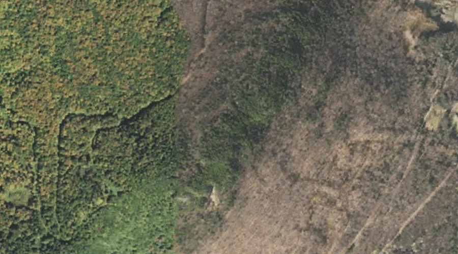
Chase Brook is a stream in Coos County, New Hampshire, located about 41.2 miles west of Chapman Inn in Bethel, Maine. It appears on the USGS Lancaster topographic…
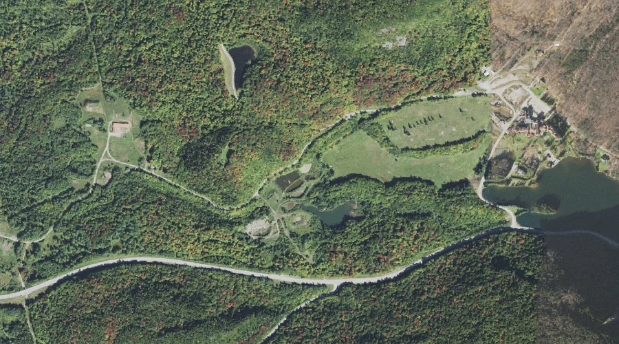
Lake Abeniki is a lake in Coos County, New Hampshire, located about 41.2 miles northwest of Chapman Inn in Bethel, Maine. It appears on the USGS Diamond Pond…
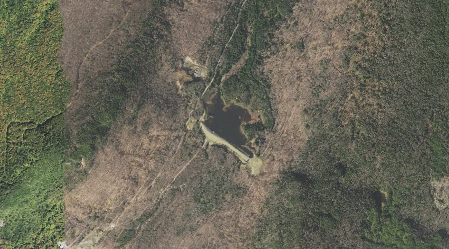
Farm Pond is a reservoir in Coos County, New Hampshire, located about 41.3 miles northwest of Chapman Inn in Bethel, Maine. It appears on the USGS Dixville Notch…
Bog Brook is a stream in Coos County, New Hampshire, located about 41.1 miles west of Chapman Inn in Bethel, Maine. It appears on the USGS Twin Mountain…
Sanguinary Mountain is a summit in Coos County, New Hampshire, located about 41.1 miles northwest of Chapman Inn in Bethel, Maine. It appears on the USGS Diamond Pond…