 Aerial imagery: USGS National Map (public domain)
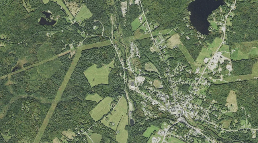
Chase Brook — Streams 41.2 Miles W of Chapman Inn
Coos County, New Hampshire · USGS Lancaster Quadrangle · GNIS 866115
41.2 miles west of Chapman Inn, on the USGS Lancaster topographic quadrangle, Chase Brook is a stream recorded in Coos County, New Hampshire by the federal Geographic Names Information System.
Landmark Profile
Classification & USGS reference
The USGS Lancaster 7.5-minute topographic quadrangle places Chase Brook in Coos County, New Hampshire (FIPS 33/007), classified as a stream in the federal GNIS (Feature ID 866115). Catalogued in GNIS since 08/27/1980.
Coordinates & physical setting
Chase Brook sits at 44.37895° N, 71.62175° W (DMS 44°22′44″ N, 71°37′18″ W).
As a linear feature its source lies near 44.36145° N, 71.66342° W (DMS 44°21′41″ N, 71°39′48″ W) — useful for anglers and paddlers tracing the upstream end.
Other streams in Coos County, New Hampshire
Coos County, NH contains 300 streams catalogued in the USGS Geographic Names Information System, counting Chase Brook itself. The ones closest to Chase Brook:
| Feature | USGS Quadrangle | Distance |
|---|---|---|
| Bog Brook | Twin Mountain | 0.3 mi |
| Carroll Stream | Twin Mountain | 3.2 mi |
| Bear Brook | Twin Mountain | 3.6 mi |
| Ayling Brook | Twin Mountain | 3.7 mi |
| Leonard Brook | Twin Mountain | 3.9 mi |
| Johns River | Gilman | 4.2 mi |
| Carter Brook | Twin Mountain | 5.2 mi |
| Cherry Mountain Brook | Twin Mountain | 5.7 mi |
| Cushman Brook | Gilman | 6.1 mi |
| Priscilla Brook | Jefferson | 6.9 mi |
Features on the USGS Lancaster Quadrangle
The Lancaster 7.5-minute topographic quadrangle holds 22 catalogued natural features alongside Chase Brook. A sampling nearest to this location:
| Feature | Type | County | Offset |
|---|---|---|---|
| Mirror Lake | Lakes | Coos County, NH | 0.9 mi |
| Blood Pond | Lakes | Coos County, NH | 3.7 mi |
| Weed Pond | Lakes | Coos County, NH | 3.8 mi |
| Weeks Pond | Lakes | Coos County, NH | 4.3 mi |
| Martin Meadow Pond | Lakes | Coos County, NH | 4.4 mi |
| Bray Hill | Summits | Coos County, NH | 4.6 mi |
| Little Cherry Pond | Lakes | Coos County, NH | 4.7 mi |
| Mud Pond | Lakes | Coos County, NH | 5.2 mi |
| Orne Mountain | Summits | Coos County, NH | 5.2 mi |
| Cherry Pond | Lakes | Coos County, NH | 5.4 mi |
Visiting from Chapman Inn
Distance, bearing & drive time
Chapman Inn sits 41.2 miles west (bearing W) of Chase Brook. At moderate back-road speeds the drive runs about 71 minutes — comfortably inside a half-day outing window after breakfast.
Best time to visit
Best observed in late spring and early summer when flow is strong and banks are visible. Being this far north (lat 44.379°), first snows typically arrive by mid-October and linger into early May — narrow the window accordingly. At 41.2 miles from the Inn, block the full day — sunrise start, late return, packed meals. Conditions at Chase Brook track the nearby Bog Brook stream (0.3 mi away) closely — if that is runnable, so is this.
Nearest features to Chase Brook
| Feature | Type | County | Distance |
|---|---|---|---|
| Bog Brook | Streams | Coos County, NH | 0.3 mi |
| Gold Mine Pond (historical) | Reservoirs | Grafton County, NH | 0.7 mi |
| Mirror Lake | Lakes | Coos County, NH | 0.9 mi |
| Burns Pond | Reservoirs | Coos County, NH | 2.1 mi |
| Kimbal Hill | Summits | Coos County, NH | 2.4 mi |
Frequently Asked Questions
Where is Chase Brook located?
Chase Brook is in Coos County, New Hampshire, approximately 41.2 miles west of Chapman Inn in Bethel, Maine. It appears on the USGS Lancaster topographic quadrangle.
How far is Chase Brook from Chapman Inn?
The drive runs about 71 minutes, 41.2 miles west (bearing W) of the Inn.
What type of natural feature is Chase Brook?
The U.S. Geological Survey classifies Chase Brook as a stream, catalogued under GNIS Feature ID 866115 on the Lancaster quadrangle.
When is the best time to visit Chase Brook?
Best observed in late spring and early summer when flow is strong and banks are visible.
How many other streams are in Coos County, New Hampshire?
GNIS lists 299 other streams in Coos County, New Hampshire.