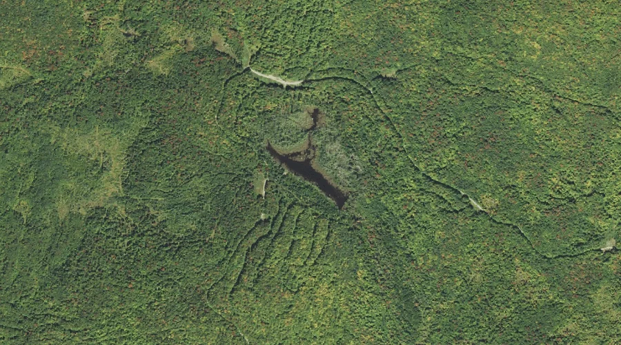
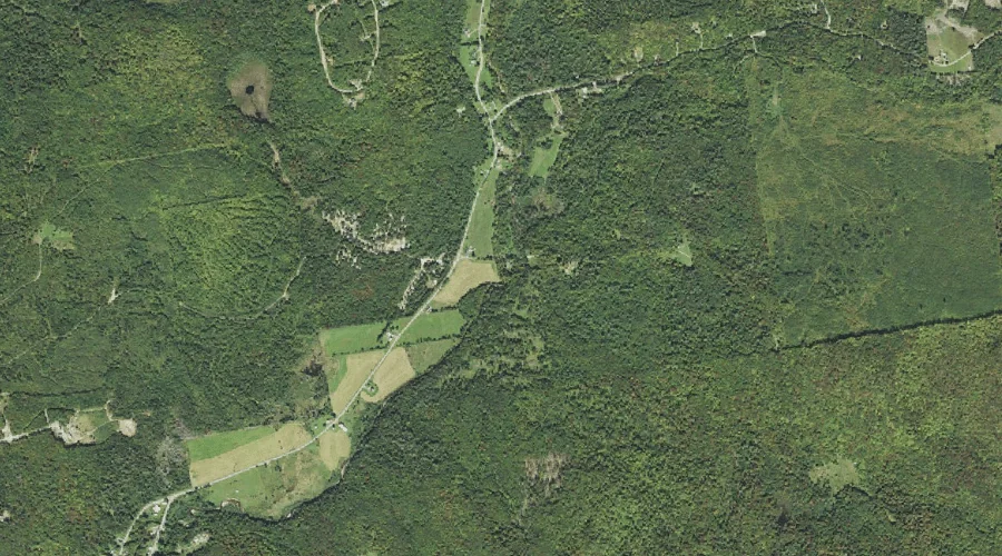
Sugarloaf Pond is a lake in Coos County, New Hampshire, located about 41.1 miles west-northwest of Chapman Inn in Bethel, Maine. It appears on the USGS Percy Peaks…
Cranberry Bog Notch is a mountain gap in Coos County, New Hampshire, located about 41.0 miles northwest of Chapman Inn in Bethel, Maine. It appears on the USGS…
Baldhead Mountain is a summit in Coos County, New Hampshire, located about 41.0 miles northwest of Chapman Inn in Bethel, Maine. It appears on the USGS Dixville Notch…
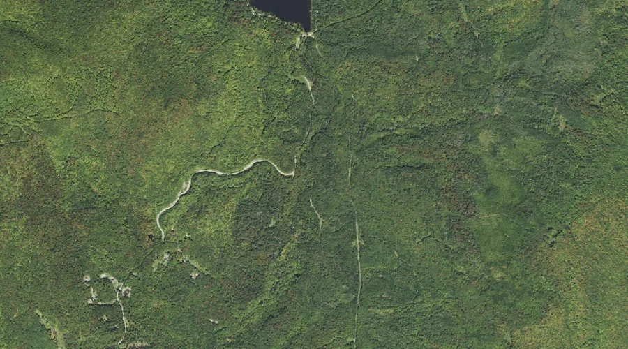
Sugarloaf Brook is a stream in Coos County, New Hampshire, located about 41.0 miles west-northwest of Chapman Inn in Bethel, Maine. It appears on the USGS Stratford topographic…
East Branch Bog Brook is a stream in Coos County, New Hampshire, located about 41.0 miles west-northwest of Chapman Inn in Bethel, Maine. It appears on the USGS…
Fitch Mountain is a summit in Coos County, New Hampshire, located about 41.1 miles northwest of Chapman Inn in Bethel, Maine. It appears on the USGS Bunnell Mountain…
Orne Mountain is a summit in Coos County, New Hampshire, located about 40.9 miles west of Chapman Inn in Bethel, Maine. It appears on the USGS Lancaster topographic…
Mount Tucker is a summit in Coos County, New Hampshire, located about 40.8 miles north-northwest of Chapman Inn in Bethel, Maine. It appears on the USGS Mount Pisgah…
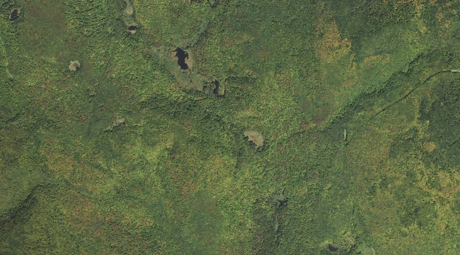
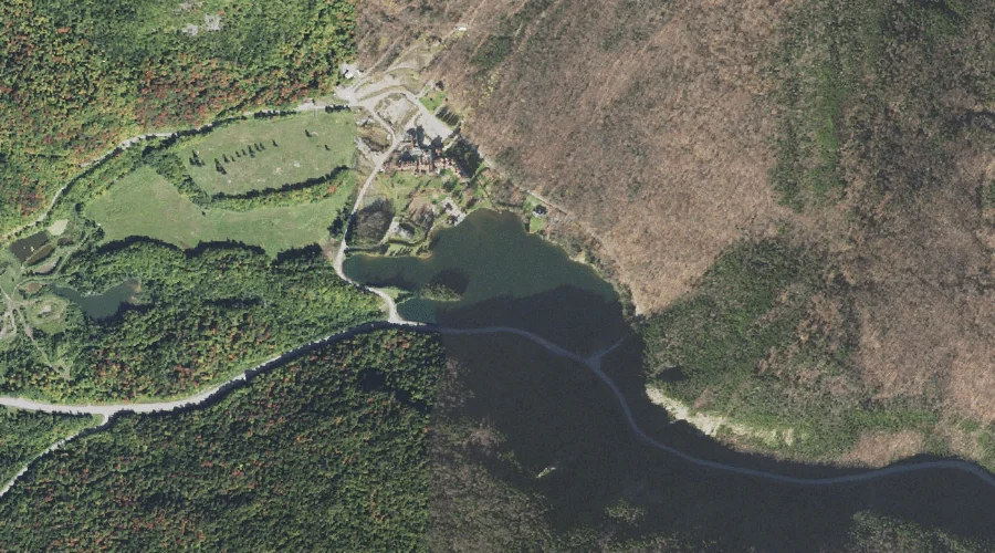
Lake Gloriette is a reservoir in Coos County, New Hampshire, located about 40.8 miles northwest of Chapman Inn in Bethel, Maine. It appears on the USGS Dixville Notch…
Sugarloaf is a summit in Coos County, New Hampshire, located about 40.8 miles northwest of Chapman Inn in Bethel, Maine. It appears on the USGS Percy Peaks topographic…