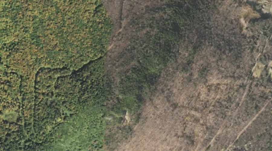
 Aerial imagery: USGS National Map (public domain)
Abeniki Mountain — Summits 41.4 Miles NW of Chapman Inn
Coos County, New Hampshire · USGS Diamond Pond Quadrangle · GNIS 865193
At 2,694 feet of elevation, Abeniki Mountain rises above Coos County, New Hampshire as a named summit on the USGS Diamond Pond topographic quadrangle — about 41.4 miles northwest of Chapman Inn in Bethel, Maine.
Wikidata short description: “mountain in New Hampshire, United States of America”
Landmark Profile
Classification & USGS reference
Within Coos County, New Hampshire, the U.S. Geological Survey lists Abeniki Mountain as a summit on the Diamond Pond topographic quadrangle (FIPS 33/007), under Feature ID 865193. Last revised by the Board on Geographic Names on 03/11/2022.
Coordinates & physical setting
Abeniki Mountain sits at 44.87720° N, 71.30705° W (DMS 44°52′38″ N, 71°18′25″ W).
Dimensions & elevation
- Summit elevation 2,694 ft / 821 m — a challenging elevation for day hikes.
Other summits in Coos County, New Hampshire
Coos County, NH contains 226 summits catalogued in the USGS Geographic Names Information System, counting Abeniki Mountain itself. The ones closest to Abeniki Mountain:
| Feature | USGS Quadrangle | Elevation | Distance |
|---|---|---|---|
| Keazer Mountain | Diamond Pond | — | 1.4 mi |
| Sanguinary Mountain | Diamond Pond | — | 1.4 mi |
| Cave Mountain | Diamond Pond | — | 2 mi |
| Van Dyck Mountain | Diamond Pond | — | 2.4 mi |
| Dixville Peak | Dixville Notch | — | 2.9 mi |
| Sugar Hill | Diamond Pond | — | 3.3 mi |
| Rice Mountain | Errol | — | 3.7 mi |
| Tumble Dick Mountain | Diamond Pond | — | 3.8 mi |
| Harvey Swell | Diamond Pond | — | 4 mi |
| Black Bluff Hill | Diamond Pond | — | 4.5 mi |
Features on the USGS Diamond Pond Quadrangle
The Diamond Pond 7.5-minute topographic quadrangle holds 37 catalogued natural features alongside Abeniki Mountain. A sampling nearest to this location:
| Feature | Type | County | Offset |
|---|---|---|---|
| Lake Abeniki | Lakes | Coos County, NH | 0.4 mi |
| Moose Pond (historical) | Lakes | Coos County, NH | 0.5 mi |
| Keazer Mountain | Summits | Coos County, NH | 1.4 mi |
| Sanguinary Mountain | Summits | Coos County, NH | 1.4 mi |
| Mud Pond | Reservoirs | Coos County, NH | 1.8 mi |
| Mud Pond Ridge | Ridges | Coos County, NH | 2 mi |
| Cave Mountain | Summits | Coos County, NH | 2 mi |
| Van Dyck Mountain | Summits | Coos County, NH | 2.4 mi |
| Sugar Hill Brook | Streams | Coos County, NH | 2.9 mi |
| East Branch Mohawk River | Streams | Coos County, NH | 3.1 mi |
Ranking & rarity
- Abeniki Mountain is #19 of 19 summits with recorded elevation in Coos County, New Hampshire.
- Among the 1280 summits catalogued within 80 km of Chapman Inn, Abeniki Mountain ranks #977 by proximity to the Inn (closer than 24%).
Visiting from Chapman Inn
Distance, bearing & drive time
Follow the compass bearing NW out of Bethel for 41.4 miles (northwest) and you reach Abeniki Mountain; at typical rural speeds the trip runs roughly 71 minutes.
Best time to visit
May through October; early-season hikes can still have lingering snow on north slopes. Being this far north (lat 44.877°), first snows typically arrive by mid-October and linger into early May — narrow the window accordingly. At 41.4 miles from the Inn, block the full day — sunrise start, late return, packed meals. Conditions at Abeniki Mountain track the nearby Lake Abeniki (0.4 mi away) closely — if that is runnable, so is this.
Nearest features to Abeniki Mountain
| Feature | Type | County | Distance |
|---|---|---|---|
| Lake Abeniki | Lakes | Coos County, NH | 0.4 mi |
| Moose Pond (historical) | Lakes | Coos County, NH | 0.5 mi |
| Lake Gloriette | Reservoirs | Coos County, NH | 0.6 mi |
| Farm Pond | Reservoirs | Coos County, NH | 0.8 mi |
| Lake Abeniki | Reservoirs | Coos County, NH | 0.9 mi |
Frequently Asked Questions
Where is Abeniki Mountain located?
Abeniki Mountain is in Coos County, New Hampshire, approximately 41.4 miles northwest of Chapman Inn in Bethel, Maine. It appears on the USGS Diamond Pond topographic quadrangle.
How far is Abeniki Mountain from Chapman Inn?
The drive runs about 71 minutes, 41.4 miles northwest (bearing NW) of the Inn.
What type of natural feature is Abeniki Mountain?
The U.S. Geological Survey classifies Abeniki Mountain as a summit, catalogued under GNIS Feature ID 865193 on the Diamond Pond quadrangle.
When is the best time to visit Abeniki Mountain?
May through October; early-season hikes can still have lingering snow on north slopes.
How tall is Abeniki Mountain?
Abeniki Mountain rises to 2,694 feet (821 metres) above sea level.
How many other summits are in Coos County, New Hampshire?
GNIS lists 225 other summits in Coos County, New Hampshire.
Wikidata: Q34630661.