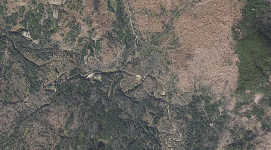
Horne Brook is a stream in Coos County, New Hampshire, located about 42.4 miles north-northwest of Chapman Inn in Bethel, Maine. It appears on the USGS Wilsons Mills…
South Branch Little Dead Diamond River is a stream in Coos County, New Hampshire, located about 42.4 miles north-northwest of Chapman Inn in Bethel, Maine. It appears on…
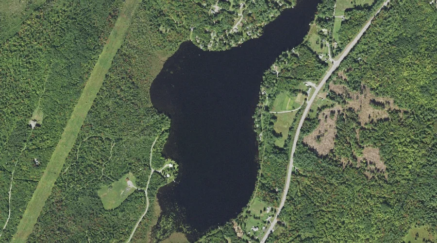
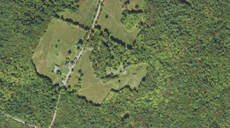
Burns Pond is a reservoir in Coos County, New Hampshire, located about 42.3 miles west of Chapman Inn in Bethel, Maine. It appears on the USGS Bethlehem topographic…
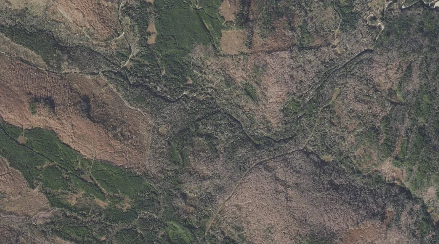
West Peak is a summit in Coos County, New Hampshire, located about 42.3 miles northwest of Chapman Inn in Bethel, Maine. It appears on the USGS Bunnell Mountain…
Howland Hill is a summit in Coos County, New Hampshire, located about 42.2 miles west of Chapman Inn in Bethel, Maine. It appears on the USGS Bethlehem topographic…
Crystal Mountain is a summit in Coos County, New Hampshire, located about 42.2 miles north-northwest of Chapman Inn in Bethel, Maine. It appears on the USGS Mount Pisgah…
Notch Mountain is a summit in Coos County, New Hampshire, located about 41.9 miles northwest of Chapman Inn in Bethel, Maine. It appears on the USGS Bunnell Mountain…
Castle Mountain is a summit in Coos County, New Hampshire, located about 41.9 miles northwest of Chapman Inn in Bethel, Maine. It appears on the USGS Bunnell Mountain…
Moose Pond (historical) is a lake in Coos County, New Hampshire, located about 41.9 miles northwest of Chapman Inn in Bethel, Maine. It appears on the USGS Diamond…
Gore Mountain is a summit in Coos County, New Hampshire, located about 41.9 miles northwest of Chapman Inn in Bethel, Maine. It appears on the USGS Bunnell Mountain…