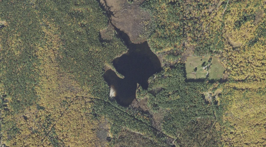
Cooks Pond is a lake in Carroll County, New Hampshire, located about 41.9 miles south-southwest of Chapman Inn in Bethel, Maine. It appears on the USGS Ossipee Lake…
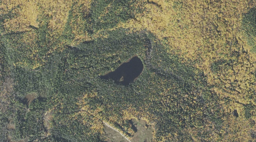
James Pond is a lake in Carroll County, New Hampshire, located about 41.7 miles southwest of Chapman Inn in Bethel, Maine. It appears on the USGS Mount Chocorua…
Whitin Brook is a stream in Carroll County, New Hampshire, located about 41.8 miles southwest of Chapman Inn in Bethel, Maine. It appears on the USGS Mount Chocorua…
Prospect Mountain is a summit in Carroll County, New Hampshire, located about 41.8 miles south-southwest of Chapman Inn in Bethel, Maine. It appears on the USGS Freedom topographic…
Overhang is a bench terrace in Carroll County, New Hampshire, located about 41.9 miles southwest of Chapman Inn in Bethel, Maine. It appears on the USGS Mount Chocorua…
Claybank Brook is a stream in Carroll County, New Hampshire, located about 41.9 miles southwest of Chapman Inn in Bethel, Maine. It appears on the USGS Mount Chocorua…
Blazo Mountain is a summit in Carroll County, New Hampshire, located about 41.6 miles south-southwest of Chapman Inn in Bethel, Maine. It appears on the USGS Freedom topographic…
Silver Lake is a reservoir in Carroll County, New Hampshire, located about 41.7 miles south-southwest of Chapman Inn in Bethel, Maine. It appears on the USGS Ossipee Lake…
Deer Hill is a summit in Carroll County, New Hampshire, located about 41.5 miles south-southwest of Chapman Inn in Bethel, Maine. It appears on the USGS Silver Lake…
Watson Hill is a summit in Carroll County, New Hampshire, located about 41.5 miles south-southwest of Chapman Inn in Bethel, Maine. It appears on the USGS Freedom topographic…