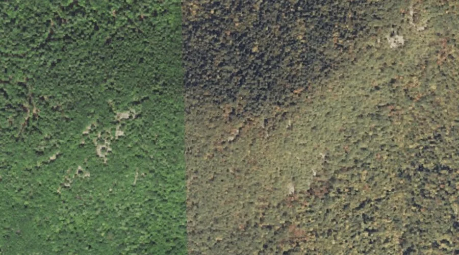
 Aerial imagery: USGS National Map (public domain)
Prospect Mountain — Summits 41.8 Miles SSW of Chapman Inn
Carroll County, New Hampshire · USGS Freedom Quadrangle · GNIS 869380
Catalogued on the USGS Freedom quadrangle in Carroll County, New Hampshire, Prospect Mountain — a summit — lies 41.8 miles south-southwest of Chapman Inn.
Wikidata short description: “mountain in the United States of America”
Landmark Profile
Classification & USGS reference
Catalogued under GNIS Feature ID 869380, Prospect Mountain is recorded as a summit on the USGS Freedom quadrangle in Carroll County, New Hampshire (FIPS 33/003). Last revised by the Board on Geographic Names on 08/31/2022.
Coordinates & physical setting
Prospect Mountain sits at 43.81895° N, 71.00257° W (DMS 43°49′08″ N, 71°00′09″ W).
Other summits in Carroll County, New Hampshire
Carroll County, NH contains 127 summits catalogued in the USGS Geographic Names Information System, counting Prospect Mountain itself. The ones closest to Prospect Mountain:
| Feature | USGS Quadrangle | Elevation | Distance |
|---|---|---|---|
| Durgin Hill | Freedom | — | 1.6 mi |
| Watson Hill | Freedom | — | 2.5 mi |
| Youngs Hill | Freedom | — | 3 mi |
| Woods Mountain | Freedom | — | 3.2 mi |
| Cragged Mountain | Freedom | — | 3.2 mi |
| Green Mountain | Freedom | — | 3.9 mi |
| Hanson Top | Freedom | — | 4.1 mi |
| Toll Hill | Freedom | — | 4.8 mi |
| Davis Top | Freedom | — | 5 mi |
| Stewart Hill | Conway | — | 5 mi |
Features on the USGS Freedom Quadrangle
The Freedom 7.5-minute topographic quadrangle holds 43 catalogued natural features alongside Prospect Mountain. A sampling nearest to this location:
| Feature | Type | County | Offset |
|---|---|---|---|
| Bennett Brook | Streams | Carroll County, NH | 1.4 mi |
| Loon Lake | Lakes | Carroll County, NH | 1.5 mi |
| Durgin Hill | Summits | Carroll County, NH | 1.6 mi |
| Moulton Brook | Streams | Carroll County, NH | 1.7 mi |
| Nason Brook | Streams | Carroll County, NH | 1.7 mi |
| Cold Brook | Streams | Carroll County, NH | 1.7 mi |
| Mastin Brook | Streams | Carroll County, NH | 2 mi |
| Flanders Brook | Streams | Carroll County, NH | 2.3 mi |
| Hodgedon Brook | Streams | Carroll County, NH | 2.4 mi |
| Watson Hill | Summits | Carroll County, NH | 2.5 mi |
Visiting from Chapman Inn
Distance, bearing & drive time
A 72-minute drive along back roads separates the front door of Chapman Inn from Prospect Mountain — 41.8 miles south-southwest as the crow flies, on compass bearing SSW.
Best time to visit
Accessible May through November in most years. At this latitude (43.819°), the shoulder seasons are workable — April and November can be comfortable on mild years. At 41.8 miles from the Inn, block the full day — sunrise start, late return, packed meals. Conditions at Prospect Mountain track the nearby Mine Pond lake (1.3 mi away) closely — if that is runnable, so is this.
Nearest features to Prospect Mountain
| Feature | Type | County | Distance |
|---|---|---|---|
| Mine Pond | Lakes | Oxford County, ME | 1.3 mi |
| Bennett Brook | Streams | Carroll County, NH | 1.4 mi |
| Hubbard Pond | Lakes | Oxford County, ME | 1.5 mi |
| Loon Lake | Lakes | Carroll County, NH | 1.5 mi |
| Durgin Hill | Summits | Carroll County, NH | 1.6 mi |
Frequently Asked Questions
Where is Prospect Mountain located?
Prospect Mountain is in Carroll County, New Hampshire, approximately 41.8 miles south-southwest of Chapman Inn in Bethel, Maine. It appears on the USGS Freedom topographic quadrangle.
How far is Prospect Mountain from Chapman Inn?
The drive runs about 72 minutes, 41.8 miles south-southwest (bearing SSW) of the Inn.
What type of natural feature is Prospect Mountain?
The U.S. Geological Survey classifies Prospect Mountain as a summit, catalogued under GNIS Feature ID 869380 on the Freedom quadrangle.
When is the best time to visit Prospect Mountain?
Accessible May through November in most years.
How many other summits are in Carroll County, New Hampshire?
GNIS lists 126 other summits in Carroll County, New Hampshire.
Wikidata: Q34899801.