Deer River is a stream in Carroll County, New Hampshire, located about 40.8 miles south-southwest of Chapman Inn in Bethel, Maine. It appears on the USGS Silver Lake…
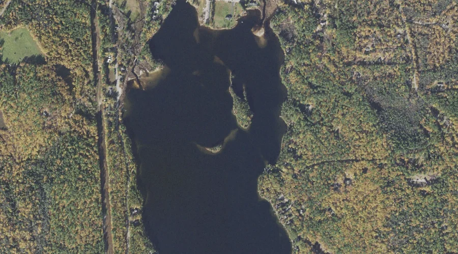
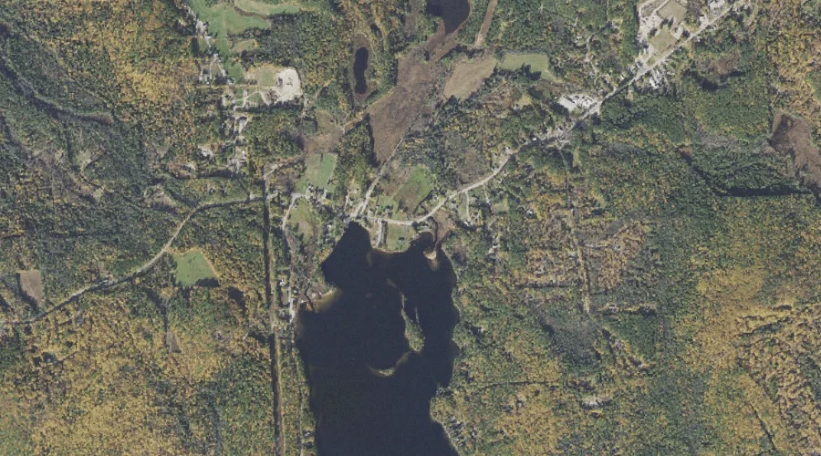
Big Island is a island in Carroll County, New Hampshire, located about 40.8 miles south-southwest of Chapman Inn in Bethel, Maine. It appears on the USGS Silver Lake…
Goe Hill is a summit in Carroll County, New Hampshire, located about 40.8 miles south-southwest of Chapman Inn in Bethel, Maine. It appears on the USGS Freedom topographic…
Washington Hill is a ridge in Carroll County, New Hampshire, located about 40.8 miles south-southwest of Chapman Inn in Bethel, Maine. It appears on the USGS Silver Lake…
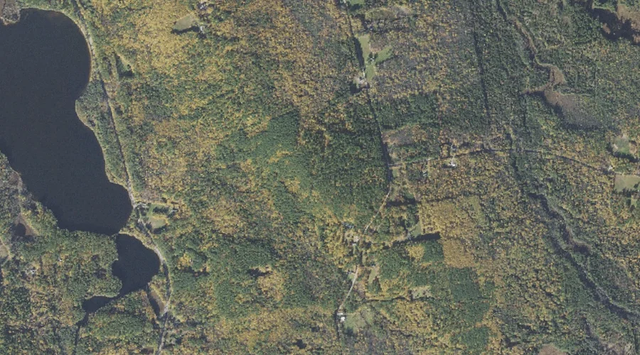
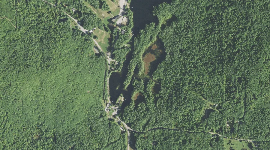
Lonely Lake is a lake in Carroll County, New Hampshire, located about 40.9 miles southwest of Chapman Inn in Bethel, Maine. It appears on the USGS Silver Lake…
Forrest Brook is a stream in Carroll County, New Hampshire, located about 40.5 miles south-southwest of Chapman Inn in Bethel, Maine. It appears on the USGS Silver Lake…
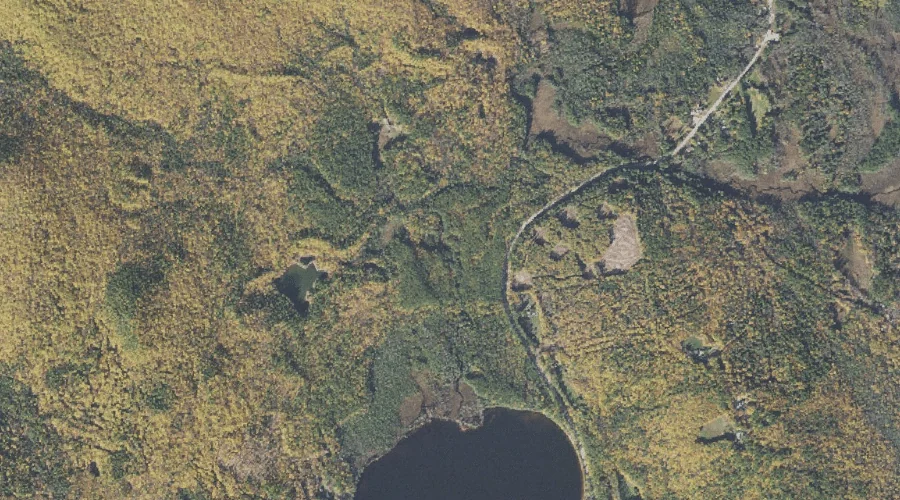
Stony Brook is a stream in Carroll County, New Hampshire, located about 40.6 miles south-southwest of Chapman Inn in Bethel, Maine. It appears on the USGS Silver Lake…
Durgin Hill is a summit in Carroll County, New Hampshire, located about 40.3 miles south-southwest of Chapman Inn in Bethel, Maine. It appears on the USGS Freedom topographic…
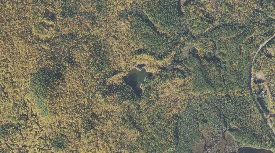
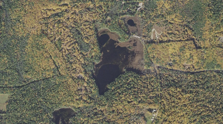
Durgin Pond is a lake in Carroll County, New Hampshire, located about 40.4 miles south-southwest of Chapman Inn in Bethel, Maine. It appears on the USGS Silver Lake…
Purity Lake is a reservoir in Carroll County, New Hampshire, located about 40.2 miles south-southwest of Chapman Inn in Bethel, Maine. It appears on the USGS Freedom topographic…