 Aerial imagery: USGS National Map (public domain)
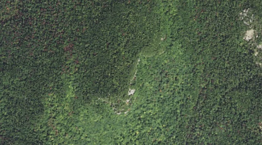
Overhang — Benches 41.9 Miles SW of Chapman Inn
Carroll County, New Hampshire · USGS Mount Chocorua Quadrangle · GNIS 872445
41.9 miles southwest of Chapman Inn, on the USGS Mount Chocorua topographic quadrangle, Overhang is a bench terrace recorded in Carroll County, New Hampshire by the federal Geographic Names Information System.
Landmark Profile
Classification & USGS reference
The USGS Mount Chocorua 7.5-minute topographic quadrangle places Overhang in Carroll County, New Hampshire (FIPS 33/003), classified as a bench terrace in the federal GNIS (Feature ID 872445). Catalogued in GNIS since 08/27/1980.
Coordinates & physical setting
Overhang sits at 43.94590° N, 71.34063° W (DMS 43°56′45″ N, 71°20′26″ W).
Other benches in Carroll County, New Hampshire
Carroll County, NH contains 20 benches catalogued in the USGS Geographic Names Information System, counting Overhang itself. The ones closest to Overhang:
| Feature | USGS Quadrangle | Distance |
|---|---|---|
| Square Ledge | Mount Chocorua | 1.3 mi |
| Carter Ledge | Mount Chocorua | 4.3 mi |
| Nickerson Ledge | Silver Lake | 4.9 mi |
| Bragdon Ledge | Silver Lake | 5 mi |
| Lunt Ledge | Tamworth | 6 mi |
| White Ledge | Silver Lake | 6.4 mi |
| Bragg Ledge | Center Sandwich | 7.1 mi |
| Woodchuck Ledge | Silver Lake | 7.3 mi |
| Whitton Ledge | Silver Lake | 7.7 mi |
| Eagle Ledge | Silver Lake | 7.8 mi |
Features on the USGS Mount Chocorua Quadrangle
The Mount Chocorua 7.5-minute topographic quadrangle holds 39 catalogued natural features alongside Overhang. A sampling nearest to this location:
| Feature | Type | County | Offset |
|---|---|---|---|
| Whitin Ridge | Ridges | Carroll County, NH | 0.5 mi |
| Mount Paugus | Summits | Carroll County, NH | 0.7 mi |
| Square Ledge | Benches | Carroll County, NH | 1.3 mi |
| Hibbard Mountain | Summits | Grafton County, NH | 1.6 mi |
| Mount Mexico | Summits | Carroll County, NH | 1.7 mi |
| Kelly Brook | Streams | Carroll County, NH | 2.2 mi |
| Spring Brook | Streams | Grafton County, NH | 2.2 mi |
| Hedgehog Mountain | Summits | Carroll County, NH | 2.4 mi |
| Whitin Brook | Streams | Carroll County, NH | 2.4 mi |
| Claybank Brook | Streams | Carroll County, NH | 2.7 mi |
Visiting from Chapman Inn
Distance, bearing & drive time
Chapman Inn sits 41.9 miles southwest (bearing SW) of Overhang. At moderate back-road speeds the drive runs about 72 minutes — comfortably inside a half-day outing window after breakfast.
Best time to visit
Generally accessible May through October; winter access depends on snow cover. At this latitude (43.946°), the shoulder seasons are workable — April and November can be comfortable on mild years. At 41.9 miles from the Inn, block the full day — sunrise start, late return, packed meals. Conditions at Overhang track the nearby Whitin Ridge (0.5 mi away) closely — if that is runnable, so is this.
Nearest features to Overhang
| Feature | Type | County | Distance |
|---|---|---|---|
| Whitin Ridge | Ridges | Carroll County, NH | 0.5 mi |
| Mount Paugus | Summits | Carroll County, NH | 0.7 mi |
| Square Ledge | Benches | Carroll County, NH | 1.3 mi |
| Hibbard Mountain | Summits | Grafton County, NH | 1.6 mi |
| Mount Mexico | Summits | Carroll County, NH | 1.7 mi |
Frequently Asked Questions
Where is Overhang located?
Overhang is in Carroll County, New Hampshire, approximately 41.9 miles southwest of Chapman Inn in Bethel, Maine. It appears on the USGS Mount Chocorua topographic quadrangle.
How far is Overhang from Chapman Inn?
The drive runs about 72 minutes, 41.9 miles southwest (bearing SW) of the Inn.
What type of natural feature is Overhang?
The U.S. Geological Survey classifies Overhang as a bench terrace, catalogued under GNIS Feature ID 872445 on the Mount Chocorua quadrangle.
When is the best time to visit Overhang?
Generally accessible May through October; winter access depends on snow cover.
How many other benches are in Carroll County, New Hampshire?
GNIS lists 19 other benches in Carroll County, New Hampshire.
Wikidata: Q49173008.