Bennett Brook is a stream in Carroll County, New Hampshire, located about 42.9 miles south-southwest of Chapman Inn in Bethel, Maine. It appears on the USGS Freedom topographic…
Shawtown Brook is a stream in Carroll County, New Hampshire, located about 42.9 miles south-southwest of Chapman Inn in Bethel, Maine. It appears on the USGS Freedom topographic…
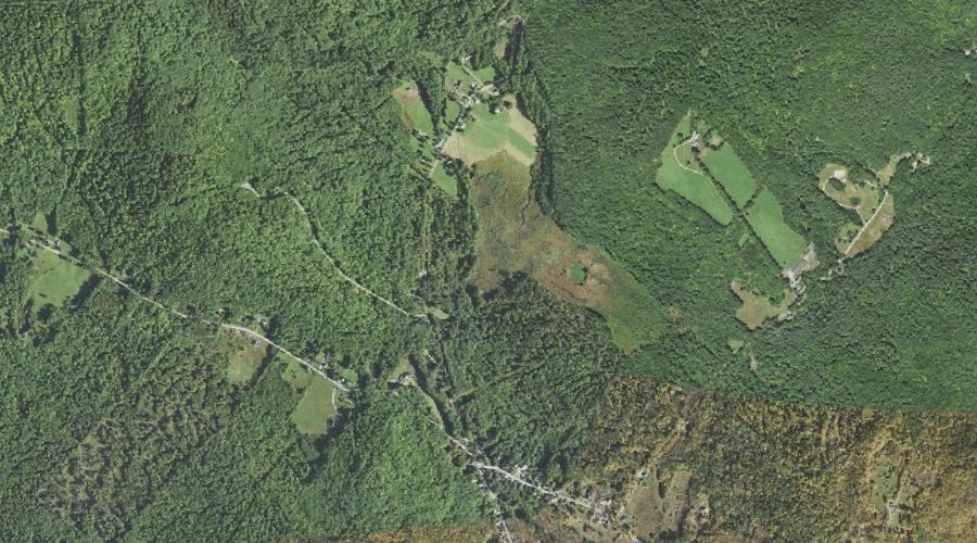
Mount Mexico is a summit in Carroll County, New Hampshire, located about 42.7 miles southwest of Chapman Inn in Bethel, Maine. It appears on the USGS Mount Chocorua…
Durrell Brook is a stream in Carroll County, New Hampshire, located about 42.5 miles southwest of Chapman Inn in Bethel, Maine. It appears on the USGS Mount Chocorua…
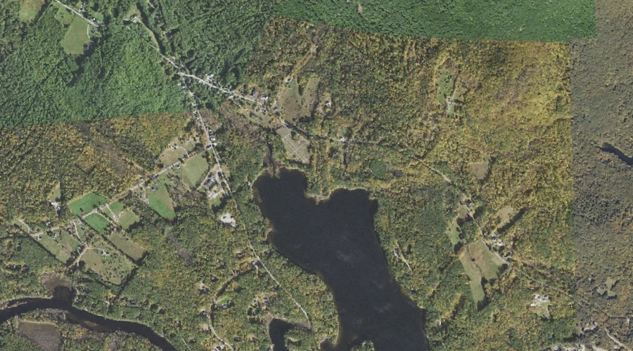
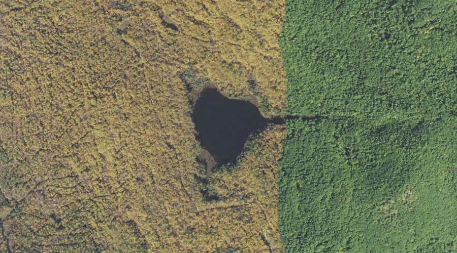
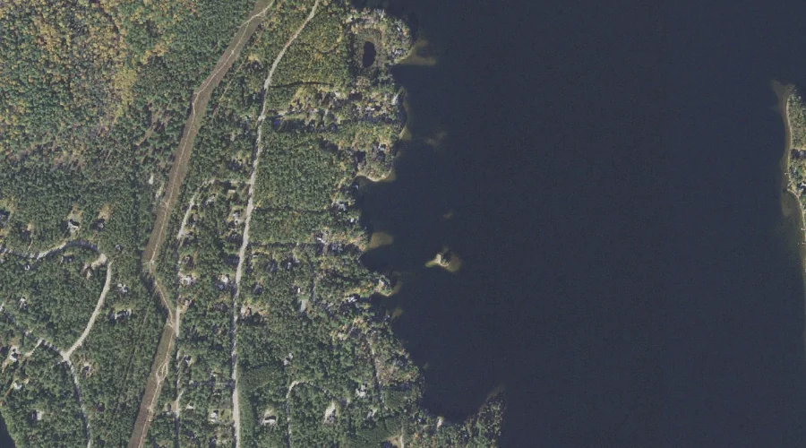
Trout Pond is a lake in Carroll County, New Hampshire, located about 42.5 miles south-southwest of Chapman Inn in Bethel, Maine. It appears on the USGS Ossipee Lake…
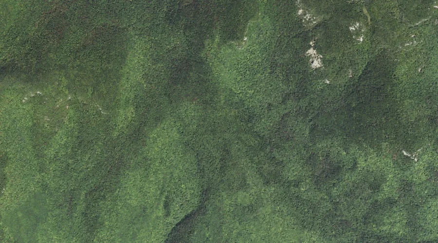
Whitin Ridge is a ridge in Carroll County, New Hampshire, located about 42.4 miles southwest of Chapman Inn in Bethel, Maine. It appears on the USGS Mount Chocorua…
Deer Brook is a stream in Carroll County, New Hampshire, located about 42.1 miles south-southwest of Chapman Inn in Bethel, Maine. It appears on the USGS Ossipee Lake…
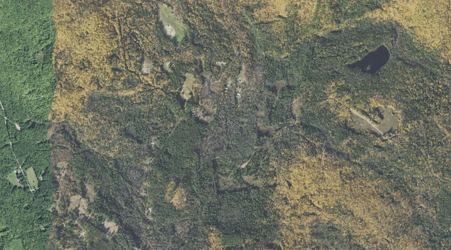
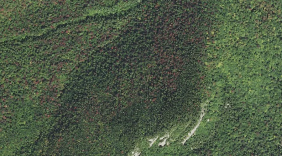
Square Ledge is a bench terrace in Carroll County, New Hampshire, located about 42.2 miles southwest of Chapman Inn in Bethel, Maine. It appears on the USGS Mount…
Moulton Brook is a stream in Carroll County, New Hampshire, located about 42.2 miles south-southwest of Chapman Inn in Bethel, Maine. It appears on the USGS Freedom topographic…
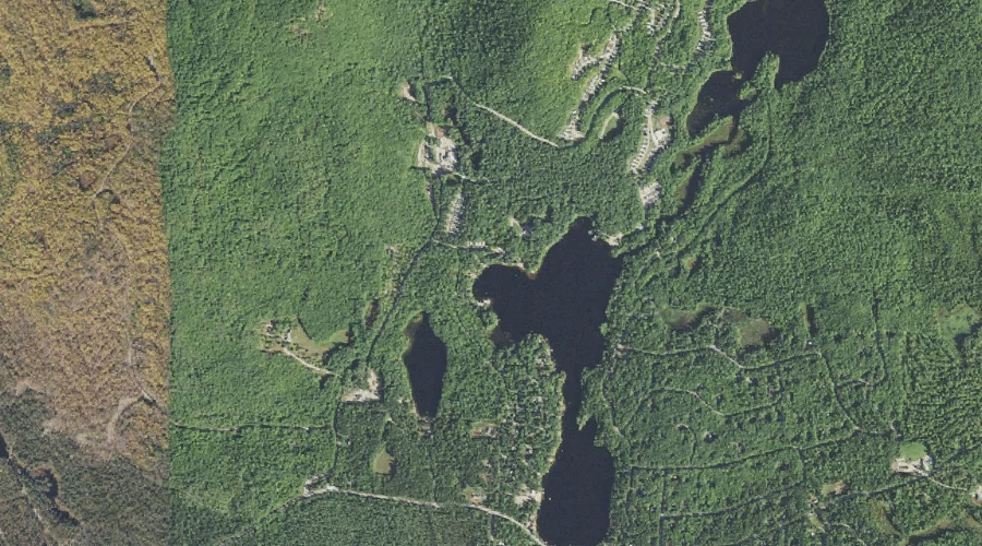
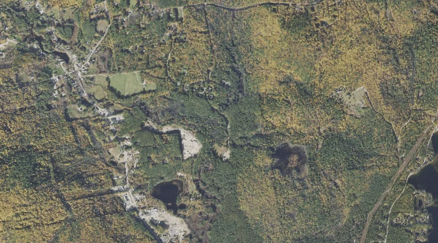
Loon Island is a island in Carroll County, New Hampshire, located about 42.2 miles south-southwest of Chapman Inn in Bethel, Maine. It appears on the USGS Ossipee Lake…