 Aerial imagery: USGS National Map (public domain)
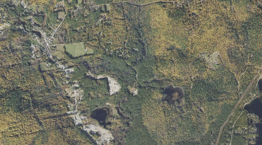
Deer Brook — Streams 42.1 Miles SSW of Chapman Inn
Carroll County, New Hampshire · USGS Ossipee Lake Quadrangle · GNIS 871775
Within Carroll County, New Hampshire, on the USGS Ossipee Lake quadrangle, the stream known as Deer Brook sits 42.1 miles south-southwest of Chapman Inn.
Wikidata short description: “river in Carroll County, New Hampshire, United States of America”
Landmark Profile
Classification & USGS reference
Within Carroll County, New Hampshire, the U.S. Geological Survey lists Deer Brook as a stream on the Ossipee Lake topographic quadrangle (FIPS 33/003), under Feature ID 871775. Catalogued in GNIS since 08/27/1980.
Coordinates & physical setting
Deer Brook sits at 43.87341° N, 71.20424° W (DMS 43°52′24″ N, 71°12′15″ W).
As a linear feature its source lies near 43.89257° N, 71.21174° W (DMS 43°53′33″ N, 71°12′42″ W) — useful for anglers and paddlers tracing the upstream end.
Other streams in Carroll County, New Hampshire
Carroll County, NH contains 152 streams catalogued in the USGS Geographic Names Information System, counting Deer Brook itself. The ones closest to Deer Brook:
| Feature | USGS Quadrangle | Distance |
|---|---|---|
| Deer River | Silver Lake | 1.5 mi |
| Forrest Brook | Silver Lake | 1.9 mi |
| Ham Brook | Silver Lake | 2.2 mi |
| Salter Brook | Silver Lake | 2.5 mi |
| Frost Brook | Silver Lake | 2.7 mi |
| Stony Brook | Silver Lake | 3.4 mi |
| Mill Brook | Ossipee Lake | 3.5 mi |
| Bryant Brook | Tamworth | 3.5 mi |
| Blasde Brook | Tamworth | 3.5 mi |
| Stony Brook | Ossipee Lake | 3.5 mi |
Features on the USGS Ossipee Lake Quadrangle
The Ossipee Lake 7.5-minute topographic quadrangle holds 38 catalogued natural features alongside Deer Brook. A sampling nearest to this location:
| Feature | Type | County | Offset |
|---|---|---|---|
| Ryan Hill | Summits | Carroll County, NH | 1.1 mi |
| Moores Pond | Lakes | Carroll County, NH | 1.1 mi |
| Loon Island | Islands | Carroll County, NH | 1.4 mi |
| Page Hill | Summits | Carroll County, NH | 1.6 mi |
| Silver Lake | Reservoirs | Carroll County, NH | 1.7 mi |
| White Lake | Lakes | Carroll County, NH | 2.5 mi |
| Lily Pond | Lakes | Carroll County, NH | 2.7 mi |
| Cooks Pond | Lakes | Carroll County, NH | 2.9 mi |
| Jackman Ridge | Ridges | Carroll County, NH | 3.2 mi |
| Mill Brook | Streams | Carroll County, NH | 3.5 mi |
Visiting from Chapman Inn
Distance, bearing & drive time
Follow the compass bearing SSW out of Bethel for 42.1 miles (south-southwest) and you reach Deer Brook; at typical rural speeds the trip runs roughly 72 minutes.
Best time to visit
Best observed in late spring and early summer when flow is strong and banks are visible. At this latitude (43.873°), the shoulder seasons are workable — April and November can be comfortable on mild years. At 42.1 miles from the Inn, block the full day — sunrise start, late return, packed meals. Conditions at Deer Brook track the nearby Deer Hill summit (0.7 mi away) closely — if that is runnable, so is this.
Nearest features to Deer Brook
| Feature | Type | County | Distance |
|---|---|---|---|
| Deer Hill | Summits | Carroll County, NH | 0.7 mi |
| Chocorua River Reservoir | Reservoirs | Belknap County, NH | 0.7 mi |
| Ryan Hill | Summits | Carroll County, NH | 1.1 mi |
| Moores Pond | Lakes | Carroll County, NH | 1.1 mi |
| Mailly Pond | Lakes | Carroll County, NH | 1.1 mi |
Frequently Asked Questions
Where is Deer Brook located?
Deer Brook is in Carroll County, New Hampshire, approximately 42.1 miles south-southwest of Chapman Inn in Bethel, Maine. It appears on the USGS Ossipee Lake topographic quadrangle.
How far is Deer Brook from Chapman Inn?
The drive runs about 72 minutes, 42.1 miles south-southwest (bearing SSW) of the Inn.
What type of natural feature is Deer Brook?
The U.S. Geological Survey classifies Deer Brook as a stream, catalogued under GNIS Feature ID 871775 on the Ossipee Lake quadrangle.
When is the best time to visit Deer Brook?
Best observed in late spring and early summer when flow is strong and banks are visible.
How many other streams are in Carroll County, New Hampshire?
GNIS lists 151 other streams in Carroll County, New Hampshire.
Wikidata: Q34723539.