 Aerial imagery: USGS National Map (public domain)
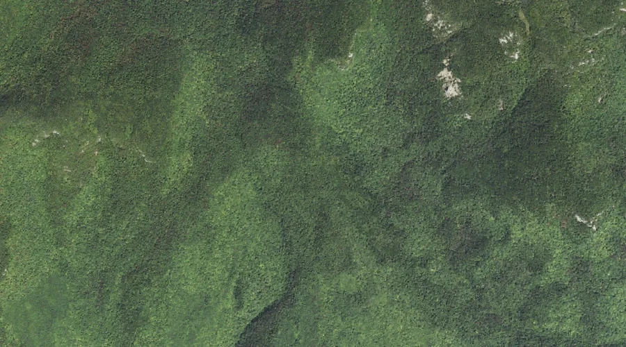
Whitin Ridge — Ridges 42.4 Miles SW of Chapman Inn
Carroll County, New Hampshire · USGS Mount Chocorua Quadrangle · GNIS 872928
42.4 miles southwest of Chapman Inn, on the USGS Mount Chocorua topographic quadrangle, Whitin Ridge is a ridge recorded in Carroll County, New Hampshire by the federal Geographic Names Information System.
Landmark Profile
Classification & USGS reference
The USGS Mount Chocorua 7.5-minute topographic quadrangle places Whitin Ridge in Carroll County, New Hampshire (FIPS 33/003), classified as a ridge in the federal GNIS (Feature ID 872928). Last revised by the Board on Geographic Names on 11/18/2020.
Coordinates & physical setting
Whitin Ridge sits at 43.93841° N, 71.34361° W (DMS 43°56′18″ N, 71°20′37″ W).
Other ridges in Carroll County, New Hampshire
Carroll County, NH contains 12 ridges catalogued in the USGS Geographic Names Information System, counting Whitin Ridge itself. The ones closest to Whitin Ridge:
| Feature | USGS Quadrangle | Elevation | Distance |
|---|---|---|---|
| Farlow Ridge | Mount Chocorua | — | 3.6 mi |
| Three Sisters | Mount Chocorua | — | 3.9 mi |
| Maple Ridge | Center Sandwich | — | 6.9 mi |
| Washington Hill | Silver Lake | — | 6.9 mi |
| Red Ridge | North Conway West | — | 9.6 mi |
| Jackman Ridge | Ossipee Lake | — | 11.5 mi |
| Rockhouse Mountain | Conway | — | 12.1 mi |
| Lyman Mountain | Conway | — | 12.5 mi |
| Foss Mountain | Conway | — | 16 mi |
| Robbins Ridge | Chatham | — | 21.1 mi |
Features on the USGS Mount Chocorua Quadrangle
The Mount Chocorua 7.5-minute topographic quadrangle holds 39 catalogued natural features alongside Whitin Ridge. A sampling nearest to this location:
| Feature | Type | County | Offset |
|---|---|---|---|
| Overhang | Benches | Carroll County, NH | 0.5 mi |
| Mount Paugus | Summits | Carroll County, NH | 1.2 mi |
| Mount Mexico | Summits | Carroll County, NH | 1.3 mi |
| Hibbard Mountain | Summits | Grafton County, NH | 1.4 mi |
| Square Ledge | Benches | Carroll County, NH | 1.5 mi |
| Kelly Brook | Streams | Carroll County, NH | 1.6 mi |
| Spring Brook | Streams | Grafton County, NH | 1.7 mi |
| Birch Intervale | Basins | Carroll County, NH | 2.2 mi |
| Whitin Brook | Streams | Carroll County, NH | 2.3 mi |
| Claybank Brook | Streams | Carroll County, NH | 2.6 mi |
Visiting from Chapman Inn
Distance, bearing & drive time
Chapman Inn sits 42.4 miles southwest (bearing SW) of Whitin Ridge. At moderate back-road speeds the drive runs about 73 minutes — comfortably inside a half-day outing window after breakfast.
Best time to visit
Accessible May through November in most years. At this latitude (43.938°), the shoulder seasons are workable — April and November can be comfortable on mild years. At 42.4 miles from the Inn, block the full day — sunrise start, late return, packed meals. Conditions at Whitin Ridge track the nearby Overhang bench terrace (0.5 mi away) closely — if that is runnable, so is this.
Nearest features to Whitin Ridge
| Feature | Type | County | Distance |
|---|---|---|---|
| Overhang | Benches | Carroll County, NH | 0.5 mi |
| Mount Paugus | Summits | Carroll County, NH | 1.2 mi |
| Mount Mexico | Summits | Carroll County, NH | 1.3 mi |
| Hibbard Mountain | Summits | Grafton County, NH | 1.4 mi |
| Square Ledge | Benches | Carroll County, NH | 1.5 mi |
Frequently Asked Questions
Where is Whitin Ridge located?
Whitin Ridge is in Carroll County, New Hampshire, approximately 42.4 miles southwest of Chapman Inn in Bethel, Maine. It appears on the USGS Mount Chocorua topographic quadrangle.
How far is Whitin Ridge from Chapman Inn?
The drive runs about 73 minutes, 42.4 miles southwest (bearing SW) of the Inn.
What type of natural feature is Whitin Ridge?
The U.S. Geological Survey classifies Whitin Ridge as a ridge, catalogued under GNIS Feature ID 872928 on the Mount Chocorua quadrangle.
When is the best time to visit Whitin Ridge?
Accessible May through November in most years.
How many other ridges are in Carroll County, New Hampshire?
GNIS lists 11 other ridges in Carroll County, New Hampshire.