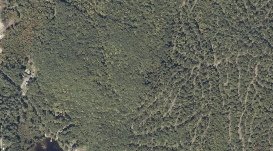
Gauthier Hill is a summit in Androscoggin County, Maine, located about 28.2 miles east-southeast of Chapman Inn in Bethel, Maine. It appears on the USGS Lake Auburn West…
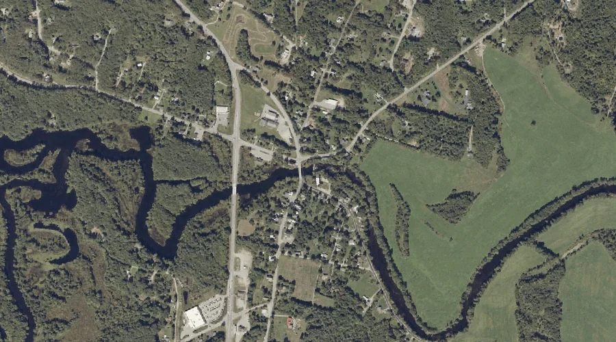
Little Androscoggin River Reservoir is a reservoir in Androscoggin County, Maine, located about 28.3 miles southeast of Chapman Inn in Bethel, Maine. It appears on the USGS Mechanic…
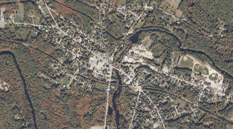
Nezinscot River Reservoir (historical) is a reservoir in Androscoggin County, Maine, located about 28.3 miles east-southeast of Chapman Inn in Bethel, Maine. It appears on the USGS Buckfield…
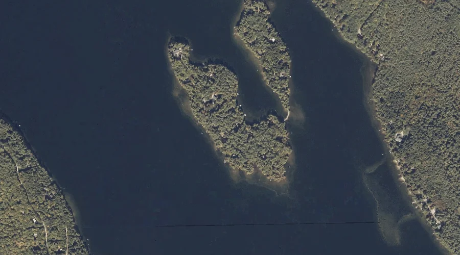
Megquier Island is a island in Androscoggin County, Maine, located about 28.1 miles south-southeast of Chapman Inn in Bethel, Maine. It appears on the USGS Mechanic Falls topographic…
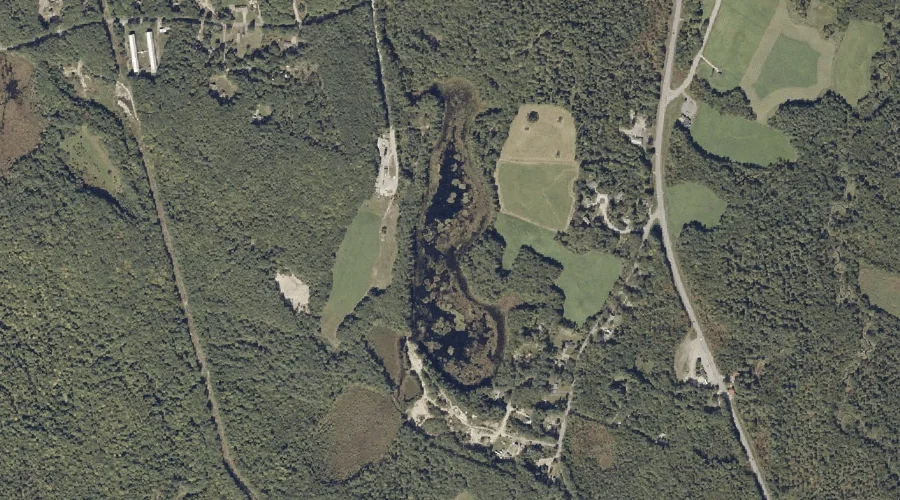
Lily Pond is a lake in Androscoggin County, Maine, located about 28.2 miles east-southeast of Chapman Inn in Bethel, Maine. It appears on the USGS Lake Auburn West…
General Turner Hill is a summit in Androscoggin County, Maine, located about 27.8 miles east-southeast of Chapman Inn in Bethel, Maine. It appears on the USGS Buckfield topographic…
Pigeon Hill is a summit in Androscoggin County, Maine, located about 27.9 miles southeast of Chapman Inn in Bethel, Maine. It appears on the USGS Mechanic Falls topographic…
Pottle Hill is a summit in Androscoggin County, Maine, located about 27.9 miles southeast of Chapman Inn in Bethel, Maine. It appears on the USGS Lake Auburn West…
Black Island is a island in Androscoggin County, Maine, located about 28.0 miles south-southeast of Chapman Inn in Bethel, Maine. It appears on the USGS Mechanic Falls topographic…
Hersey Hill is a summit in Androscoggin County, Maine, located about 27.7 miles east-southeast of Chapman Inn in Bethel, Maine. It appears on the USGS Lake Auburn West…