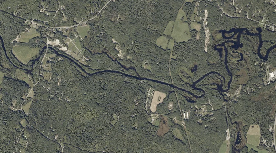
Martin Stream is a stream in Androscoggin County, Maine, located about 27.1 miles east-southeast of Chapman Inn in Bethel, Maine. It appears on the USGS Buckfield topographic quadrangle.
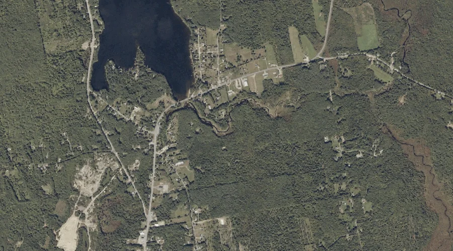
Crystal Pond is a lake in Androscoggin County, Maine, located about 27.1 miles east-southeast of Chapman Inn in Bethel, Maine. It appears on the USGS Buckfield topographic quadrangle.
Ford Brook is a stream in Androscoggin County, Maine, located about 27.1 miles east of Chapman Inn in Bethel, Maine. It appears on the USGS Livermore Falls topographic…
Pickerel Pond is a lake in Androscoggin County, Maine, located about 27.2 miles east-southeast of Chapman Inn in Bethel, Maine. It appears on the USGS Buckfield topographic quadrangle.
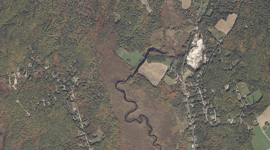
Hackett Hill is a summit in Androscoggin County, Maine, located about 26.9 miles east of Chapman Inn in Bethel, Maine. It appears on the USGS Livermore Falls topographic…
Mount Hunger is a summit in Androscoggin County, Maine, located about 26.9 miles southeast of Chapman Inn in Bethel, Maine. It appears on the USGS Oxford topographic quadrangle.
Lively Brook is a stream in Androscoggin County, Maine, located about 26.9 miles east-southeast of Chapman Inn in Bethel, Maine. It appears on the USGS Buckfield topographic quadrangle.
Brettuns Pond is a reservoir in Androscoggin County, Maine, located about 26.6 miles east of Chapman Inn in Bethel, Maine. It appears on the USGS Livermore Falls topographic…
Hawkes Pond is a lake in Androscoggin County, Maine, located about 26.7 miles southeast of Chapman Inn in Bethel, Maine. It appears on the USGS Oxford topographic quadrangle.
Gardner Brook is a stream in Androscoggin County, Maine, located about 26.7 miles southeast of Chapman Inn in Bethel, Maine. It appears on the USGS Oxford topographic quadrangle.