Hersey Hill is a summit in Androscoggin County, Maine, located about 27.7 miles east-southeast of Chapman Inn in Bethel, Maine. It appears on the USGS Lake Auburn West…
House Brook is a stream in Androscoggin County, Maine, located about 27.7 miles east-southeast of Chapman Inn in Bethel, Maine. It appears on the USGS Turner Center topographic…
Mount Prospect is a summit in Androscoggin County, Maine, located about 27.8 miles southeast of Chapman Inn in Bethel, Maine. It appears on the USGS Lake Auburn West…
Beals Brook is a stream in Androscoggin County, Maine, located about 27.8 miles east of Chapman Inn in Bethel, Maine. It appears on the USGS Livermore Falls topographic…
The Plains is a natural feature in Androscoggin County, Maine, located about 27.7 miles east-southeast of Chapman Inn in Bethel, Maine. It appears on the USGS Turner Center…
Torry Hill is a summit in Androscoggin County, Maine, located about 27.7 miles east of Chapman Inn in Bethel, Maine. It appears on the USGS Turner Center topographic…
Bradbury Hill is a summit in Androscoggin County, Maine, located about 27.4 miles southeast of Chapman Inn in Bethel, Maine. It appears on the USGS Lake Auburn West…
Butter Hill is a summit in Androscoggin County, Maine, located about 27.4 miles east of Chapman Inn in Bethel, Maine. It appears on the USGS Turner Center topographic…
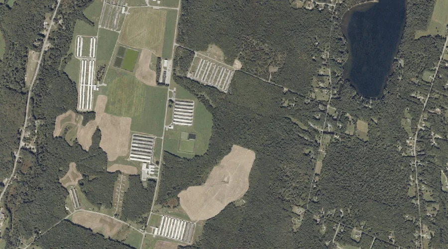
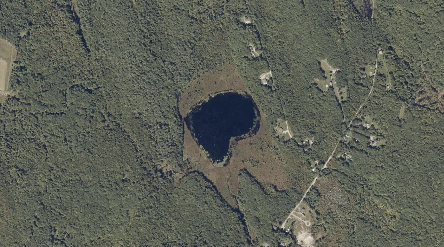
Mud Pond is a lake in Androscoggin County, Maine, located about 27.4 miles east-southeast of Chapman Inn in Bethel, Maine. It appears on the USGS Lake Auburn West…
Snell Hill is a summit in Androscoggin County, Maine, located about 27.2 miles east-southeast of Chapman Inn in Bethel, Maine. It appears on the USGS Lake Auburn West…