Snow Brook is a stream in Carroll County, New Hampshire, located about 30.9 miles south-southwest of Chapman Inn in Bethel, Maine. It appears on the USGS Conway topographic…
Devils Hopyard Stream is a stream in Coos County, New Hampshire, located about 30.9 miles west-northwest of Chapman Inn in Bethel, Maine. It appears on the USGS West…
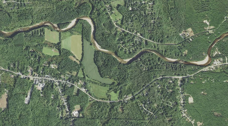
Shepards River is a stream in Oxford County, New Hampshire, located about 30.6 miles south of Chapman Inn in Bethel, Maine. It appears on the USGS Brownfield topographic…
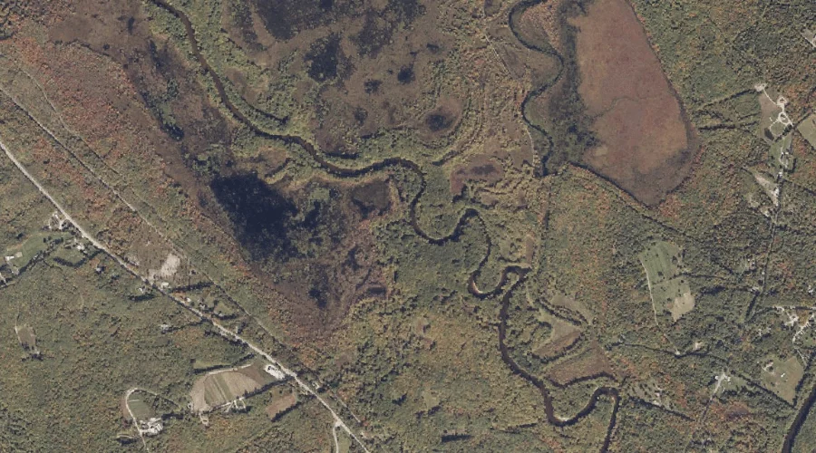
Jefferson Brook is a stream in Coos County, New Hampshire, located about 30.6 miles west-southwest of Chapman Inn in Bethel, Maine. It appears on the USGS Mount Dartmouth…
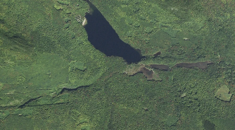
Cold Stream is a stream in Coos County, New Hampshire, located about 30.8 miles west-northwest of Chapman Inn in Bethel, Maine. It appears on the USGS West Milan…
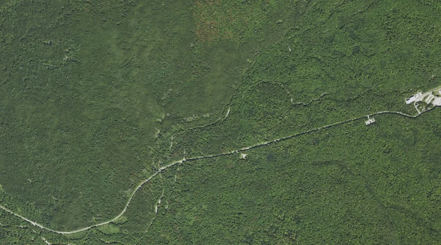
Little Ledge Brook is a stream in Coos County, New Hampshire, located about 30.4 miles west of Chapman Inn in Bethel, Maine. It appears on the USGS Jefferson…
Fish Meadow Brook is a stream in Androscoggin County, Maine, located about 30.4 miles east of Chapman Inn in Bethel, Maine. It appears on the USGS Livermore Falls…
Mason Brook is a stream in Carroll County, New Hampshire, located about 30.5 miles south-southwest of Chapman Inn in Bethel, Maine. It appears on the USGS North Conway…
Cole Brook is a stream in Oxford County, Maine, located about 30.6 miles south of Chapman Inn in Bethel, Maine. It appears on the USGS North Sebago topographic…
Clay Brook is a stream in Androscoggin County, Maine, located about 30.3 miles east of Chapman Inn in Bethel, Maine. It appears on the USGS Livermore Falls topographic…