Mosquito Brook is a stream in Oxford County, Maine, located about 31.5 miles north of Chapman Inn in Bethel, Maine. It appears on the USGS Metallak Mountain topographic…
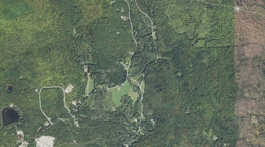
Hunton Brook is a stream in Androscoggin County, Maine, located about 31.5 miles east of Chapman Inn in Bethel, Maine. It appears on the USGS Livermore Falls topographic…
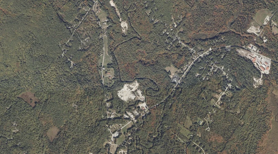
Meadow Brook is a stream in Franklin County, Maine, located about 31.5 miles east-northeast of Chapman Inn in Bethel, Maine. It appears on the USGS Wilton topographic quadrangle.
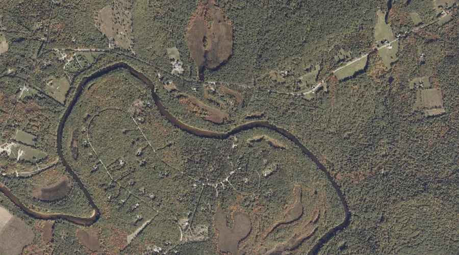
Nezinscot River is a stream in Androscoggin County, Maine, located about 31.1 miles east-southeast of Chapman Inn in Bethel, Maine. It appears on the USGS Turner Center topographic…
Coubers Brook is a stream in Franklin County, Maine, located about 31.2 miles east-northeast of Chapman Inn in Bethel, Maine. It appears on the USGS Wilton topographic quadrangle.
Mill Brook is a stream in Cumberland County, Maine, located about 31.2 miles south-southeast of Chapman Inn in Bethel, Maine. It appears on the USGS Naples topographic quadrangle.
Sucker Brook is a stream in Oxford County, Maine, located about 31.3 miles south of Chapman Inn in Bethel, Maine. It appears on the USGS North Sebago topographic…
Buck Meadow Brook is a stream in Oxford County, Maine, located about 31.0 miles south of Chapman Inn in Bethel, Maine. It appears on the USGS Hiram topographic…
Clear Stream is a stream in Coos County, New Hampshire, located about 31.0 miles north-northwest of Chapman Inn in Bethel, Maine. It appears on the USGS Errol topographic…
Roberts Brooks is a stream in Coos County, New Hampshire, located about 31.0 miles west-northwest of Chapman Inn in Bethel, Maine. It appears on the USGS Dummer Ponds…