Franklin Brook is a stream in Coos County, New Hampshire, located about 29.8 miles west-southwest of Chapman Inn in Bethel, Maine. It appears on the USGS Mount Washington…
Little Saco River is a stream in Oxford County, Maine, located about 29.8 miles south-southwest of Chapman Inn in Bethel, Maine. It appears on the USGS Brownfield topographic…
Cow Brook is a stream in Carroll County, New Hampshire, located about 29.9 miles southwest of Chapman Inn in Bethel, Maine. It appears on the USGS North Conway…
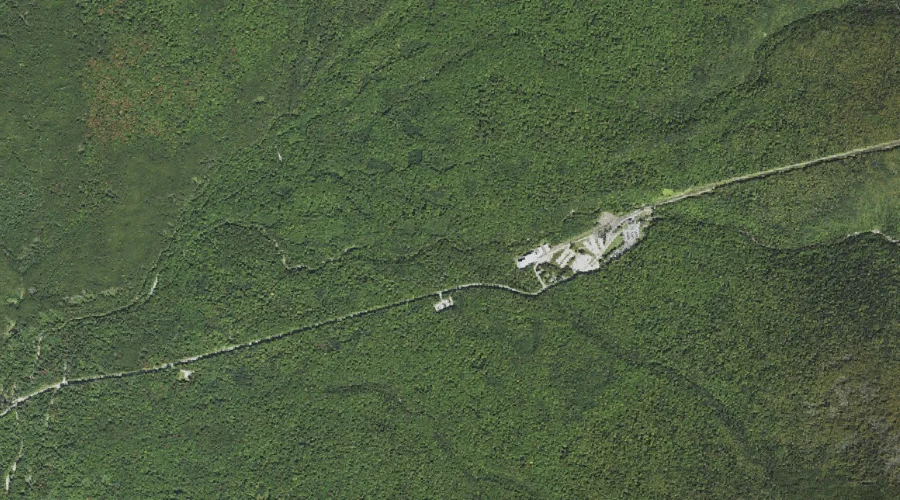
Upper Stairs Brook is a stream in Coos County, New Hampshire, located about 29.9 miles southwest of Chapman Inn in Bethel, Maine. It appears on the USGS Stairs…
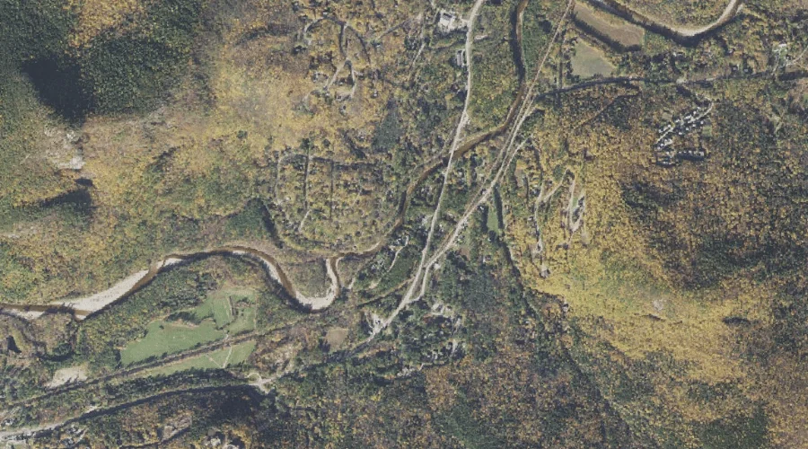
Otis Brook is a stream in Carroll County, New Hampshire, located about 30.0 miles southwest of Chapman Inn in Bethel, Maine. It appears on the USGS Stairs Mountain…
Four Ponds Brook is a stream in Franklin County, Maine, located about 29.7 miles north of Chapman Inn in Bethel, Maine. It appears on the USGS Houghton topographic…
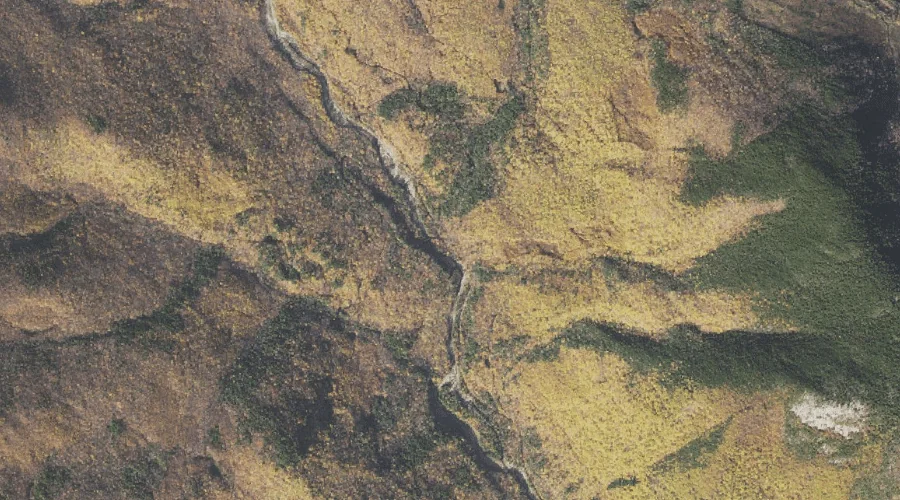
Little Bear Brook is a stream in Coos County, New Hampshire, located about 29.7 miles west of Chapman Inn in Bethel, Maine. It appears on the USGS Mount…
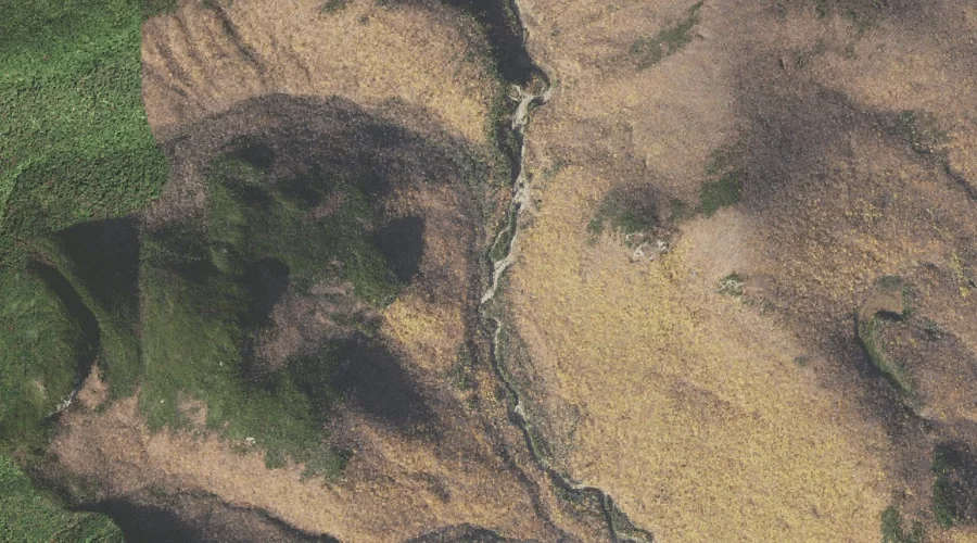
Big Ledge Brook is a stream in Coos County, New Hampshire, located about 29.7 miles west of Chapman Inn in Bethel, Maine. It appears on the USGS Jefferson…
Meadow Brook is a stream in Androscoggin County, Maine, located about 29.7 miles southeast of Chapman Inn in Bethel, Maine. It appears on the USGS Mechanic Falls topographic…
Wilson Stream is a stream in Franklin County, Maine, located about 29.7 miles east-northeast of Chapman Inn in Bethel, Maine. It appears on the USGS East Dixfield topographic…