Town Farm Brook is a stream in Cumberland County, Maine, located about 30.2 miles south of Chapman Inn in Bethel, Maine. It appears on the USGS North Sebago…
Kearsarge Brook is a stream in Carroll County, New Hampshire, located about 30.3 miles southwest of Chapman Inn in Bethel, Maine. It appears on the USGS North Conway…
Clay Brook is a stream in Coos County, New Hampshire, located about 30.3 miles west-southwest of Chapman Inn in Bethel, Maine. It appears on the USGS Mount Washington…
Clay Brook is a stream in Androscoggin County, Maine, located about 30.3 miles east of Chapman Inn in Bethel, Maine. It appears on the USGS Livermore Falls topographic…
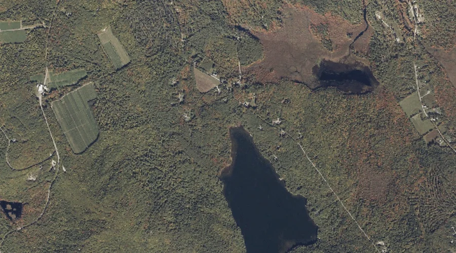
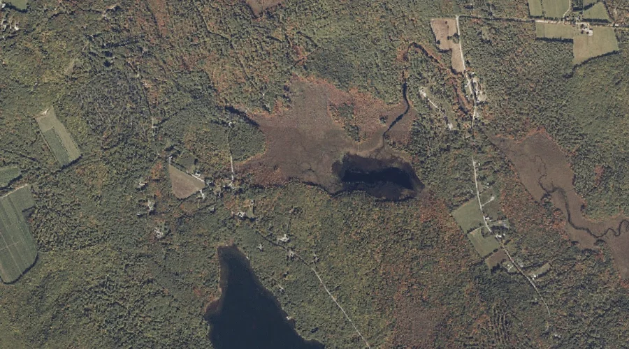
Gristmill Brook is a stream in Cumberland County, Maine, located about 30.0 miles south of Chapman Inn in Bethel, Maine. It appears on the USGS North Sebago topographic…
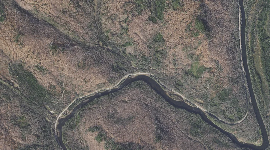
South Branch Israel River is a stream in Coos County, New Hampshire, located about 30.1 miles west of Chapman Inn in Bethel, Maine. It appears on the USGS…
Elm Brook is a stream in Carroll County, New Hampshire, located about 30.1 miles southwest of Chapman Inn in Bethel, Maine. It appears on the USGS North Conway…
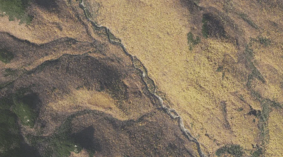
Smoky Camp Brook is a stream in Coos County, New Hampshire, located about 30.1 miles northwest of Chapman Inn in Bethel, Maine. It appears on the USGS Teakettle…
Keith Brook is a stream in Androscoggin County, Maine, located about 30.0 miles east of Chapman Inn in Bethel, Maine. It appears on the USGS Turner Center topographic…
Lower Stairs Brook is a stream in Carroll County, New Hampshire, located about 30.0 miles southwest of Chapman Inn in Bethel, Maine. It appears on the USGS Stairs…