Clear Stream is a stream in Coos County, New Hampshire, located about 31.0 miles north-northwest of Chapman Inn in Bethel, Maine. It appears on the USGS Errol topographic…
Roberts Brooks is a stream in Coos County, New Hampshire, located about 31.0 miles west-northwest of Chapman Inn in Bethel, Maine. It appears on the USGS Dummer Ponds…
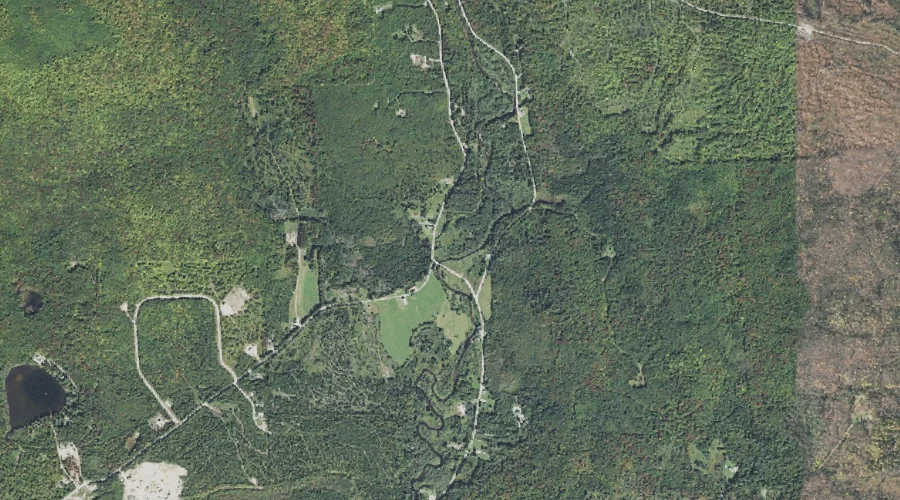
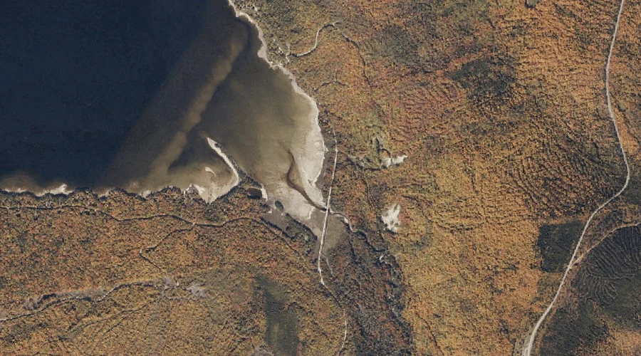
Sokokis Brook is a stream in Coos County, New Hampshire, located about 31.1 miles west-southwest of Chapman Inn in Bethel, Maine. It appears on the USGS Mount Dartmouth…
Decker Brook is a stream in Cumberland County, Maine, located about 31.1 miles south-southeast of Chapman Inn in Bethel, Maine. It appears on the USGS Naples topographic quadrangle.
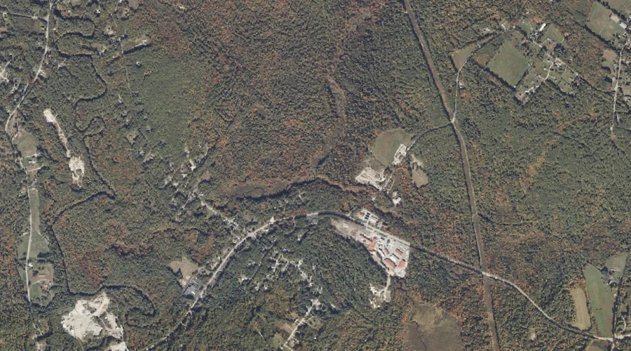
Morgan Brook is a stream in Androscoggin County, Maine, located about 31.1 miles southeast of Chapman Inn in Bethel, Maine. It appears on the USGS Minot topographic quadrangle.
Bartlett Brook is a stream in Cumberland County, Maine, located about 30.8 miles south-southeast of Chapman Inn in Bethel, Maine. It appears on the USGS Naples topographic quadrangle.
Bemis Stream is a stream in Franklin County, Maine, located about 30.8 miles north of Chapman Inn in Bethel, Maine. It appears on the USGS Houghton topographic quadrangle.
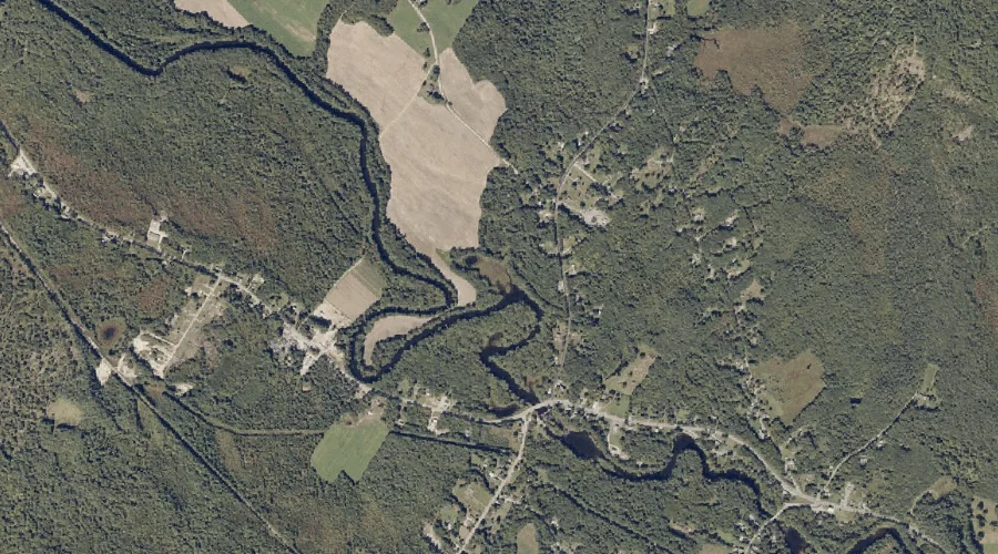
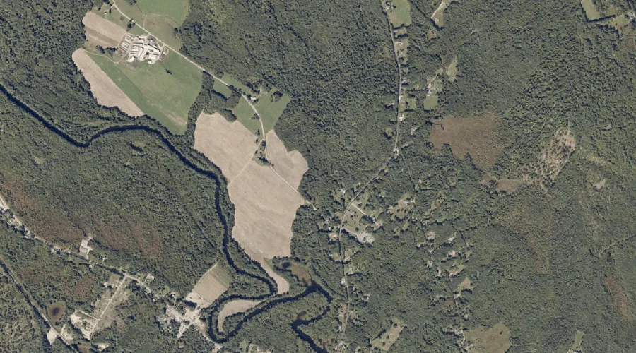
Dead River is a stream in Androscoggin County, Maine, located about 30.9 miles east of Chapman Inn in Bethel, Maine. It appears on the USGS Turner Center topographic…
Indian Brook is a stream in Androscoggin County, Maine, located about 30.9 miles southeast of Chapman Inn in Bethel, Maine. It appears on the USGS Minot topographic quadrangle.
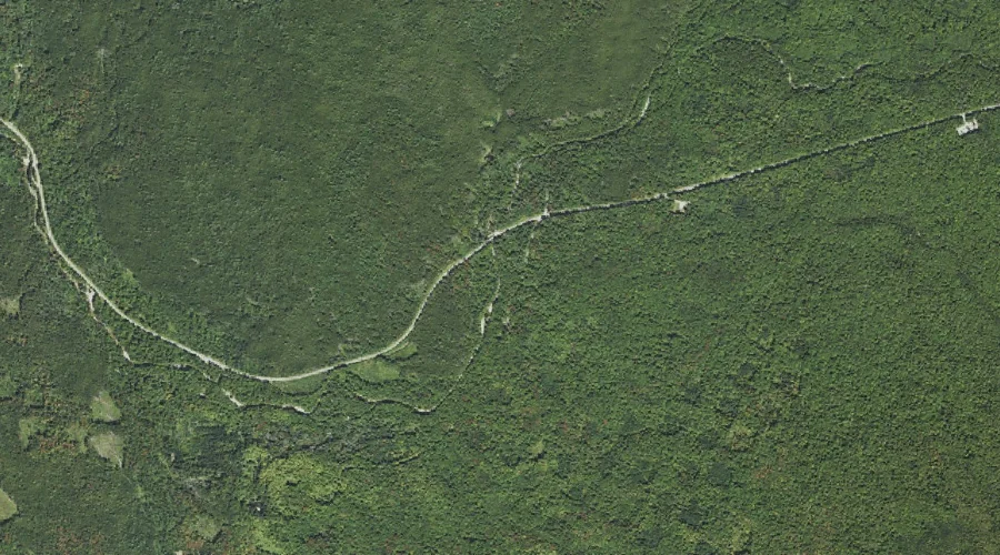
Phillips Brook is a stream in Coos County, New Hampshire, located about 30.9 miles west-northwest of Chapman Inn in Bethel, Maine. It appears on the USGS West Milan…