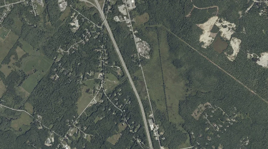
Stony Brook is a stream in Carroll County, New Hampshire, located about 43.5 miles south-southwest of Chapman Inn in Bethel, Maine. It appears on the USGS Freedom topographic…
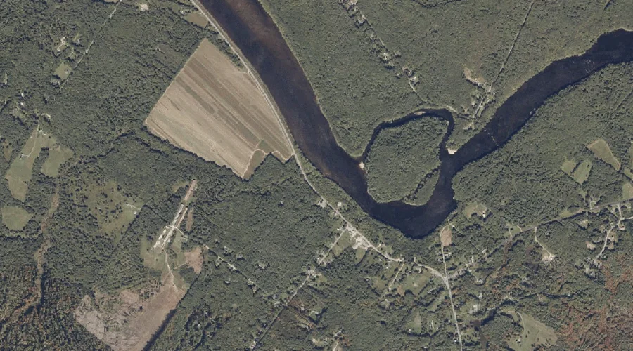
Thompson Brook is a stream in Grafton County, New Hampshire, located about 43.5 miles west-southwest of Chapman Inn in Bethel, Maine. It appears on the USGS Franconia topographic…
Cold Brook is a stream in Carroll County, New Hampshire, located about 43.5 miles south-southwest of Chapman Inn in Bethel, Maine. It appears on the USGS Freedom topographic…
Scarface Brook is a stream in Grafton County, New Hampshire, located about 43.5 miles west-southwest of Chapman Inn in Bethel, Maine. It appears on the USGS Franconia topographic…
Wiggins Brook is a stream in Cumberland County, Maine, located about 43.4 miles south-southeast of Chapman Inn in Bethel, Maine. It appears on the USGS Cumberland Center topographic…
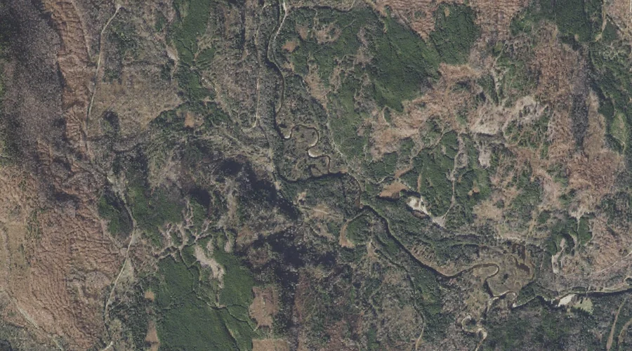
Connary Brook is a stream in Coos County, New Hampshire, located about 43.4 miles west-northwest of Chapman Inn in Bethel, Maine. It appears on the USGS Stratford topographic…
Tracy Brook is a stream in Coos County, New Hampshire, located about 43.4 miles north-northwest of Chapman Inn in Bethel, Maine. It appears on the USGS Mount Pisgah…
Gerrish Brook is a stream in Androscoggin County, Maine, located about 43.4 miles southeast of Chapman Inn in Bethel, Maine. It appears on the USGS North Pownal topographic…
Roaring Brook is a stream in Coos County, New Hampshire, located about 43.4 miles northwest of Chapman Inn in Bethel, Maine. It appears on the USGS Bunnell Mountain…
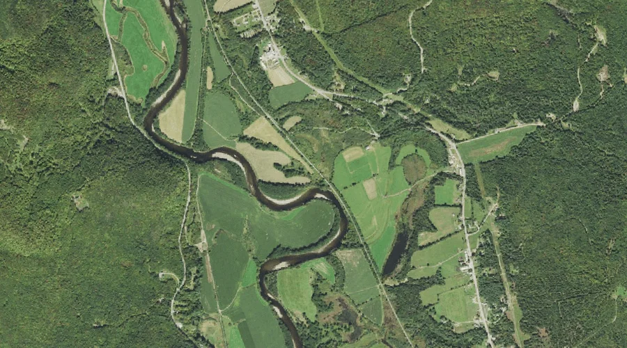
North Branch Gale River is a stream in Grafton County, New Hampshire, located about 43.4 miles west-southwest of Chapman Inn in Bethel, Maine. It appears on the USGS…