Connary Brook is a stream in Coos County, New Hampshire, located about 43.4 miles west-northwest of Chapman Inn in Bethel, Maine. It appears on the USGS Stratford topographic…
Tracy Brook is a stream in Coos County, New Hampshire, located about 43.4 miles north-northwest of Chapman Inn in Bethel, Maine. It appears on the USGS Mount Pisgah…
Gerrish Brook is a stream in Androscoggin County, Maine, located about 43.4 miles southeast of Chapman Inn in Bethel, Maine. It appears on the USGS North Pownal topographic…
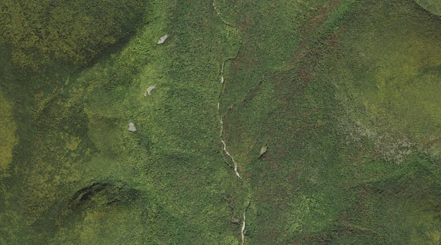
Roaring Brook is a stream in Coos County, New Hampshire, located about 43.4 miles northwest of Chapman Inn in Bethel, Maine. It appears on the USGS Bunnell Mountain…
North Branch Gale River is a stream in Grafton County, New Hampshire, located about 43.4 miles west-southwest of Chapman Inn in Bethel, Maine. It appears on the USGS…
Redrock Brook is a stream in Grafton County, New Hampshire, located about 43.2 miles west-southwest of Chapman Inn in Bethel, Maine. It appears on the USGS South Twin…
Cedar Brook is a stream in Grafton County, New Hampshire, located about 43.3 miles west-southwest of Chapman Inn in Bethel, Maine. It appears on the USGS Mount Osceola…
Sanborn Brook is a stream in Carroll County, New Hampshire, located about 43.3 miles southwest of Chapman Inn in Bethel, Maine. It appears on the USGS Mount Chocorua…
Wonalancet River is a stream in Carroll County, New Hampshire, located about 43.3 miles southwest of Chapman Inn in Bethel, Maine. It appears on the USGS Mount Chocorua…
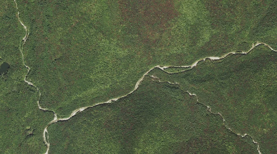
East Branch Mohawk River is a stream in Coos County, New Hampshire, located about 43.3 miles northwest of Chapman Inn in Bethel, Maine. It appears on the USGS…