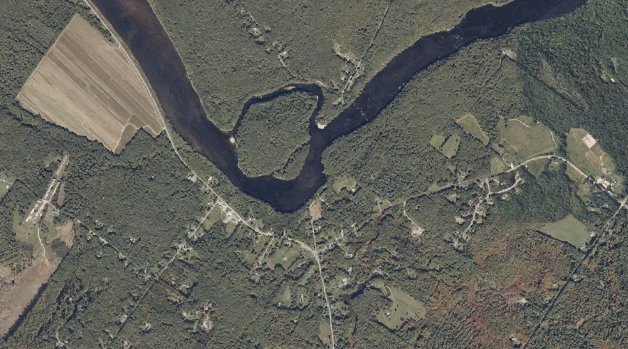
Dyer Brook is a stream in Androscoggin County, Maine, located about 43.8 miles southeast of Chapman Inn in Bethel, Maine. It appears on the USGS Lisbon Falls South…
Kelly Brook is a stream in Carroll County, New Hampshire, located about 43.9 miles southwest of Chapman Inn in Bethel, Maine. It appears on the USGS Mount Chocorua…
Fillibrown Brook is a stream in Franklin County, Maine, located about 43.7 miles east-northeast of Chapman Inn in Bethel, Maine. It appears on the USGS Mercer topographic quadrangle.
Cold Brook is a stream in Carroll County, New Hampshire, located about 43.7 miles south-southwest of Chapman Inn in Bethel, Maine. It appears on the USGS Freedom topographic…
Hodgedon Brook is a stream in Carroll County, New Hampshire, located about 43.7 miles south-southwest of Chapman Inn in Bethel, Maine. It appears on the USGS Freedom topographic…
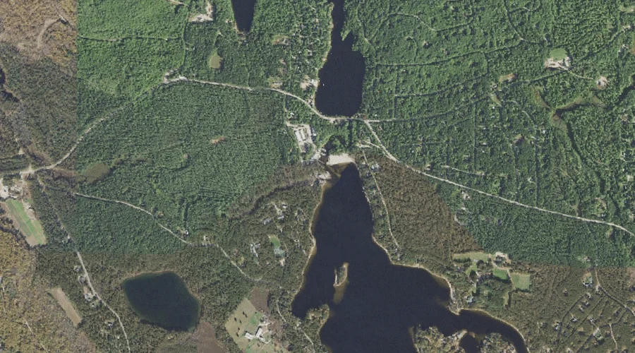
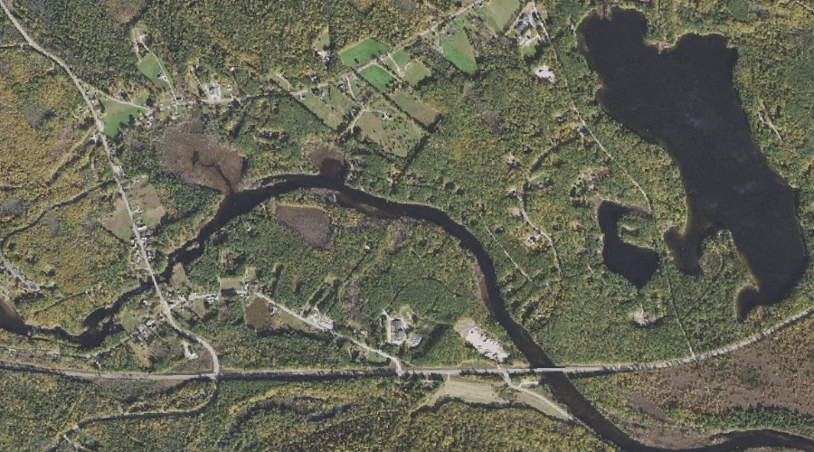
Collyer Brook is a stream in Cumberland County, Maine, located about 43.6 miles southeast of Chapman Inn in Bethel, Maine. It appears on the USGS Gray topographic quadrangle.
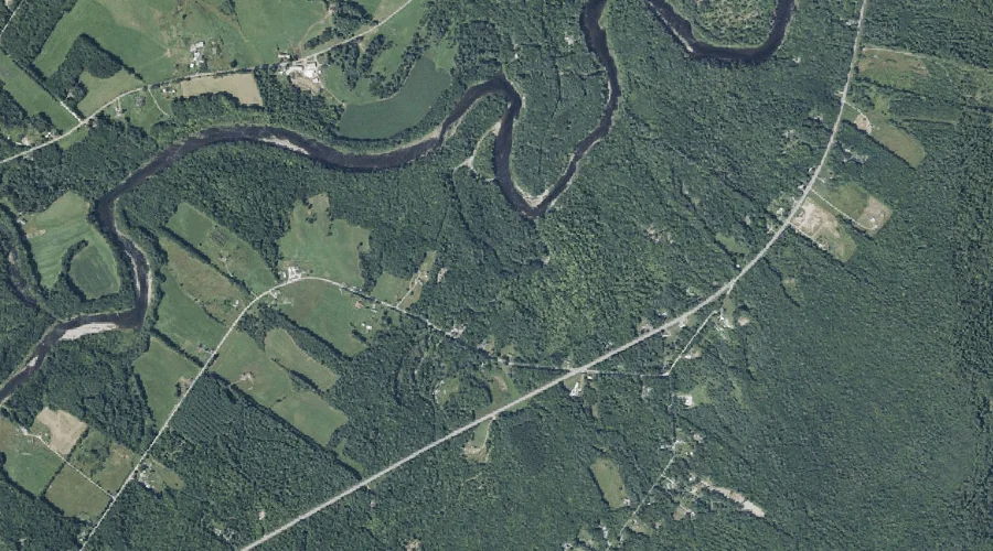
Ingham Stream is a stream in Kennebec County, Maine, located about 43.6 miles east of Chapman Inn in Bethel, Maine. It appears on the USGS Readfield topographic quadrangle.
Square Brook is a stream in Carroll County, New Hampshire, located about 43.6 miles south-southwest of Chapman Inn in Bethel, Maine. It appears on the USGS Freedom topographic…
South River is a stream in York County, New Hampshire, located about 43.6 miles south of Chapman Inn in Bethel, Maine. It appears on the USGS Kezar Falls…
Spruce Brook is a stream in Grafton County, New Hampshire, located about 43.5 miles west-southwest of Chapman Inn in Bethel, Maine. It appears on the USGS Franconia topographic…