Thayer Brook is a stream in Cumberland County, Maine, located about 43.2 miles south-southeast of Chapman Inn in Bethel, Maine. It appears on the USGS Cumberland Center topographic…
Redrock Brook is a stream in Grafton County, New Hampshire, located about 43.2 miles west-southwest of Chapman Inn in Bethel, Maine. It appears on the USGS South Twin…
Mill Brook is a stream in Oxford County, Maine, located about 43.1 miles south of Chapman Inn in Bethel, Maine. It appears on the USGS Kezar Falls topographic…
Taylor Brook is a stream in Essex County, New Hampshire, located about 43.1 miles west-northwest of Chapman Inn in Bethel, Maine. It appears on the USGS Stratford topographic…
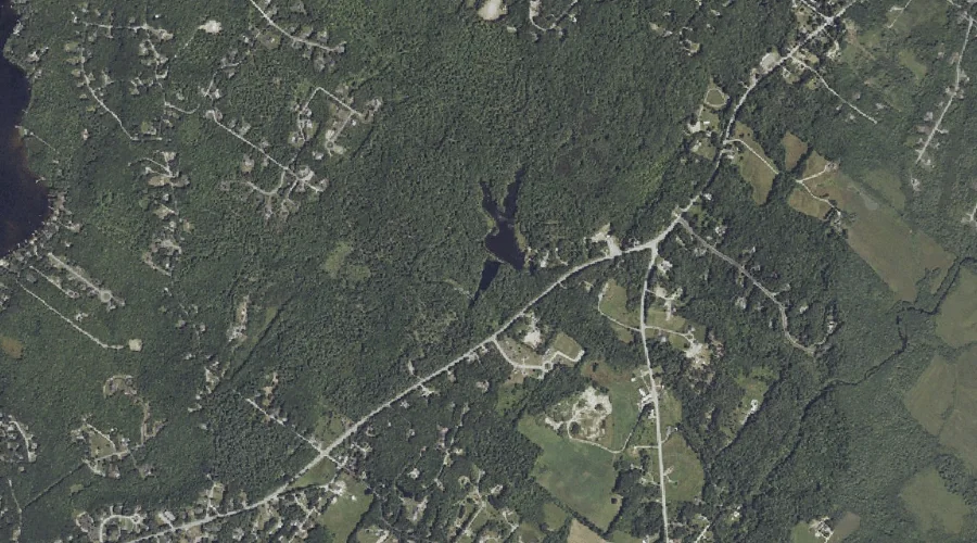
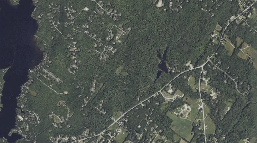
Glantz Brook is a stream in Cumberland County, Maine, located about 43.1 miles south-southeast of Chapman Inn in Bethel, Maine. It appears on the USGS North Windham topographic…
Pugsley Brook is a stream in York County, Maine, located about 43.1 miles south of Chapman Inn in Bethel, Maine. It appears on the USGS Cornish topographic quadrangle.
Tucker Brook is a stream in Cumberland County, Maine, located about 42.9 miles south of Chapman Inn in Bethel, Maine. It appears on the USGS Steep Falls topographic…
Ollie Brook is a stream in Cumberland County, Maine, located about 42.9 miles south-southeast of Chapman Inn in Bethel, Maine. It appears on the USGS North Windham topographic…
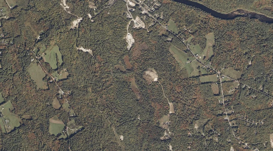
Barker Brook is a stream in Androscoggin County, Maine, located about 43.0 miles southeast of Chapman Inn in Bethel, Maine. It appears on the USGS Lisbon Falls North…
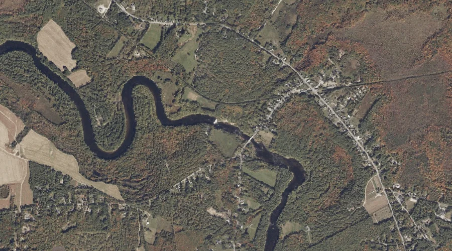
Great Brook is a stream in York County, Maine, located about 43.0 miles south of Chapman Inn in Bethel, Maine. It appears on the USGS Kezar Falls topographic…