 Aerial imagery: USGS National Map (public domain)
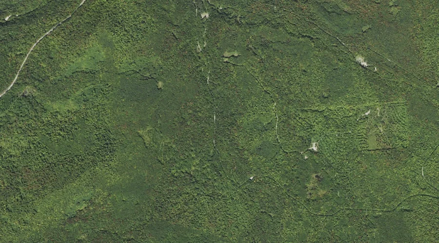
Scarface Brook — Streams 43.5 Miles WSW of Chapman Inn
Grafton County, New Hampshire · USGS Franconia Quadrangle · GNIS 872633
Within Grafton County, New Hampshire, on the USGS Franconia quadrangle, the stream known as Scarface Brook sits 43.5 miles west-southwest of Chapman Inn.
Landmark Profile
Classification & USGS reference
Within Grafton County, New Hampshire, the U.S. Geological Survey lists Scarface Brook as a stream on the Franconia topographic quadrangle (FIPS 33/009), under Feature ID 872633. Catalogued in GNIS since 08/27/1980.
Coordinates & physical setting
Scarface Brook sits at 44.23367° N, 71.63647° W (DMS 44°14′01″ N, 71°38′11″ W).
As a linear feature its source lies near 44.20778° N, 71.65500° W (DMS 44°12′28″ N, 71°39′18″ W) — useful for anglers and paddlers tracing the upstream end.
Other streams in Grafton County, New Hampshire
Grafton County, NH contains 89 streams catalogued in the USGS Geographic Names Information System, counting Scarface Brook itself. The ones closest to Scarface Brook:
| Feature | USGS Quadrangle | Distance |
|---|---|---|
| North Branch Gale River | Franconia | 0.7 mi |
| South Branch Gale River | Franconia | 0.7 mi |
| Thompson Brook | Franconia | 0.8 mi |
| Beaver Brook | Franconia | 1.1 mi |
| Spruce Brook | Franconia | 1.3 mi |
| Burnt Brook | Franconia | 1.9 mi |
| Black Brook | Bethlehem | 3.8 mi |
| Haystack Brook | Twin Mountain | 3.8 mi |
| Jordan Brook | Franconia | 3.9 mi |
| Skookumchuck Brook | Franconia | 4 mi |
Features on the USGS Franconia Quadrangle
The Franconia 7.5-minute topographic quadrangle holds 39 catalogued natural features alongside Scarface Brook. A sampling nearest to this location:
| Feature | Type | County | Offset |
|---|---|---|---|
| North Branch Gale River | Streams | Grafton County, NH | 0.7 mi |
| South Branch Gale River | Streams | Grafton County, NH | 0.7 mi |
| Thompson Brook | Streams | Grafton County, NH | 0.8 mi |
| Abbot Hill | Summits | Grafton County, NH | 0.8 mi |
| Priest Hill | Summits | Grafton County, NH | 0.9 mi |
| Beaver Brook | Streams | Grafton County, NH | 1.1 mi |
| Spruce Brook | Streams | Grafton County, NH | 1.3 mi |
| Bethlehem Reservoir | Reservoirs | Grafton County, NH | 1.3 mi |
| Burnt Brook | Streams | Grafton County, NH | 1.9 mi |
| Scarface Mountain | Summits | Grafton County, NH | 2.3 mi |
Visiting from Chapman Inn
Distance, bearing & drive time
Follow the compass bearing WSW out of Bethel for 43.5 miles (west-southwest) and you reach Scarface Brook; at typical rural speeds the trip runs roughly 75 minutes.
Best time to visit
Best observed in late spring and early summer when flow is strong and banks are visible. At this latitude (44.234°), the shoulder seasons are workable — April and November can be comfortable on mild years. At 43.5 miles from the Inn, block the full day — sunrise start, late return, packed meals. Conditions at Scarface Brook track the nearby North Branch Gale River stream (0.7 mi away) closely — if that is runnable, so is this.
Nearest features to Scarface Brook
| Feature | Type | County | Distance |
|---|---|---|---|
| North Branch Gale River | Streams | Grafton County, NH | 0.7 mi |
| South Branch Gale River | Streams | Grafton County, NH | 0.7 mi |
| Thompson Brook | Streams | Grafton County, NH | 0.8 mi |
| Abbot Hill | Summits | Grafton County, NH | 0.8 mi |
| Littleton Reservoir | Reservoirs | Grafton County, NH | 0.9 mi |
Frequently Asked Questions
Where is Scarface Brook located?
Scarface Brook is in Grafton County, New Hampshire, approximately 43.5 miles west-southwest of Chapman Inn in Bethel, Maine. It appears on the USGS Franconia topographic quadrangle.
How far is Scarface Brook from Chapman Inn?
The drive runs about 75 minutes, 43.5 miles west-southwest (bearing WSW) of the Inn.
What type of natural feature is Scarface Brook?
The U.S. Geological Survey classifies Scarface Brook as a stream, catalogued under GNIS Feature ID 872633 on the Franconia quadrangle.
When is the best time to visit Scarface Brook?
Best observed in late spring and early summer when flow is strong and banks are visible.
How many other streams are in Grafton County, New Hampshire?
GNIS lists 88 other streams in Grafton County, New Hampshire.