Lincoln Brook is a stream in Grafton County, New Hampshire, located about 44.0 miles west-southwest of Chapman Inn in Bethel, Maine. It appears on the USGS Mount Osceola…
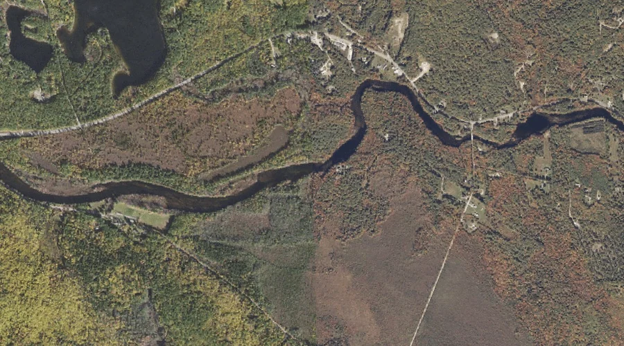
Beaver Brook is a stream in Grafton County, New Hampshire, located about 44.0 miles west-southwest of Chapman Inn in Bethel, Maine. It appears on the USGS Franconia topographic…
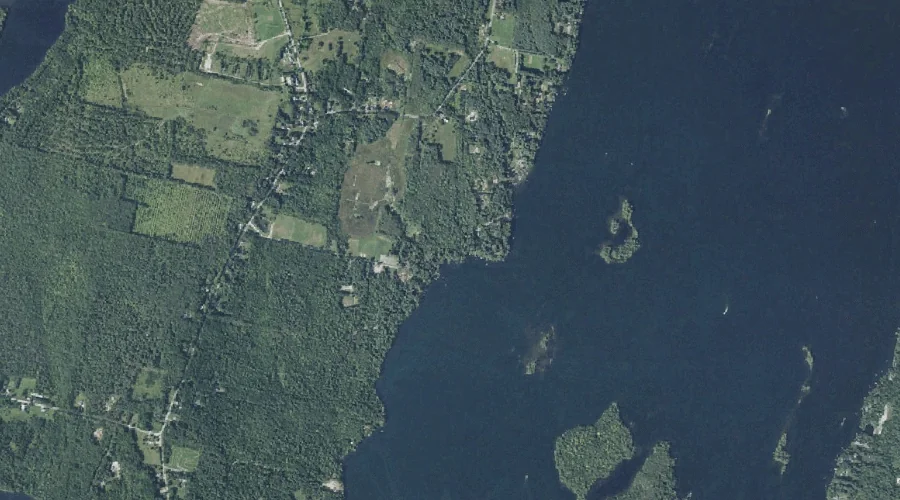
Lovering Brook is a stream in Carroll County, New Hampshire, located about 43.8 miles south-southwest of Chapman Inn in Bethel, Maine. It appears on the USGS Freedom topographic…
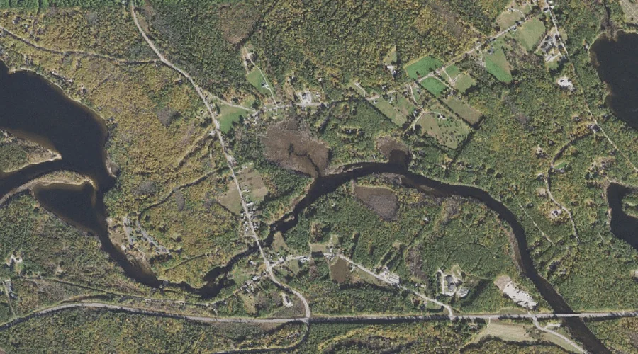
Bog Stream is a stream in Kennebec County, Maine, located about 43.8 miles east of Chapman Inn in Bethel, Maine. It appears on the USGS Readfield topographic quadrangle.
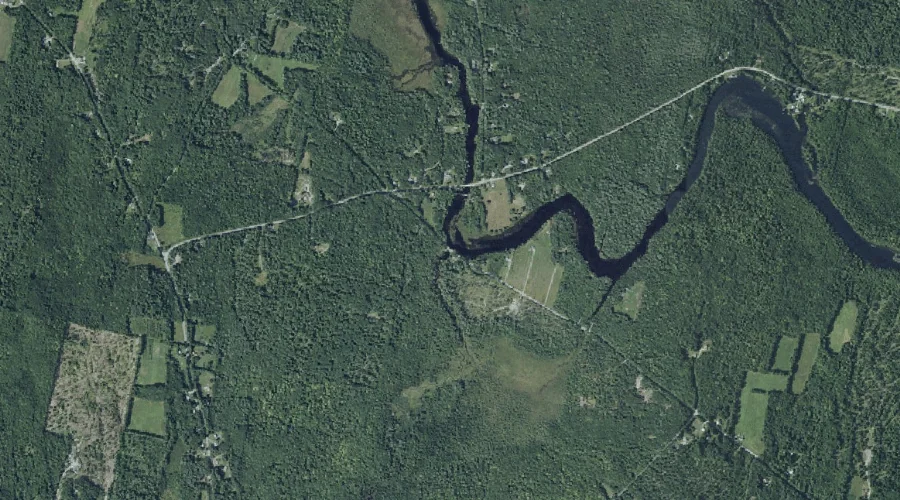
Strout Brook is a stream in Cumberland County, Maine, located about 43.8 miles south of Chapman Inn in Bethel, Maine. It appears on the USGS Steep Falls topographic…
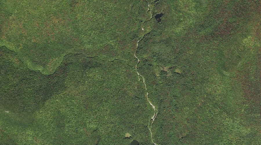
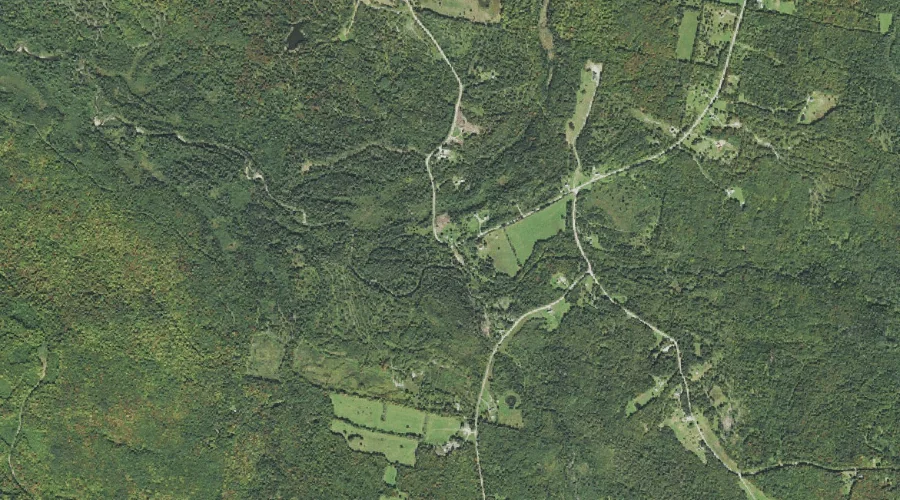
East Branch Simms Stream is a stream in Coos County, New Hampshire, located about 43.8 miles northwest of Chapman Inn in Bethel, Maine. It appears on the USGS…
Mastin Brook is a stream in Carroll County, New Hampshire, located about 43.8 miles south-southwest of Chapman Inn in Bethel, Maine. It appears on the USGS Freedom topographic…
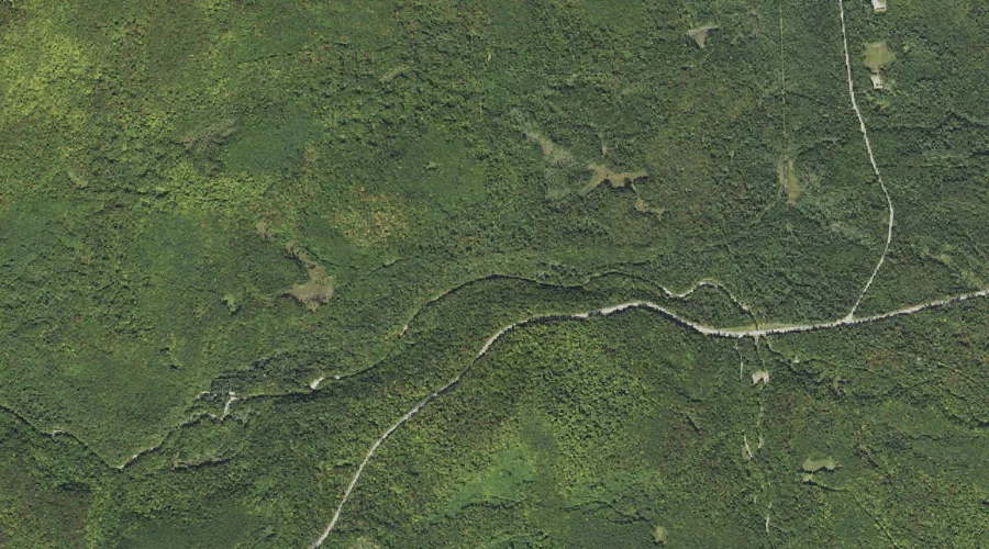
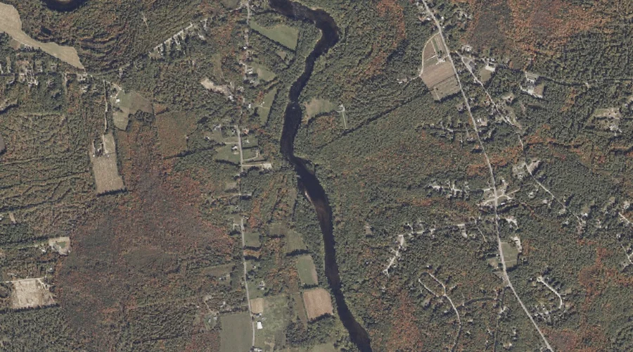
Johns River is a stream in Coos County, New Hampshire, located about 43.8 miles west of Chapman Inn in Bethel, Maine. It appears on the USGS Gilman topographic…
Kezar Brook is a stream in Kennebec County, Maine, located about 43.8 miles east of Chapman Inn in Bethel, Maine. It appears on the USGS Winthrop topographic quadrangle.
Aldrich Brook is a stream in Oxford County, Maine, located about 43.8 miles north-northwest of Chapman Inn in Bethel, Maine. It appears on the USGS Bosebuck Mountain topographic…