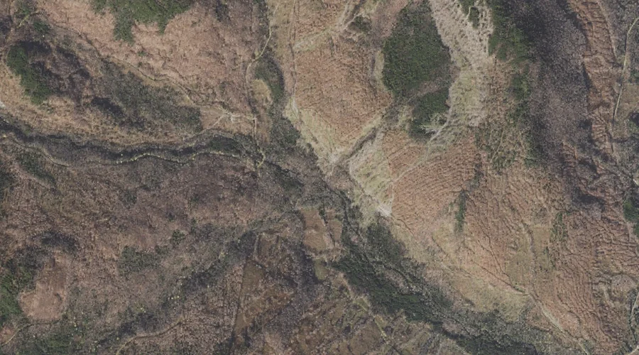
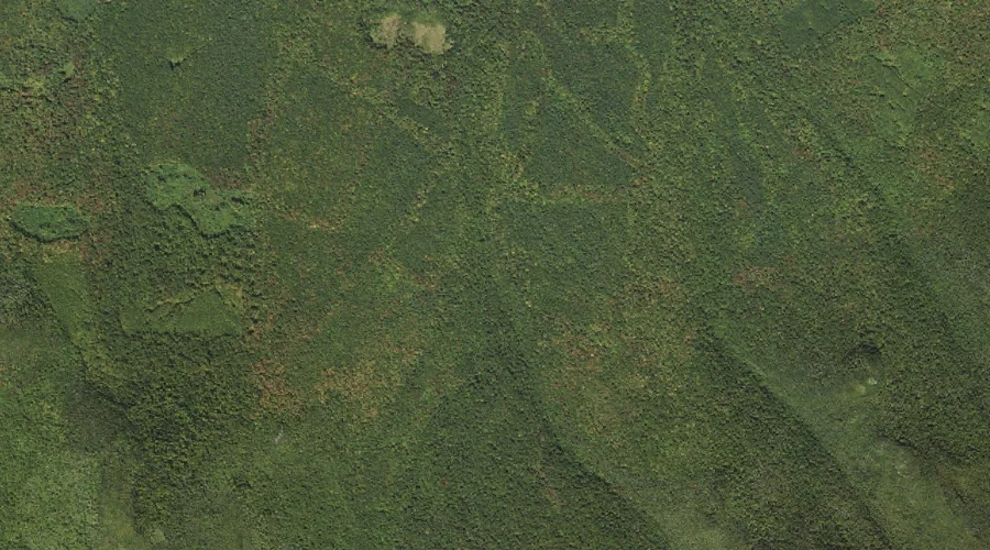
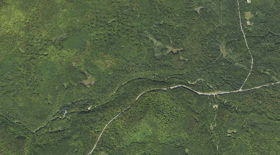
Pesky Brook is a stream in Coos County, New Hampshire, located about 44.2 miles north-northwest of Chapman Inn in Bethel, Maine. It appears on the USGS Mount Pisgah…
Alder Brook is a stream in Androscoggin County, Maine, located about 44.3 miles southeast of Chapman Inn in Bethel, Maine. It appears on the USGS North Pownal topographic…
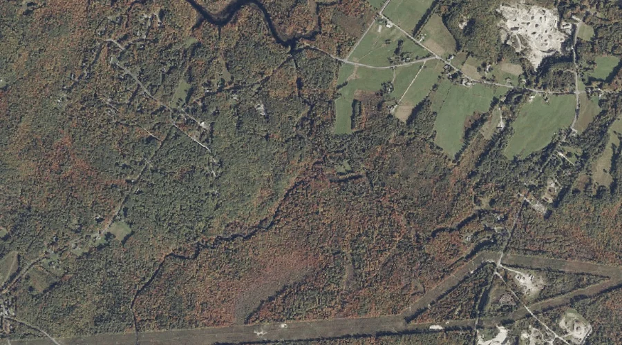
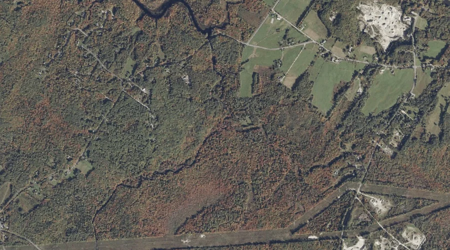
Runaround Brook is a stream in Cumberland County, Maine, located about 44.3 miles southeast of Chapman Inn in Bethel, Maine. It appears on the USGS North Pownal topographic…
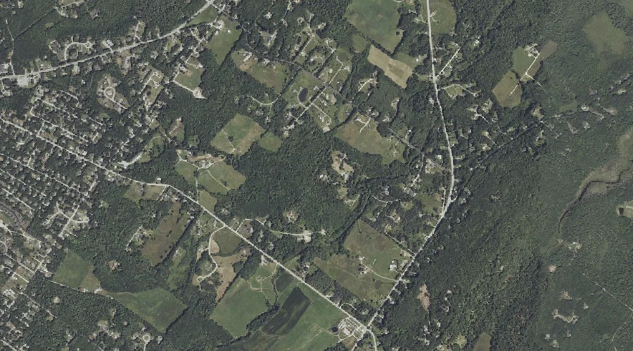
Elmer Brook is a stream in Cumberland County, Maine, located about 44.1 miles south-southeast of Chapman Inn in Bethel, Maine. It appears on the USGS North Windham topographic…
Burnt Brook is a stream in Grafton County, New Hampshire, located about 44.1 miles west-southwest of Chapman Inn in Bethel, Maine. It appears on the USGS Franconia topographic…
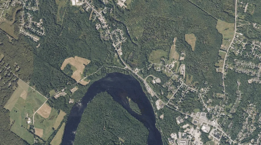
Sabattus River is a stream in Androscoggin County, Maine, located about 44.1 miles southeast of Chapman Inn in Bethel, Maine. It appears on the USGS Lisbon Falls North…
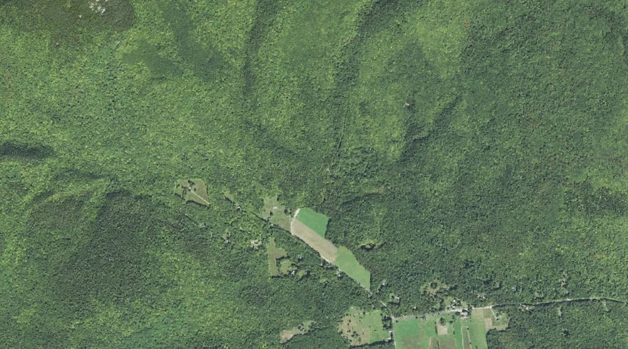
West Branch Simms Stream is a stream in Coos County, New Hampshire, located about 44.1 miles northwest of Chapman Inn in Bethel, Maine. It appears on the USGS…
Flanders Brook is a stream in Carroll County, New Hampshire, located about 44.1 miles south-southwest of Chapman Inn in Bethel, Maine. It appears on the USGS Freedom topographic…
Beaver Brook is a stream in Grafton County, New Hampshire, located about 44.0 miles west-southwest of Chapman Inn in Bethel, Maine. It appears on the USGS Franconia topographic…
Spring Brook is a stream in Grafton County, New Hampshire, located about 44.0 miles southwest of Chapman Inn in Bethel, Maine. It appears on the USGS Mount Chocorua…