 Aerial imagery: USGS National Map (public domain)
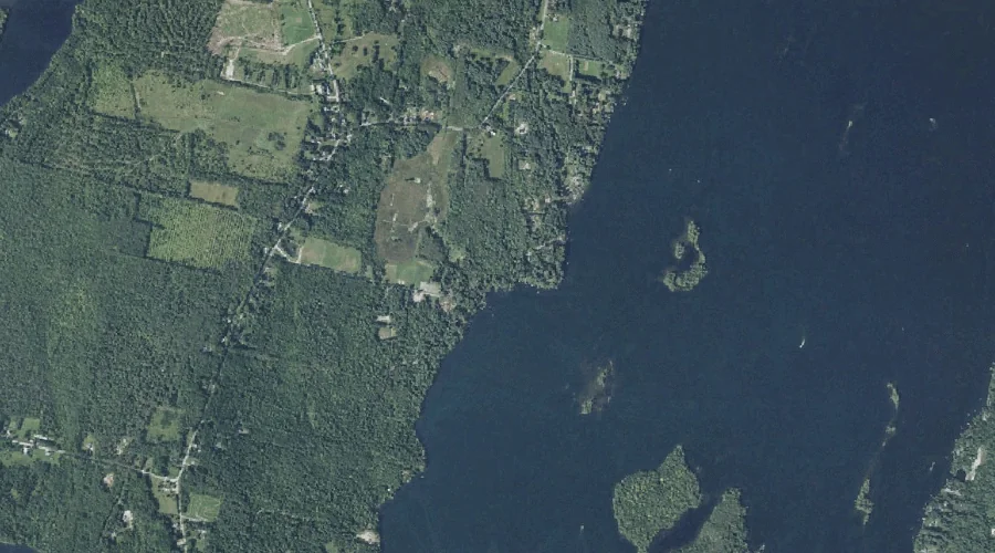
Kezar Brook — Streams 43.8 Miles E of Chapman Inn
Kennebec County, Maine · USGS Winthrop Quadrangle · GNIS 569139
43.8 miles east of Chapman Inn, on the USGS Winthrop topographic quadrangle, Kezar Brook is a stream recorded in Kennebec County, Maine by the federal Geographic Names Information System.
Wikidata short description: “stream in Kennebec County, Maine, United States of America”
Landmark Profile
Classification & USGS reference
The USGS Winthrop 7.5-minute topographic quadrangle places Kezar Brook in Kennebec County, Maine (FIPS 23/011), classified as a stream in the federal GNIS (Feature ID 569139). Catalogued in GNIS since 09/30/1980.
Coordinates & physical setting
Kezar Brook sits at 44.29896° N, 69.91422° W (DMS 44°17′56″ N, 69°54′51″ W).
As a linear feature its source lies near 44.31389° N, 69.91889° W (DMS 44°18′50″ N, 69°55′08″ W) — useful for anglers and paddlers tracing the upstream end.
Other streams in Kennebec County, Maine
Kennebec County, ME contains 43 streams catalogued in the USGS Geographic Names Information System, counting Kezar Brook itself. The ones closest to Kezar Brook:
| Feature | USGS Quadrangle | Distance |
|---|---|---|
| Bog Brook | Winthrop | 2.5 mi |
| Mears Brook | Winthrop | 2.7 mi |
| Hoyt Brook | Winthrop | 3.5 mi |
| Beaver Brook | Winthrop | 3.8 mi |
| Wilson Stream | Winthrop | 4.9 mi |
| Spring Brook | Augusta | 5.2 mi |
| Mud Mills Stream | Wayne | 5.2 mi |
| Tanning Brook | Augusta | 5.5 mi |
| Jug Stream | Purgatory | 5.5 mi |
| Tannery Brook | Wayne | 5.7 mi |
Features on the USGS Winthrop Quadrangle
The Winthrop 7.5-minute topographic quadrangle holds 35 catalogued natural features alongside Kezar Brook. A sampling nearest to this location:
| Feature | Type | County | Offset |
|---|---|---|---|
| Robbins Point | Capes | Kennebec County, ME | 0.1 mi |
| Lower Sister Island | Islands | Kennebec County, ME | 0.4 mi |
| Upper Sister Island | Islands | Kennebec County, ME | 0.5 mi |
| Belle Island | Islands | Kennebec County, ME | 0.8 mi |
| Hodgdon Island | Islands | Kennebec County, ME | 0.9 mi |
| Cuba Island | Islands | Kennebec County, ME | 1 mi |
| Black Island | Islands | Kennebec County, ME | 1.1 mi |
| Kezar Pond | Lakes | Kennebec County, ME | 1.2 mi |
| Molazigan Island | Islands | Kennebec County, ME | 1.3 mi |
| Frog Island | Islands | Kennebec County, ME | 1.4 mi |
Visiting from Chapman Inn
Distance, bearing & drive time
Chapman Inn sits 43.8 miles east (bearing E) of Kezar Brook. At moderate back-road speeds the drive runs about 75 minutes — comfortably inside a half-day outing window after breakfast.
Best time to visit
Best observed in late spring and early summer when flow is strong and banks are visible. At this latitude (44.299°), the shoulder seasons are workable — April and November can be comfortable on mild years. At 43.8 miles from the Inn, block the full day — sunrise start, late return, packed meals. Conditions at Kezar Brook track the nearby Robbins Point cape (essentially adjacent) closely — if that is runnable, so is this.
Nearest features to Kezar Brook
| Feature | Type | County | Distance |
|---|---|---|---|
| Robbins Point | Capes | Kennebec County, ME | 0.1 mi |
| Lower Sister Island | Islands | Kennebec County, ME | 0.4 mi |
| Upper Sister Island | Islands | Kennebec County, ME | 0.5 mi |
| Belle Island | Islands | Kennebec County, ME | 0.8 mi |
| Hodgdon Island | Islands | Kennebec County, ME | 0.9 mi |
Frequently Asked Questions
Where is Kezar Brook located?
Kezar Brook is in Kennebec County, Maine, approximately 43.8 miles east of Chapman Inn in Bethel, Maine. It appears on the USGS Winthrop topographic quadrangle.
How far is Kezar Brook from Chapman Inn?
The drive runs about 75 minutes, 43.8 miles east (bearing E) of the Inn.
What type of natural feature is Kezar Brook?
The U.S. Geological Survey classifies Kezar Brook as a stream, catalogued under GNIS Feature ID 569139 on the Winthrop quadrangle.
When is the best time to visit Kezar Brook?
Best observed in late spring and early summer when flow is strong and banks are visible.
How many other streams are in Kennebec County, Maine?
GNIS lists 42 other streams in Kennebec County, Maine.
Wikidata: Q35408635.