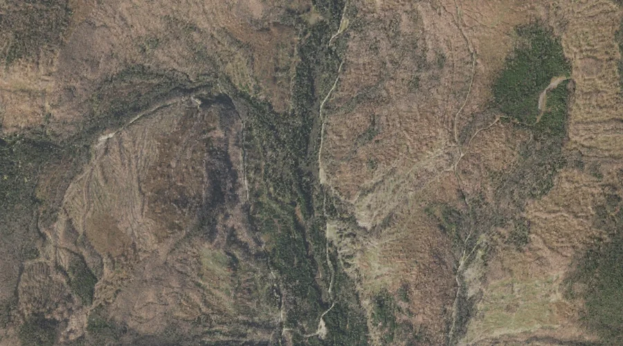
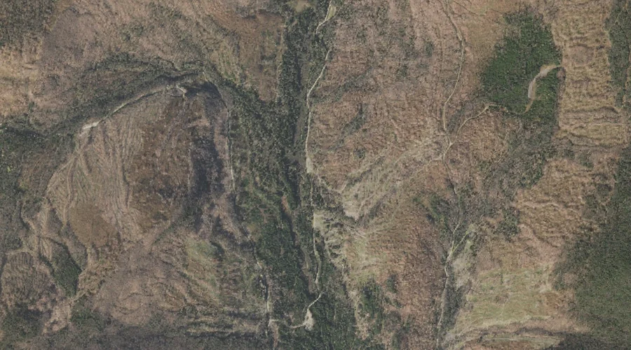
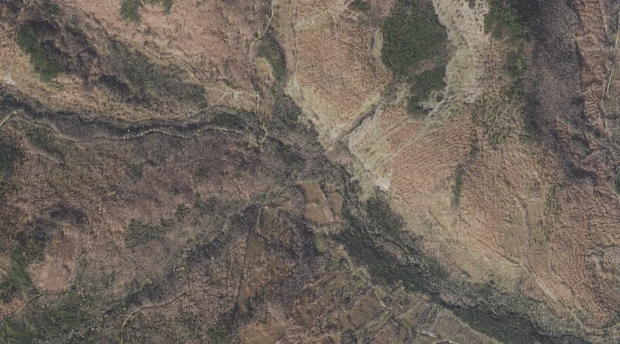
Alder Brook is a stream in Coos County, New Hampshire, located about 44.5 miles north-northwest of Chapman Inn in Bethel, Maine. It appears on the USGS Diamond Pond…
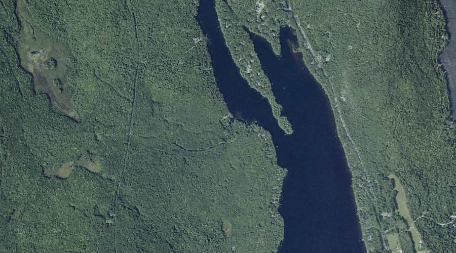
Beaver Brook is a stream in Kennebec County, Maine, located about 44.6 miles east-northeast of Chapman Inn in Bethel, Maine. It appears on the USGS Belgrade Lakes topographic…
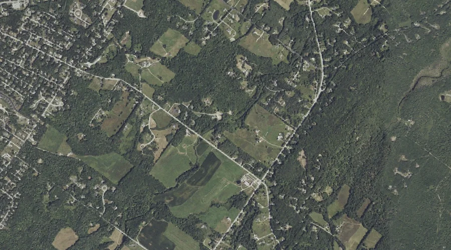
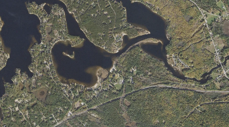
Legrand Brook is a stream in Cumberland County, Maine, located about 44.4 miles south-southeast of Chapman Inn in Bethel, Maine. It appears on the USGS North Windham topographic…
Horn Brook is a stream in Coos County, New Hampshire, located about 44.4 miles north-northwest of Chapman Inn in Bethel, Maine. It appears on the USGS Diamond Pond…
Leavitt Brook is a stream in Carroll County, New Hampshire, located about 44.4 miles south-southwest of Chapman Inn in Bethel, Maine. It appears on the USGS Freedom topographic…
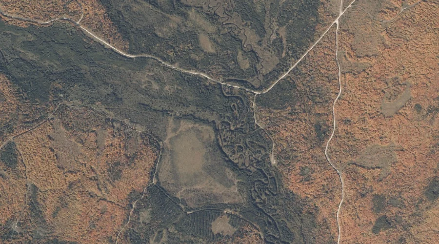
Toothaker Brook Number One is a stream in Oxford County, Maine, located about 44.4 miles north of Chapman Inn in Bethel, Maine. It appears on the USGS Kennebago…
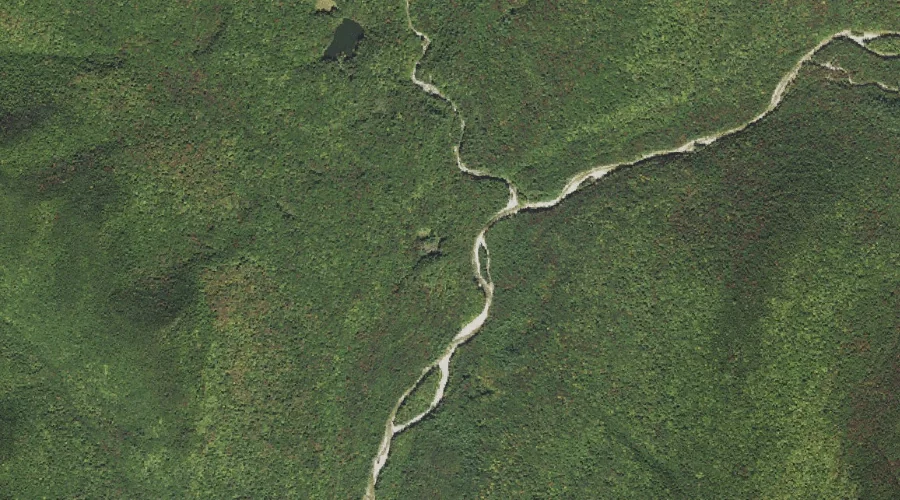
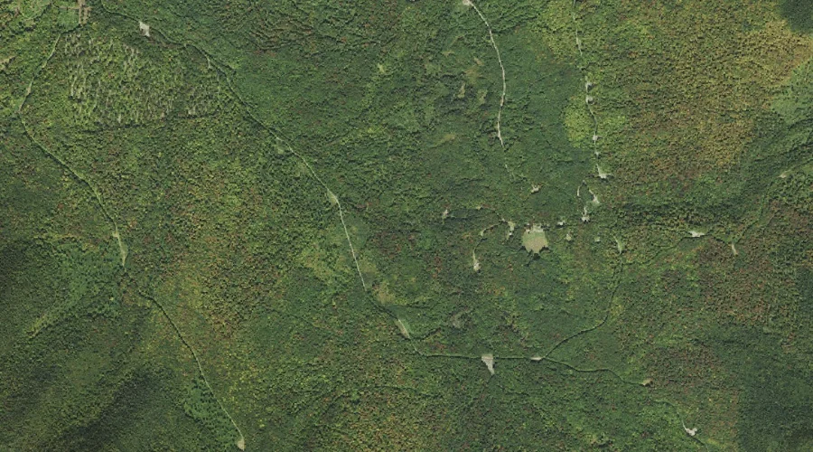
Birch Island Brook is a stream in Grafton County, New Hampshire, located about 44.3 miles west-southwest of Chapman Inn in Bethel, Maine. It appears on the USGS Mount…
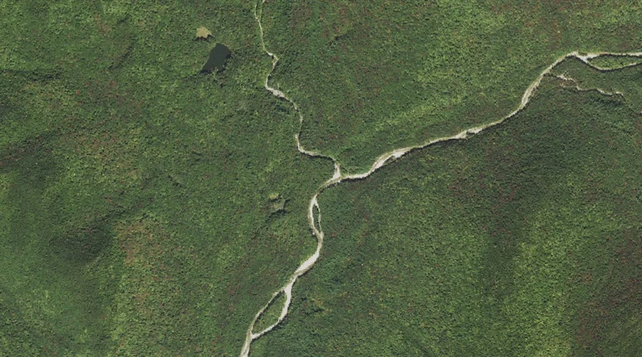
Franconia Branch is a stream in Grafton County, New Hampshire, located about 44.2 miles west-southwest of Chapman Inn in Bethel, Maine. It appears on the USGS Mount Osceola…
West Branch Little Dead Diamond River is a stream in Coos County, New Hampshire, located about 44.2 miles north-northwest of Chapman Inn in Bethel, Maine. It appears on…
Hymmel Branch is a stream in Coos County, New Hampshire, located about 44.2 miles northwest of Chapman Inn in Bethel, Maine. It appears on the USGS Tinkerville topographic…