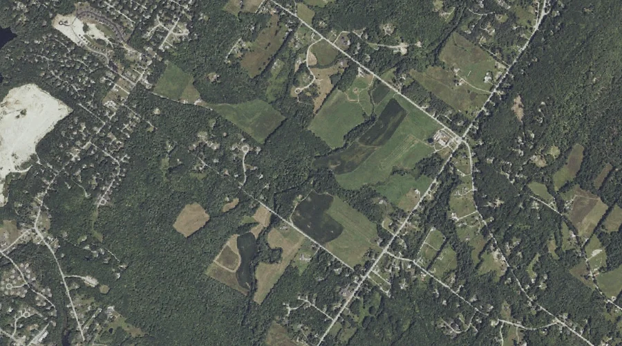
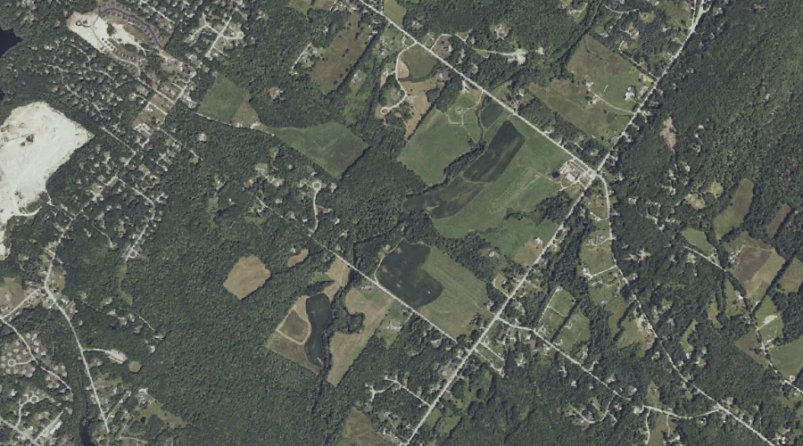
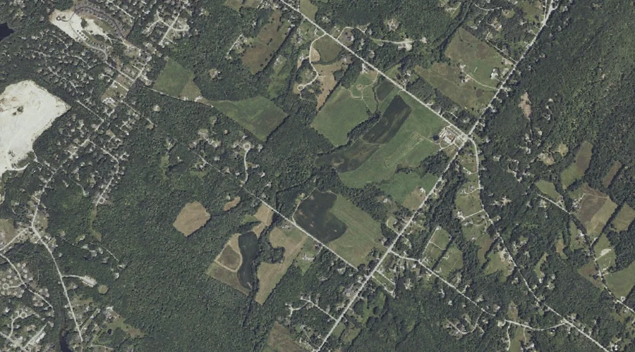
Baker Brook is a stream in Cumberland County, Maine, located about 44.6 miles south-southeast of Chapman Inn in Bethel, Maine. It appears on the USGS North Windham topographic…
South Brook is a stream in Oxford County, Maine, located about 44.6 miles north of Chapman Inn in Bethel, Maine. It appears on the USGS Kennebago topographic quadrangle.
Dutton Hills Brook is a stream in Cumberland County, Maine, located about 44.6 miles south-southeast of Chapman Inn in Bethel, Maine. It appears on the USGS North Windham…
Stanley Hall Brook is a stream in Cumberland County, Maine, located about 44.6 miles south-southeast of Chapman Inn in Bethel, Maine. It appears on the USGS North Windham…
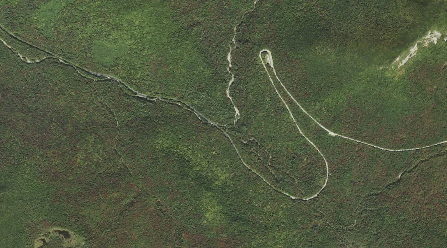
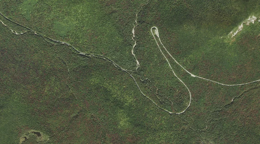
South Fork Hancock Branch is a stream in Grafton County, New Hampshire, located about 44.6 miles southwest of Chapman Inn in Bethel, Maine. It appears on the USGS…
North Fork Hancock Branch is a stream in Grafton County, New Hampshire, located about 44.6 miles southwest of Chapman Inn in Bethel, Maine. It appears on the USGS…
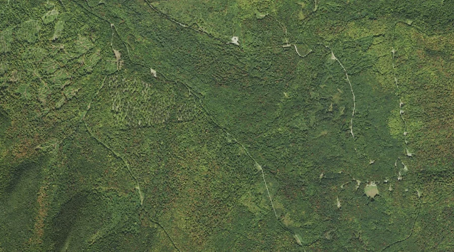
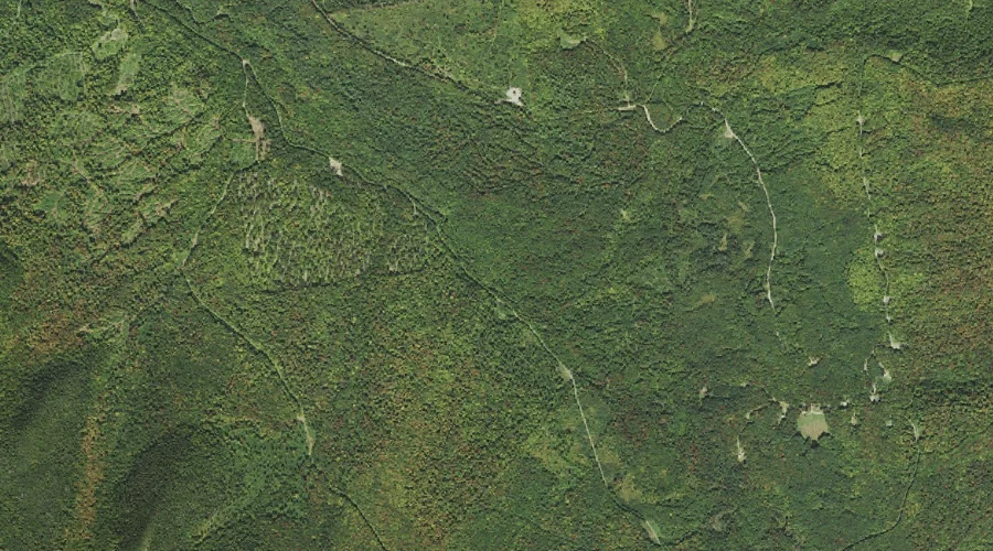
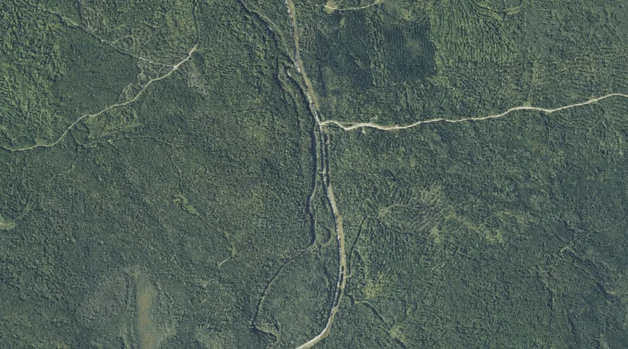
South Branch Lyman Brook is a stream in Coos County, New Hampshire, located about 44.7 miles northwest of Chapman Inn in Bethel, Maine. It appears on the USGS…
Gore Branch is a stream in Coos County, New Hampshire, located about 44.7 miles northwest of Chapman Inn in Bethel, Maine. It appears on the USGS Tinkerville topographic…
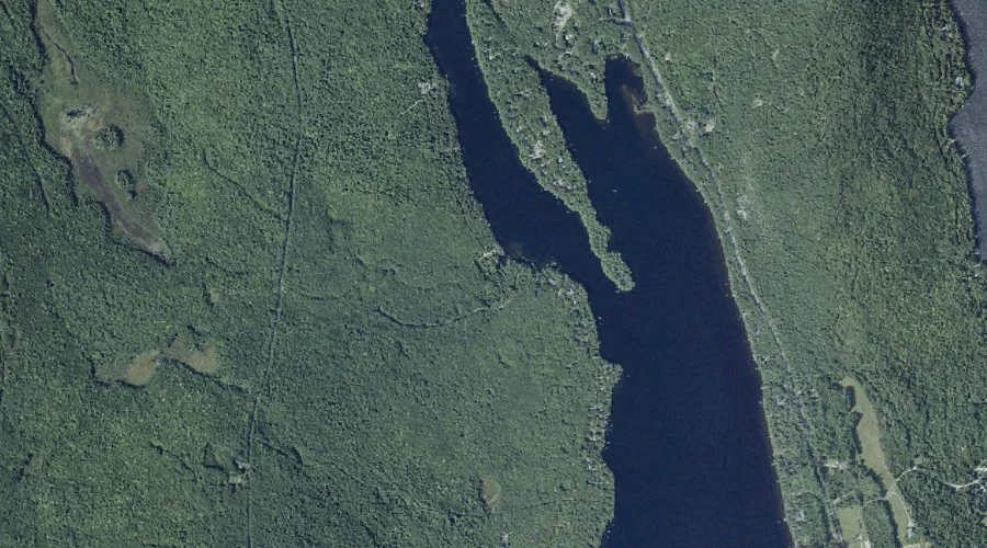
Quill Pond Brook is a stream in Franklin County, Maine, located about 44.7 miles north-northeast of Chapman Inn in Bethel, Maine. It appears on the USGS Quill Hill…
Beaver Brook is a stream in Kennebec County, Maine, located about 44.6 miles east-northeast of Chapman Inn in Bethel, Maine. It appears on the USGS Belgrade Lakes topographic…