 Aerial imagery: USGS National Map (public domain)
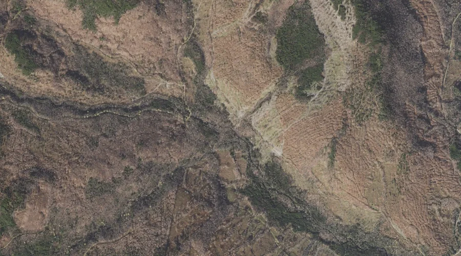
Pesky Brook — Streams 44.2 Miles NNW of Chapman Inn
Coos County, New Hampshire · USGS Mount Pisgah Quadrangle · GNIS 871050
44.2 miles north-northwest of Chapman Inn, on the USGS Mount Pisgah topographic quadrangle, Pesky Brook is a stream recorded in Coos County, New Hampshire by the federal Geographic Names Information System.
Landmark Profile
Classification & USGS reference
The USGS Mount Pisgah 7.5-minute topographic quadrangle places Pesky Brook in Coos County, New Hampshire (FIPS 33/007), classified as a stream in the federal GNIS (Feature ID 871050). Catalogued in GNIS since 02/01/1990.
Coordinates & physical setting
Pesky Brook sits at 44.98171° N, 71.17869° W (DMS 44°58′54″ N, 71°10′43″ W).
As a linear feature its source lies near 44.99556° N, 71.19111° W (DMS 44°59′44″ N, 71°11′28″ W) — useful for anglers and paddlers tracing the upstream end.
Other streams in Coos County, New Hampshire
Coos County, NH contains 300 streams catalogued in the USGS Geographic Names Information System, counting Pesky Brook itself. The ones closest to Pesky Brook:
| Feature | USGS Quadrangle | Distance |
|---|---|---|
| West Branch Little Dead Diamond River | Mount Pisgah | 0.1 mi |
| Lost Valley Brook | Mount Pisgah | 1.7 mi |
| Tracy Brook | Mount Pisgah | 2 mi |
| Middle Branch Dead Diamond River | Magalloway Mountain | 2.1 mi |
| West Branch Dead Diamond | Magalloway Mountain | 2.1 mi |
| South Branch Little Dead Diamond River | Mount Pisgah | 2.1 mi |
| Cascade Brook | Magalloway Mountain | 2.3 mi |
| Roby Brook | Magalloway Mountain | 2.4 mi |
| Little Dead Diamond River | Wilsons Mills | 2.8 mi |
| Pisgah Brook | Magalloway Mountain | 2.8 mi |
Features on the USGS Mount Pisgah Quadrangle
The Mount Pisgah 7.5-minute topographic quadrangle holds 16 catalogued natural features alongside Pesky Brook. A sampling nearest to this location:
| Feature | Type | County | Offset |
|---|---|---|---|
| West Branch Little Dead Diamond River | Streams | Coos County, NH | 0.1 mi |
| Lost Valley Brook | Streams | Coos County, NH | 1.7 mi |
| Mount Pisgah | Summits | Coos County, NH | 1.9 mi |
| Tracy Brook | Streams | Coos County, NH | 2 mi |
| South Branch Little Dead Diamond River | Streams | Coos County, NH | 2.1 mi |
| Crystal Mountain | Summits | Coos County, NH | 3.4 mi |
| Mount Tucker | Summits | Coos County, NH | 3.4 mi |
| Blue Ridge | Ridges | Coos County, NH | 3.8 mi |
| Round Mountain | Summits | Coos County, NH | 4 mi |
| Chase Mountain | Summits | Coos County, NH | 5.8 mi |
Visiting from Chapman Inn
Distance, bearing & drive time
Chapman Inn sits 44.2 miles north-northwest (bearing NNW) of Pesky Brook. At moderate back-road speeds the drive runs about 76 minutes — comfortably inside a half-day outing window after breakfast.
Best time to visit
Best observed in late spring and early summer when flow is strong and banks are visible. Being this far north (lat 44.982°), first snows typically arrive by mid-October and linger into early May — narrow the window accordingly. At 44.2 miles from the Inn, block the full day — sunrise start, late return, packed meals. Conditions at Pesky Brook track the nearby West Branch Little Dead Diamond River stream (essentially adjacent) closely — if that is runnable, so is this.
Nearest features to Pesky Brook
| Feature | Type | County | Distance |
|---|---|---|---|
| West Branch Little Dead Diamond River | Streams | Coos County, NH | 0.1 mi |
| Lost Valley Brook | Streams | Coos County, NH | 1.7 mi |
| Mount Pisgah | Summits | Coos County, NH | 1.9 mi |
| Tracy Brook | Streams | Coos County, NH | 2 mi |
| Middle Branch Dead Diamond River | Streams | Coos County, NH | 2.1 mi |
Frequently Asked Questions
Where is Pesky Brook located?
Pesky Brook is in Coos County, New Hampshire, approximately 44.2 miles north-northwest of Chapman Inn in Bethel, Maine. It appears on the USGS Mount Pisgah topographic quadrangle.
How far is Pesky Brook from Chapman Inn?
The drive runs about 76 minutes, 44.2 miles north-northwest (bearing NNW) of the Inn.
What type of natural feature is Pesky Brook?
The U.S. Geological Survey classifies Pesky Brook as a stream, catalogued under GNIS Feature ID 871050 on the Mount Pisgah quadrangle.
When is the best time to visit Pesky Brook?
Best observed in late spring and early summer when flow is strong and banks are visible.
How many other streams are in Coos County, New Hampshire?
GNIS lists 299 other streams in Coos County, New Hampshire.