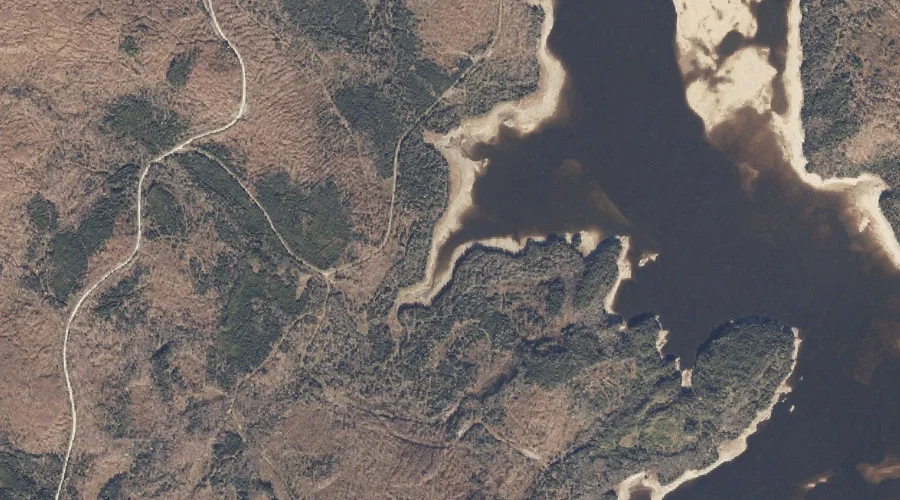
West Branch is a stream in Carroll County, New Hampshire, located about 45.2 miles south-southwest of Chapman Inn in Bethel, Maine. It appears on the USGS Ossipee Lake…
South Hammond Brook is a stream in Oxford County, Maine, located about 44.9 miles north-northwest of Chapman Inn in Bethel, Maine. It appears on the USGS Bosebuck Mountain…
Hix Brook is a stream in Coos County, New Hampshire, located about 45.0 miles northwest of Chapman Inn in Bethel, Maine. It appears on the USGS Diamond Pond…
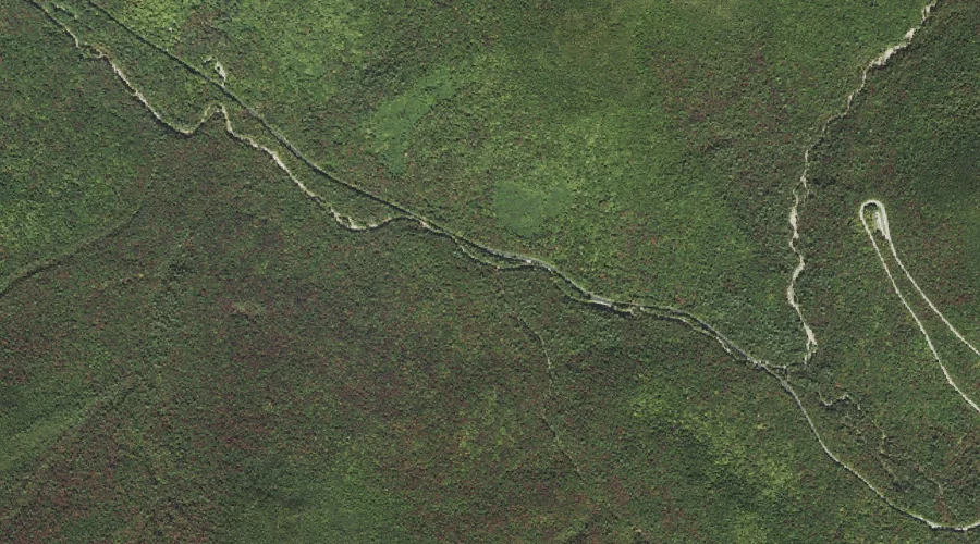
Blasde Brook is a stream in Carroll County, New Hampshire, located about 45.0 miles south-southwest of Chapman Inn in Bethel, Maine. It appears on the USGS Tamworth topographic…
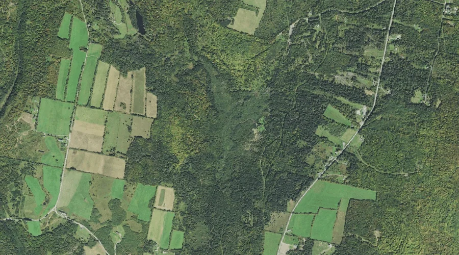
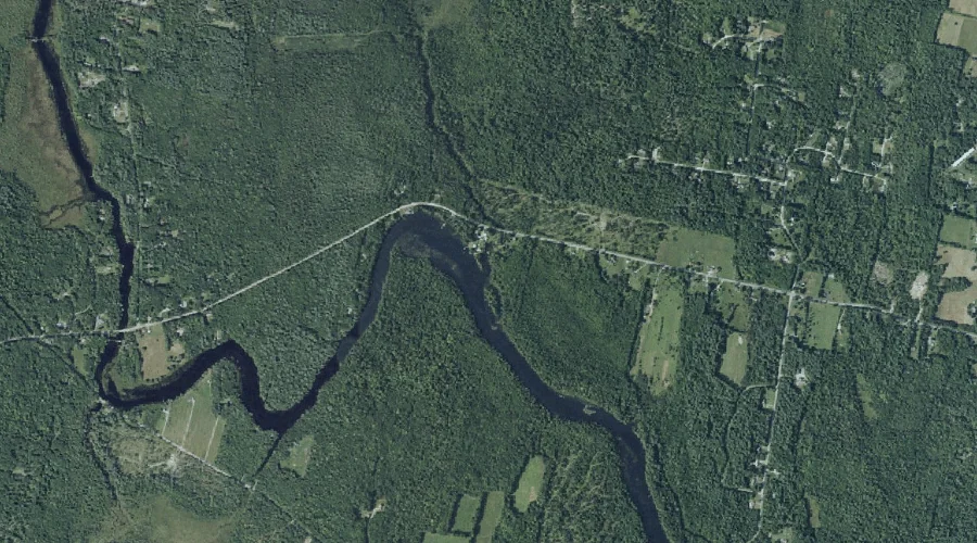
Mears Brook is a stream in Kennebec County, Maine, located about 45.1 miles east of Chapman Inn in Bethel, Maine. It appears on the USGS Winthrop topographic quadrangle.
Pine Brook is a stream in Grafton County, New Hampshire, located about 45.1 miles southwest of Chapman Inn in Bethel, Maine. It appears on the USGS Mount Osceola…
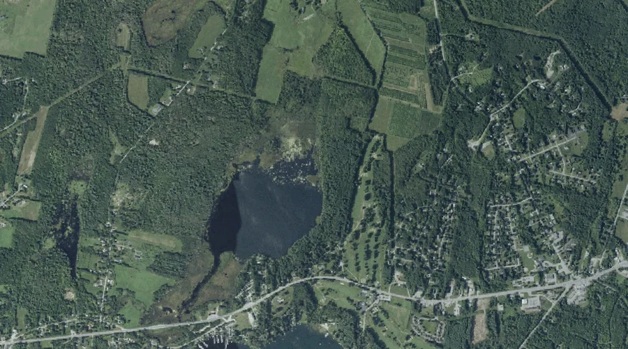
Meadow Brook is a stream in Kennebec County, Maine, located about 44.8 miles east of Chapman Inn in Bethel, Maine. It appears on the USGS Readfield topographic quadrangle.
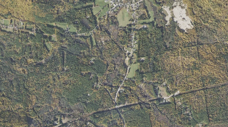
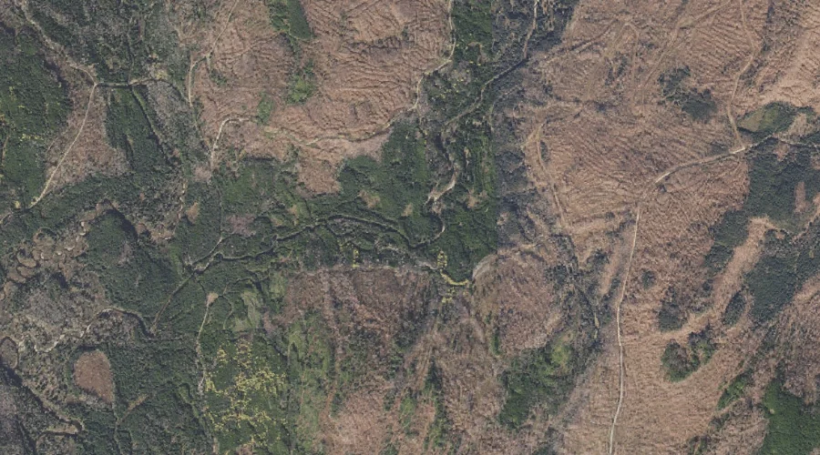
Beaver Brook is a stream in Oxford County, Maine, located about 44.8 miles north of Chapman Inn in Bethel, Maine. It appears on the USGS Kennebago topographic quadrangle.
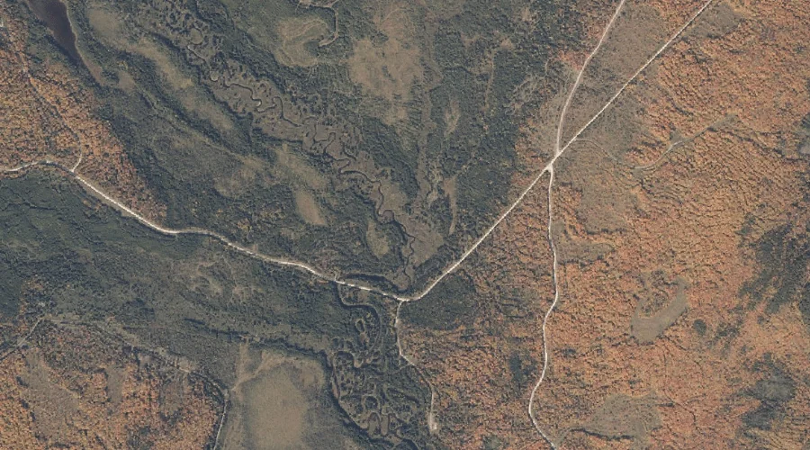
East Branch Dead Diamond River is a stream in Coos County, New Hampshire, located about 44.8 miles north-northwest of Chapman Inn in Bethel, Maine. It appears on the…
Phillips Brook is a stream in Carroll County, New Hampshire, located about 44.8 miles south-southwest of Chapman Inn in Bethel, Maine. It appears on the USGS Freedom topographic…