 Aerial imagery: USGS National Map (public domain)
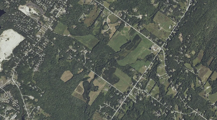
Baker Brook — Streams 44.6 Miles SSE of Chapman Inn
Cumberland County, Maine · USGS North Windham Quadrangle · GNIS 561460
Catalogued on the USGS North Windham quadrangle in Cumberland County, Maine, Baker Brook — a stream — lies 44.6 miles south-southeast of Chapman Inn.
Wikidata short description: “river in Cumberland County, Maine, United States of America”
Landmark Profile
Classification & USGS reference
Catalogued under GNIS Feature ID 561460, Baker Brook is recorded as a stream on the USGS North Windham quadrangle in Cumberland County, Maine (FIPS 23/005). Catalogued in GNIS since 09/30/1980.
Coordinates & physical setting
Baker Brook sits at 43.82286° N, 70.40061° W (DMS 43°49′22″ N, 70°24′02″ W).
As a linear feature its source lies near 43.84063° N, 70.36089° W (DMS 43°50′26″ N, 70°21′39″ W) — useful for anglers and paddlers tracing the upstream end.
Other streams in Cumberland County, Maine
Cumberland County, ME contains 110 streams catalogued in the USGS Geographic Names Information System, counting Baker Brook itself. The ones closest to Baker Brook:
| Feature | USGS Quadrangle | Distance |
|---|---|---|
| Dutton Hills Brook | North Windham | 0 mi |
| Stanley Hall Brook | North Windham | 0 mi |
| Legrand Brook | North Windham | 0.6 mi |
| Elmer Brook | North Windham | 0.8 mi |
| Ditch Brook | North Windham | 1.2 mi |
| Ollie Brook | North Windham | 1.9 mi |
| Glantz Brook | North Windham | 1.9 mi |
| Otter Brook | North Windham | 2.8 mi |
| McIntosh Brook | Cumberland Center | 3.1 mi |
| Outlet Brook | North Windham | 3.1 mi |
Features on the USGS North Windham Quadrangle
The North Windham 7.5-minute topographic quadrangle holds 58 catalogued natural features alongside Baker Brook. A sampling nearest to this location:
| Feature | Type | County | Offset |
|---|---|---|---|
| Dutton Hills Brook | Streams | Cumberland County, ME | 0 mi |
| Stanley Hall Brook | Streams | Cumberland County, ME | 0 mi |
| Legrand Brook | Streams | Cumberland County, ME | 0.6 mi |
| Elmer Brook | Streams | Cumberland County, ME | 0.8 mi |
| Baker Mountain | Summits | Cumberland County, ME | 1.1 mi |
| Ditch Brook | Streams | Cumberland County, ME | 1.2 mi |
| Collins Pond | Lakes | Cumberland County, ME | 1.4 mi |
| Mill Pond | Reservoirs | Cumberland County, ME | 1.7 mi |
| Brown Cove | Bays | Cumberland County, ME | 1.8 mi |
| Ollie Brook | Streams | Cumberland County, ME | 1.9 mi |
Visiting from Chapman Inn
Distance, bearing & drive time
A 76-minute drive along back roads separates the front door of Chapman Inn from Baker Brook — 44.6 miles south-southeast as the crow flies, on compass bearing SSE.
Best time to visit
Best observed in late spring and early summer when flow is strong and banks are visible. At this latitude (43.823°), the shoulder seasons are workable — April and November can be comfortable on mild years. At 44.6 miles from the Inn, block the full day — sunrise start, late return, packed meals. Conditions at Baker Brook track the nearby Dutton Hills Brook stream (essentially adjacent) closely — if that is runnable, so is this.
Nearest features to Baker Brook
| Feature | Type | County | Distance |
|---|---|---|---|
| Dutton Hills Brook | Streams | Cumberland County, ME | 0 mi |
| Stanley Hall Brook | Streams | Cumberland County, ME | 0 mi |
| Legrand Brook | Streams | Cumberland County, ME | 0.6 mi |
| Elmer Brook | Streams | Cumberland County, ME | 0.8 mi |
| Baker Mountain | Summits | Cumberland County, ME | 1.1 mi |
Frequently Asked Questions
Where is Baker Brook located?
Baker Brook is in Cumberland County, Maine, approximately 44.6 miles south-southeast of Chapman Inn in Bethel, Maine. It appears on the USGS North Windham topographic quadrangle.
How far is Baker Brook from Chapman Inn?
The drive runs about 76 minutes, 44.6 miles south-southeast (bearing SSE) of the Inn.
What type of natural feature is Baker Brook?
The U.S. Geological Survey classifies Baker Brook as a stream, catalogued under GNIS Feature ID 561460 on the North Windham quadrangle.
When is the best time to visit Baker Brook?
Best observed in late spring and early summer when flow is strong and banks are visible.
How many other streams are in Cumberland County, Maine?
GNIS lists 109 other streams in Cumberland County, Maine.
Wikidata: Q34648572.