 Aerial imagery: USGS National Map (public domain)
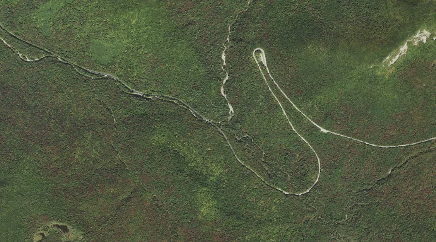
South Fork Hancock Branch — Streams 44.6 Miles SW of Chapman Inn
Grafton County, New Hampshire · USGS Mount Osceola Quadrangle · GNIS 872702
Within Grafton County, New Hampshire, on the USGS Mount Osceola quadrangle, the stream known as South Fork Hancock Branch sits 44.6 miles southwest of Chapman Inn.
Wikidata short description: “stream in Grafton County, New Hampshire, United States of America”
Landmark Profile
Classification & USGS reference
Within Grafton County, New Hampshire, the U.S. Geological Survey lists South Fork Hancock Branch as a stream on the Mount Osceola topographic quadrangle (FIPS 33/009), under Feature ID 872702. Catalogued in GNIS since 08/27/1980.
Coordinates & physical setting
South Fork Hancock Branch sits at 44.03562° N, 71.52841° W (DMS 44°02′08″ N, 71°31′42″ W).
As a linear feature its source lies near 44.02000° N, 71.50917° W (DMS 44°01′12″ N, 71°30′33″ W) — useful for anglers and paddlers tracing the upstream end.
Other streams in Grafton County, New Hampshire
Grafton County, NH contains 89 streams catalogued in the USGS Geographic Names Information System, counting South Fork Hancock Branch itself. The ones closest to South Fork Hancock Branch:
| Feature | USGS Quadrangle | Distance |
|---|---|---|
| North Fork Hancock Branch | Mount Osceola | 0 mi |
| Cheney Brook | Mount Osceola | 0.6 mi |
| Pine Brook | Mount Osceola | 0.8 mi |
| Greeley Brook | Waterville Valley | 3.2 mi |
| Flume Brook | Mount Tripyramid | 3.8 mi |
| Hancock Branch | Mount Osceola | 3.9 mi |
| Kancamagus Brook | Mount Tripyramid | 4 mi |
| East Pond Brook | Waterville Valley | 4.2 mi |
| Clear Brook | Waterville Valley | 4.3 mi |
| Osceola Brook | Waterville Valley | 4.4 mi |
Features on the USGS Mount Osceola Quadrangle
The Mount Osceola 7.5-minute topographic quadrangle holds 30 catalogued natural features alongside South Fork Hancock Branch. A sampling nearest to this location:
| Feature | Type | County | Offset |
|---|---|---|---|
| North Fork Hancock Branch | Streams | Grafton County, NH | 0 mi |
| Cheney Brook | Streams | Grafton County, NH | 0.6 mi |
| Pine Brook | Streams | Grafton County, NH | 0.8 mi |
| Mad River Notch | Gaps | Grafton County, NH | 1.7 mi |
| East Peak | Summits | Grafton County, NH | 2.1 mi |
| West Peak | Summits | Grafton County, NH | 2.2 mi |
| Greeley Ponds | Lakes | Grafton County, NH | 2.3 mi |
| Mount Osceola | Summits | Grafton County, NH | 2.4 mi |
| Sandwich Range | Ranges | Grafton County, NH | 2.4 mi |
| East Pond | Lakes | Grafton County, NH | 2.7 mi |
Visiting from Chapman Inn
Distance, bearing & drive time
Follow the compass bearing SW out of Bethel for 44.6 miles (southwest) and you reach South Fork Hancock Branch; at typical rural speeds the trip runs roughly 77 minutes.
Best time to visit
Best observed in late spring and early summer when flow is strong and banks are visible. At this latitude (44.036°), the shoulder seasons are workable — April and November can be comfortable on mild years. At 44.6 miles from the Inn, block the full day — sunrise start, late return, packed meals. Conditions at South Fork Hancock Branch track the nearby North Fork Hancock Branch stream (essentially adjacent) closely — if that is runnable, so is this.
Nearest features to South Fork Hancock Branch
| Feature | Type | County | Distance |
|---|---|---|---|
| North Fork Hancock Branch | Streams | Grafton County, NH | 0 mi |
| Cheney Brook | Streams | Grafton County, NH | 0.6 mi |
| Pine Brook | Streams | Grafton County, NH | 0.8 mi |
| Mad River Notch | Gaps | Grafton County, NH | 1.7 mi |
| Kancamagus Pass | Gaps | Grafton County, NH | 1.9 mi |
Frequently Asked Questions
Where is South Fork Hancock Branch located?
South Fork Hancock Branch is in Grafton County, New Hampshire, approximately 44.6 miles southwest of Chapman Inn in Bethel, Maine. It appears on the USGS Mount Osceola topographic quadrangle.
How far is South Fork Hancock Branch from Chapman Inn?
The drive runs about 77 minutes, 44.6 miles southwest (bearing SW) of the Inn.
What type of natural feature is South Fork Hancock Branch?
The U.S. Geological Survey classifies South Fork Hancock Branch as a stream, catalogued under GNIS Feature ID 872702 on the Mount Osceola quadrangle.
When is the best time to visit South Fork Hancock Branch?
Best observed in late spring and early summer when flow is strong and banks are visible.
How many other streams are in Grafton County, New Hampshire?
GNIS lists 88 other streams in Grafton County, New Hampshire.
Wikidata: Q35316372.