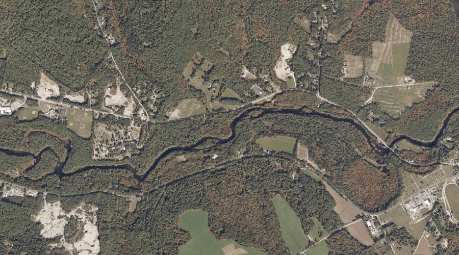
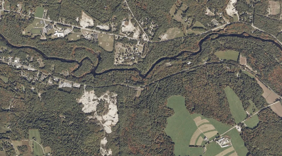
Merrifield Brook is a stream in York County, Maine, located about 43.0 miles south of Chapman Inn in Bethel, Maine. It appears on the USGS Cornish topographic quadrangle.
Towles Hill is a summit in York County, Maine, located about 42.5 miles south of Chapman Inn in Bethel, Maine. It appears on the USGS Cornish topographic quadrangle.
Pease Brook is a stream in York County, Maine, located about 42.5 miles south of Chapman Inn in Bethel, Maine. It appears on the USGS Cornish topographic quadrangle.
Wedgwood Brook is a stream in York County, Maine, located about 41.6 miles south of Chapman Inn in Bethel, Maine. It appears on the USGS Cornish topographic quadrangle.
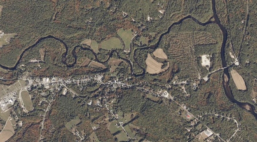
Ossipee River Reservoir is a reservoir in York County, Maine, located about 41.6 miles south of Chapman Inn in Bethel, Maine. It appears on the USGS Kezar Falls…
Wadsworth Brook is a stream in York County, Maine, located about 41.3 miles south of Chapman Inn in Bethel, Maine. It appears on the USGS Cornish topographic quadrangle.
Little River is a stream in York County, Maine, located about 41.3 miles south of Chapman Inn in Bethel, Maine. It appears on the USGS Cornish topographic quadrangle.
Ossipee River Reservoir is a reservoir in York County, Maine, located about 41.4 miles south of Chapman Inn in Bethel, Maine. It appears on the USGS Kezar Falls…