 Aerial imagery: USGS National Map (public domain)
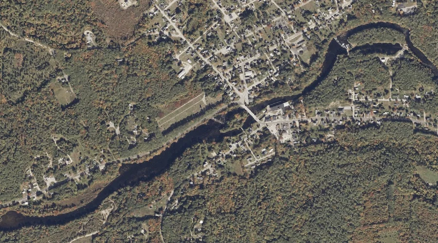
Ossipee River Reservoir — Reservoirs 41.6 Miles S of Chapman Inn
York County, Maine · USGS Kezar Falls Quadrangle · GNIS 1773598
Catalogued on the USGS Kezar Falls quadrangle in York County, Maine, Ossipee River Reservoir — a reservoir — lies 41.6 miles south of Chapman Inn.
Landmark Profile
Classification & USGS reference
Catalogued under GNIS Feature ID 1773598, Ossipee River Reservoir is recorded as a reservoir on the USGS Kezar Falls quadrangle in York County, Maine (FIPS 23/031). Last revised by the Board on Geographic Names on 05/24/2010.
Coordinates & physical setting
Ossipee River Reservoir sits at 43.80655° N, 70.89037° W (DMS 43°48′24″ N, 70°53′25″ W).
Features on the USGS Kezar Falls Quadrangle
The Kezar Falls 7.5-minute topographic quadrangle holds 32 catalogued natural features alongside Ossipee River Reservoir. A sampling nearest to this location:
| Feature | Type | County | Offset |
|---|---|---|---|
| Ossipee River Reservoir | Reservoirs | York County, ME | 0.4 mi |
| Ridlon Brook | Streams | Oxford County, ME | 0.6 mi |
| Ridlon Brook | Reservoirs | Oxford County, ME | 0.7 mi |
| Spectacle Ponds | Lakes | Oxford County, ME | 1.2 mi |
| Kezar Hill | Summits | York County, ME | 1.5 mi |
| Libby Hill | Summits | Oxford County, ME | 1.8 mi |
| Great Brook | Streams | York County, ME | 2 mi |
| Stanley Pond | Reservoirs | Oxford County, ME | 2 mi |
| Black Lake | Reservoirs | Oxford County, ME | 2.1 mi |
| Chapman Pond | Lakes | Oxford County, ME | 2.3 mi |
Visiting from Chapman Inn
Distance, bearing & drive time
A 71-minute drive along back roads separates the front door of Chapman Inn from Ossipee River Reservoir — 41.6 miles south as the crow flies, on compass bearing S.
Best time to visit
June through September for paddling and swimming; January through March for ice fishing. At this latitude (43.807°), the shoulder seasons are workable — April and November can be comfortable on mild years. At 41.6 miles from the Inn, block the full day — sunrise start, late return, packed meals. Conditions at Ossipee River Reservoir track the nearby Ossipee River Reservoir (0.4 mi away) closely — if that is runnable, so is this.
Nearest features to Ossipee River Reservoir
| Feature | Type | County | Distance |
|---|---|---|---|
| Ossipee River Reservoir | Reservoirs | York County, ME | 0.4 mi |
| Ridlon Brook | Streams | Oxford County, ME | 0.6 mi |
| Ridlon Brook | Reservoirs | Oxford County, ME | 0.7 mi |
| Spectacle Ponds | Lakes | Oxford County, ME | 1.2 mi |
| Kezar Hill | Summits | York County, ME | 1.5 mi |
Frequently Asked Questions
Where is Ossipee River Reservoir located?
Ossipee River Reservoir is in York County, Maine, approximately 41.6 miles south of Chapman Inn in Bethel, Maine. It appears on the USGS Kezar Falls topographic quadrangle.
How far is Ossipee River Reservoir from Chapman Inn?
The drive runs about 71 minutes, 41.6 miles south (bearing S) of the Inn.
What type of natural feature is Ossipee River Reservoir?
The U.S. Geological Survey classifies Ossipee River Reservoir as a reservoir, catalogued under GNIS Feature ID 1773598 on the Kezar Falls quadrangle.
When is the best time to visit Ossipee River Reservoir?
June through September for paddling and swimming; January through March for ice fishing.