Foss Ponds is a lake in York County, Maine, located about 49.6 miles south of Chapman Inn in Bethel, Maine. It appears on the USGS Limington topographic quadrangle.
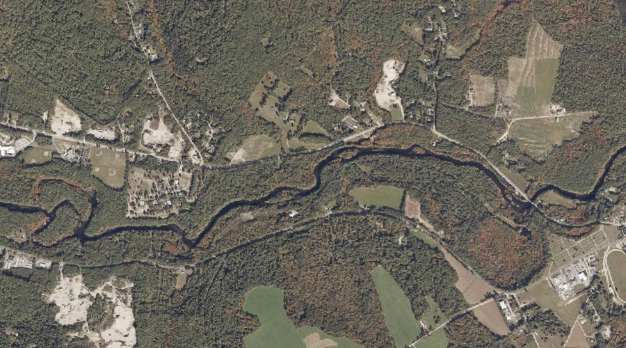
Fenderson Brook is a stream in York County, Maine, located about 49.6 miles south of Chapman Inn in Bethel, Maine. It appears on the USGS Limerick topographic quadrangle.
Cannon Hill is a summit in York County, Maine, located about 49.2 miles south of Chapman Inn in Bethel, Maine. It appears on the USGS Limerick topographic quadrangle.
Leavitt Brook is a stream in York County, Maine, located about 49.3 miles south of Chapman Inn in Bethel, Maine. It appears on the USGS Limerick topographic quadrangle.
Maloy Mountain is a summit in York County, Maine, located about 49.1 miles south of Chapman Inn in Bethel, Maine. It appears on the USGS Limington topographic quadrangle.
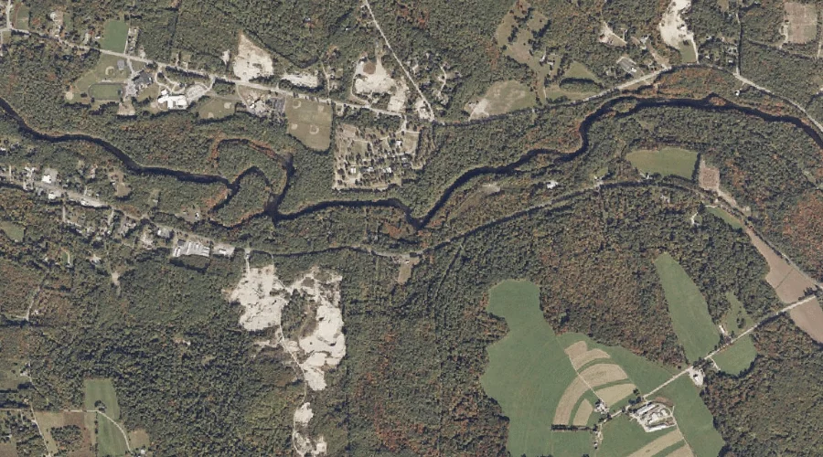
Hoyt Mountain is a summit in York County, Maine, located about 48.9 miles south of Chapman Inn in Bethel, Maine. It appears on the USGS Limerick topographic quadrangle.
Towle Mountain is a summit in York County, Maine, located about 48.8 miles south of Chapman Inn in Bethel, Maine. It appears on the USGS Limerick topographic quadrangle.
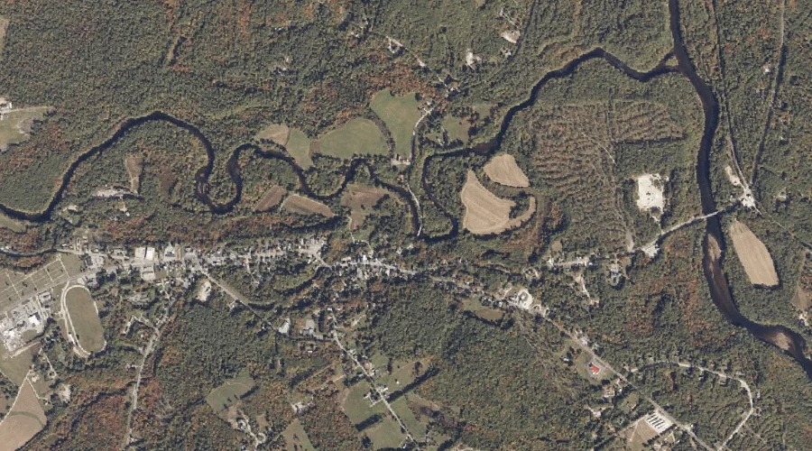
Pickerel Pond is a lake in York County, Maine, located about 48.6 miles south of Chapman Inn in Bethel, Maine. It appears on the USGS Limerick topographic quadrangle.
Sokokis Lake is a reservoir in York County, Maine, located about 48.6 miles south of Chapman Inn in Bethel, Maine. It appears on the USGS Limerick topographic quadrangle.
Champion Pond is a lake in York County, Maine, located about 48.2 miles south of Chapman Inn in Bethel, Maine. It appears on the USGS West Newfield topographic…