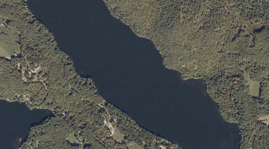
West Pond is a lake in York County, Maine, located about 45.2 miles south of Chapman Inn in Bethel, Maine. It appears on the USGS Cornish topographic quadrangle.
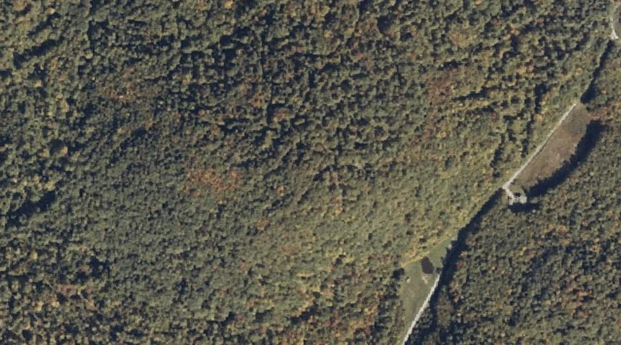
Clark Mountain is a summit in York County, Maine, located about 44.8 miles south of Chapman Inn in Bethel, Maine. It appears on the USGS Cornish topographic quadrangle.
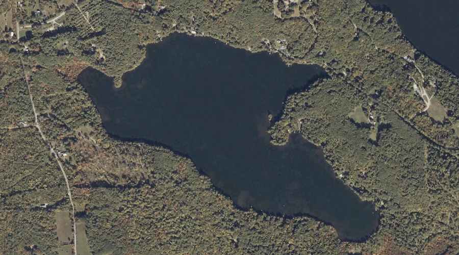
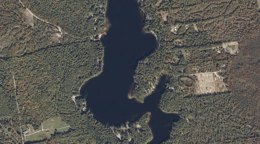
Long Pond is a lake in York County, Maine, located about 44.8 miles south of Chapman Inn in Bethel, Maine. It appears on the USGS Cornish topographic quadrangle.
Gladys and Rose Hill is a summit in York County, Maine, located about 44.8 miles south of Chapman Inn in Bethel, Maine. It appears on the USGS Cornish…
Pease Mountain is a summit in York County, Maine, located about 44.6 miles south of Chapman Inn in Bethel, Maine. It appears on the USGS Cornish topographic quadrangle.
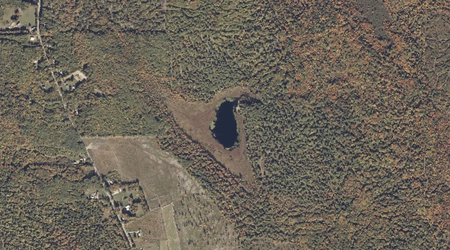
Allen Pond is a lake in York County, Maine, located about 44.3 miles south of Chapman Inn in Bethel, Maine. It appears on the USGS Kezar Falls topographic…
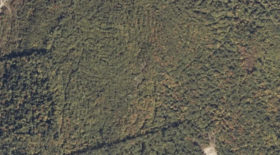
Moody Mountain is a summit in York County, Maine, located about 43.9 miles south of Chapman Inn in Bethel, Maine. It appears on the USGS Steep Falls topographic…
Churchill Hill is a summit in York County, Maine, located about 44.0 miles south of Chapman Inn in Bethel, Maine. It appears on the USGS Kezar Falls topographic…
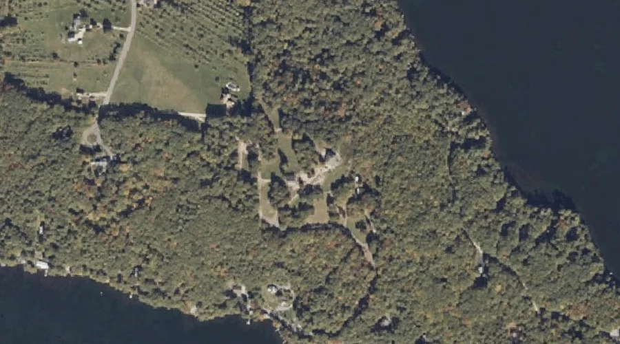
Horne Pond is a reservoir in York County, Maine, located about 44.0 miles south of Chapman Inn in Bethel, Maine. It appears on the USGS Steep Falls topographic…