Pickpole Swamp is a swamp in York County, Maine, located about 44.0 miles south of Chapman Inn in Bethel, Maine. It appears on the USGS Steep Falls topographic…
Collomy Hill is a summit in York County, Maine, located about 43.8 miles south of Chapman Inn in Bethel, Maine. It appears on the USGS Kezar Falls topographic…
Spruce Pond is a lake in York County, Maine, located about 43.5 miles south of Chapman Inn in Bethel, Maine. It appears on the USGS Cornish topographic quadrangle.
Cold Bowling Spring is a spring in York County, Maine, located about 43.5 miles south of Chapman Inn in Bethel, Maine. It appears on the USGS Steep Falls…
Dollar Pond is a lake in York County, Maine, located about 43.5 miles south of Chapman Inn in Bethel, Maine. It appears on the USGS Steep Falls topographic…
Kezar Hill is a summit in York County, Maine, located about 43.1 miles south of Chapman Inn in Bethel, Maine. It appears on the USGS Kezar Falls topographic…
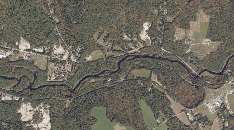
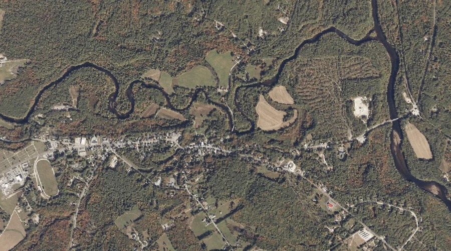
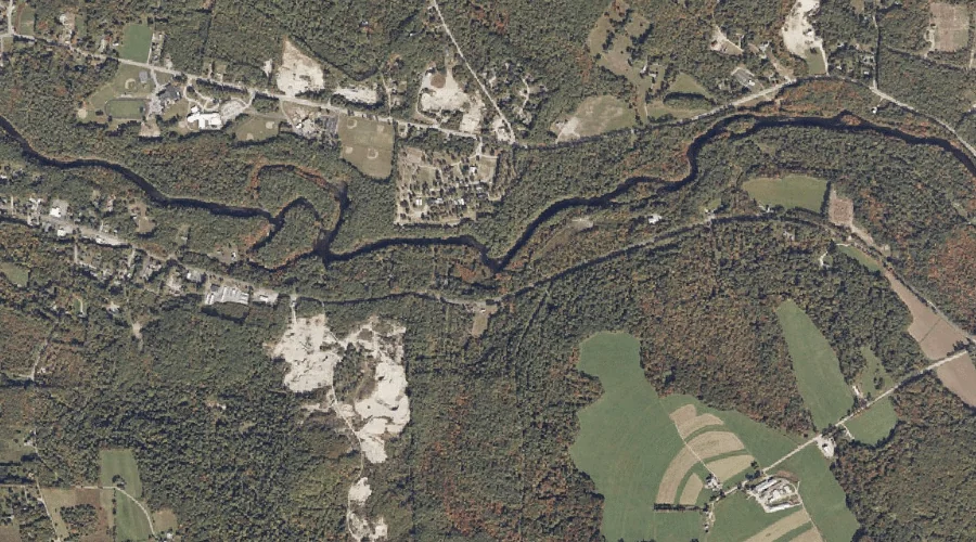
Pugsley Brook is a stream in York County, Maine, located about 43.1 miles south of Chapman Inn in Bethel, Maine. It appears on the USGS Cornish topographic quadrangle.
Smalls Hill is a summit in York County, Maine, located about 43.1 miles south of Chapman Inn in Bethel, Maine. It appears on the USGS Cornish topographic quadrangle.
Pike Hill is a summit in York County, Maine, located about 43.1 miles south of Chapman Inn in Bethel, Maine. It appears on the USGS Cornish topographic quadrangle.
Great Brook is a stream in York County, Maine, located about 43.0 miles south of Chapman Inn in Bethel, Maine. It appears on the USGS Kezar Falls topographic…