 Aerial imagery: USGS National Map (public domain)
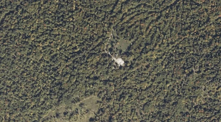
Pike Hill — Summits 43.1 Miles S of Chapman Inn
York County, Maine · USGS Cornish Quadrangle · GNIS 573341
Within York County, Maine, on the USGS Cornish quadrangle, the summit known as Pike Hill sits 43.1 miles south of Chapman Inn.
Wikidata short description: “mountain in Maine, United States of America”
Landmark Profile
Classification & USGS reference
Within York County, Maine, the U.S. Geological Survey lists Pike Hill as a summit on the Cornish topographic quadrangle (FIPS 23/031), under Feature ID 573341. Last revised by the Board on Geographic Names on 08/30/2022.
Coordinates & physical setting
Pike Hill sits at 43.78058° N, 70.81152° W (DMS 43°46′50″ N, 70°48′41″ W).
Other summits in York County, Maine
York County, ME contains 25 summits catalogued in the USGS Geographic Names Information System, counting Pike Hill itself. The ones closest to Pike Hill:
| Feature | USGS Quadrangle | Elevation | Distance |
|---|---|---|---|
| Smalls Hill | Cornish | — | 0.5 mi |
| Towles Hill | Cornish | — | 1.3 mi |
| Pease Mountain | Cornish | — | 1.6 mi |
| Clark Mountain | Cornish | — | 2.1 mi |
| Day Hill | Cornish | — | 2.2 mi |
| Guptill Hill | Limerick | — | 2.5 mi |
| Bald Head | Limerick | — | 2.6 mi |
| Hosac Mountain | Cornish | — | 2.6 mi |
| Gladys and Rose Hill | Cornish | — | 3.2 mi |
| Collomy Hill | Kezar Falls | — | 3.3 mi |
Features on the USGS Cornish Quadrangle
The Cornish 7.5-minute topographic quadrangle holds 31 catalogued natural features alongside Pike Hill. A sampling nearest to this location:
| Feature | Type | County | Offset |
|---|---|---|---|
| Smalls Hill | Summits | York County, ME | 0.5 mi |
| Towles Hill | Summits | York County, ME | 1.3 mi |
| Pease Mountain | Summits | York County, ME | 1.6 mi |
| Little River | Streams | York County, ME | 1.9 mi |
| Pugsley Brook | Streams | York County, ME | 2.1 mi |
| Clark Mountain | Summits | York County, ME | 2.1 mi |
| Day Hill | Summits | York County, ME | 2.2 mi |
| Merrifield Brook | Streams | York County, ME | 2.3 mi |
| Spruce Pond | Lakes | York County, ME | 2.4 mi |
| Wadsworth Brook | Streams | York County, ME | 2.5 mi |
Visiting from Chapman Inn
Distance, bearing & drive time
Follow the compass bearing S out of Bethel for 43.1 miles (south) and you reach Pike Hill; at typical rural speeds the trip runs roughly 74 minutes.
Best time to visit
Accessible May through November in most years. At this latitude (43.781°), the shoulder seasons are workable — April and November can be comfortable on mild years. At 43.1 miles from the Inn, block the full day — sunrise start, late return, packed meals. Conditions at Pike Hill track the nearby Smalls Hill summit (0.5 mi away) closely — if that is runnable, so is this.
Nearest features to Pike Hill
| Feature | Type | County | Distance |
|---|---|---|---|
| Smalls Hill | Summits | York County, ME | 0.5 mi |
| Towles Hill | Summits | York County, ME | 1.3 mi |
| Pease Mountain | Summits | York County, ME | 1.6 mi |
| Little River | Streams | York County, ME | 1.9 mi |
| Pugsley Brook | Streams | York County, ME | 2.1 mi |
Frequently Asked Questions
Where is Pike Hill located?
Pike Hill is in York County, Maine, approximately 43.1 miles south of Chapman Inn in Bethel, Maine. It appears on the USGS Cornish topographic quadrangle.
How far is Pike Hill from Chapman Inn?
The drive runs about 74 minutes, 43.1 miles south (bearing S) of the Inn.
What type of natural feature is Pike Hill?
The U.S. Geological Survey classifies Pike Hill as a summit, catalogued under GNIS Feature ID 573341 on the Cornish quadrangle.
When is the best time to visit Pike Hill?
Accessible May through November in most years.
How many other summits are in York County, Maine?
GNIS lists 24 other summits in York County, Maine.
Wikidata: Q33143534.